
Cycling in Kirchgellersen
Discover a map of 59 cycling routes and bike trails near Kirchgellersen, created by our community.
Region portrait
Get to know Kirchgellersen
Find the right bike route for you through Kirchgellersen, where we've got 59 cycle routes to explore. Most people get on their bikes to ride here in the month of May.
2,481 km
Tracked distance
59
Cycle routes
2,122
Population
Community
Most active users in Kirchgellersen


From our community
The best bike routes in and around Kirchgellersen

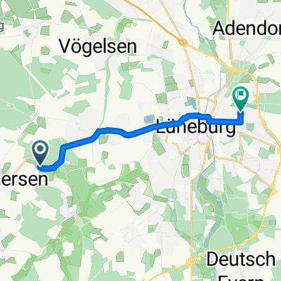
Landwehr-Singletrail_Lüneburg
Cycling route in Kirchgellersen, Lower Saxony, Germany
- 54.8 km
- Distance
- 227 m
- Ascent
- 231 m
- Descent

Kirchgellersen-Radbruch-Luhdorf-Thieshope-Jesteburg-Holm-Buchholz-zurück
Cycling route in Kirchgellersen, Lower Saxony, Germany
- 91.5 km
- Distance
- 303 m
- Ascent
- 301 m
- Descent

Hohe Linde
Cycling route in Kirchgellersen, Lower Saxony, Germany
- 13.3 km
- Distance
- 53 m
- Ascent
- 52 m
- Descent

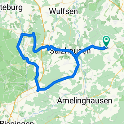
Heiligenthal Waldfahrt
Cycling route in Kirchgellersen, Lower Saxony, Germany
- 29.8 km
- Distance
- 155 m
- Ascent
- 155 m
- Descent
Discover more routes
 Rundfahrt Lüneburg, Lauenburg, Boizenburg, Bleckede
- Distance
- 97.7 km
- Ascent
- 251 m
- Descent
- 250 m
- Location
- Kirchgellersen, Lower Saxony, Germany
 Vierhöfener Seen
- Distance
- 7 km
- Ascent
- 301 m
- Descent
- 349 m
- Location
- Kirchgellersen, Lower Saxony, Germany
 ÄLí˜? nach ÄLí˜?
- Distance
- 43.4 km
- Ascent
- 244 m
- Descent
- 283 m
- Location
- Kirchgellersen, Lower Saxony, Germany
 Am Steinbint 21, Kirchgellersen nach Am Steinbint 23, Kirchgellersen
- Distance
- 29.7 km
- Ascent
- 108 m
- Descent
- 109 m
- Location
- Kirchgellersen, Lower Saxony, Germany
 Heiwee zu Gine + retour
- Distance
- 16 km
- Ascent
- 68 m
- Descent
- 65 m
- Location
- Kirchgellersen, Lower Saxony, Germany
 Amelinghausen Runde
- Distance
- 49.6 km
- Ascent
- 282 m
- Descent
- 283 m
- Location
- Kirchgellersen, Lower Saxony, Germany
 Meyja Wald
- Distance
- 9.2 km
- Ascent
- 36 m
- Descent
- 32 m
- Location
- Kirchgellersen, Lower Saxony, Germany
 AmRand der Heide
- Distance
- 62.9 km
- Ascent
- 386 m
- Descent
- 433 m
- Location
- Kirchgellersen, Lower Saxony, Germany