
Cycling in Höchst im Odenwald
Discover a map of 722 cycling routes and bike trails near Höchst im Odenwald, created by our community.
Region portrait
Get to know Höchst im Odenwald
Find the right bike route for you through Höchst im Odenwald, where we've got 722 cycle routes to explore. Most people get on their bikes to ride here in the months of July and August.
32,533 km
Tracked distance
722
Cycle routes
10,010
Population
Community
Most active users in Höchst im Odenwald


From our community
The best bike routes in and around Höchst im Odenwald
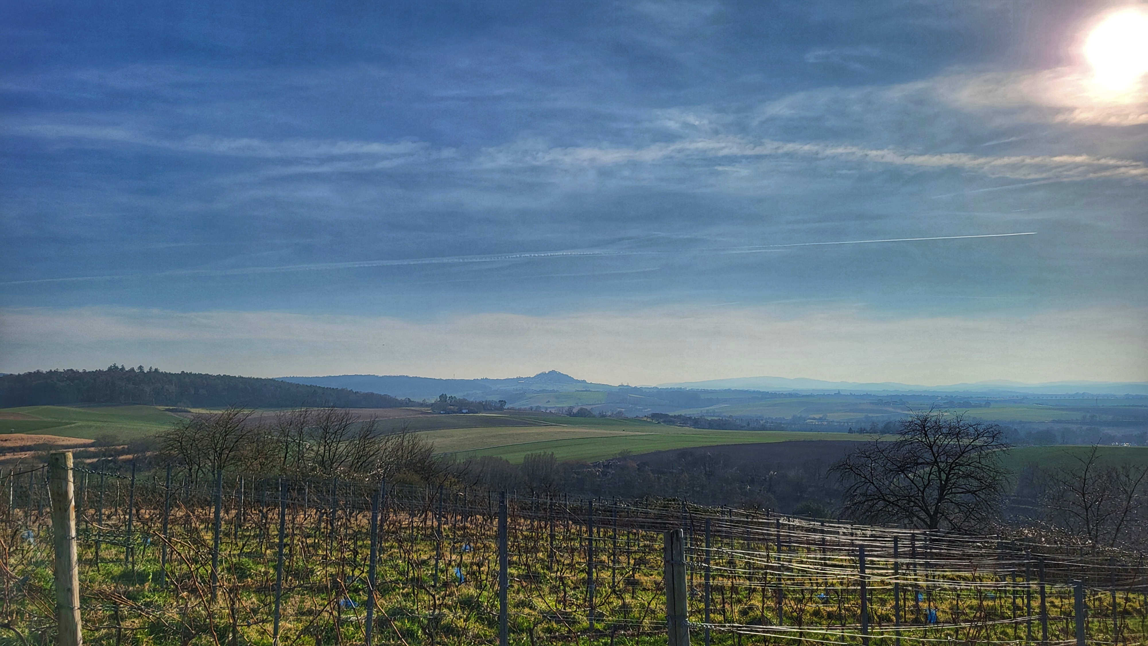


über den Otzberg nach Groß-Umstadt
Cycling route in Höchst im Odenwald, Hesse, Germany
- 39.7 km
- Distance
- 562 m
- Ascent
- 562 m
- Descent


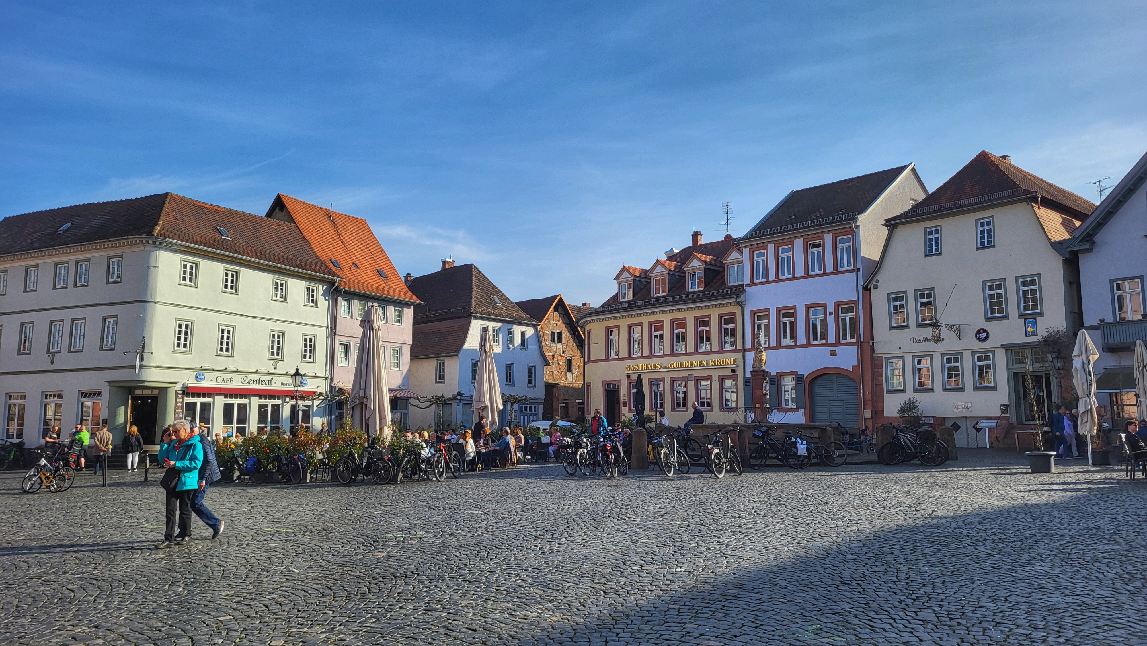
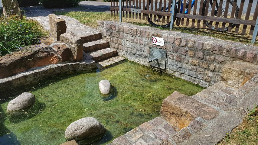
3 Brunnen Runde
Cycling route in Höchst im Odenwald, Hesse, Germany
Eine zügige 30ger Runde, vorbei an 3 Brunnen und über einige Singletrails. Für mitte Februar heute sehr Mild. Wie im Frühling. #noebike
- 31.2 km
- Distance
- 441 m
- Ascent
- 437 m
- Descent


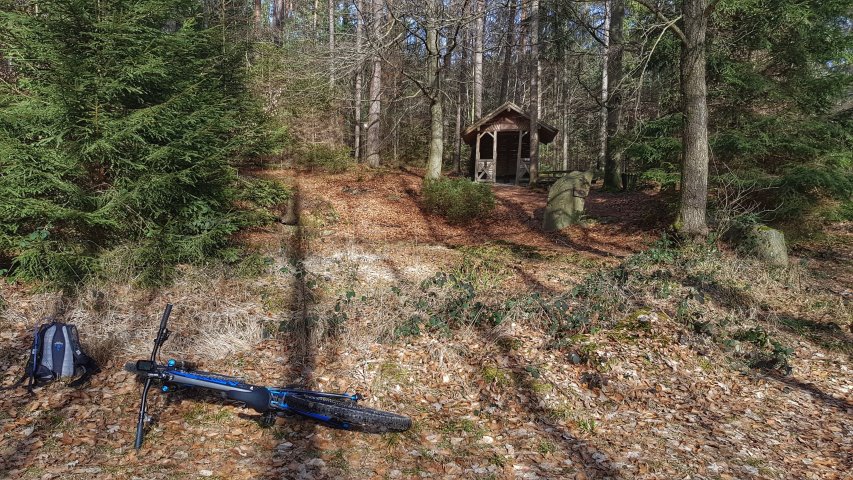
Waldhaus Obernburg
Cycling route in Höchst im Odenwald, Hesse, Germany
Mittwoch ! wo geht es hin ? Natürlich zum Waldhaus nach Obernburg. #noebike
- 35.4 km
- Distance
- 334 m
- Ascent
- 332 m
- Descent


über die Hohe Straße
Cycling route in Höchst im Odenwald, Hesse, Germany
Eigentlich wollte ich ja nur mal kurz die Pedalen kreisen lassen. Aber dann sind doch wieder ein paar Kilometer zusammen gekommen. Hat ja auch Spaß gemacht. #noebike
- 25.3 km
- Distance
- 377 m
- Ascent
- 373 m
- Descent
Discover more routes
 Toter Mann - Kimbach - Bad König
- Distance
- 35.6 km
- Ascent
- 608 m
- Descent
- 607 m
- Location
- Höchst im Odenwald, Hesse, Germany
 Matschetreten Rund um Höchst im #Odenwald
- Distance
- 32.7 km
- Ascent
- 716 m
- Descent
- 719 m
- Location
- Höchst im Odenwald, Hesse, Germany
 durch den Mühlgrund
- Distance
- 42.9 km
- Ascent
- 411 m
- Descent
- 408 m
- Location
- Höchst im Odenwald, Hesse, Germany
 zum Biergarten nach Umscht
- Distance
- 30.8 km
- Ascent
- 470 m
- Descent
- 465 m
- Location
- Höchst im Odenwald, Hesse, Germany
 Rimhorn-Lützelbach-Hainstadt Runde
- Distance
- 30.4 km
- Ascent
- 617 m
- Descent
- 620 m
- Location
- Höchst im Odenwald, Hesse, Germany
 zum Obernburger Waldhaus
- Distance
- 35.6 km
- Ascent
- 327 m
- Descent
- 324 m
- Location
- Höchst im Odenwald, Hesse, Germany
 Wald-Amorbach Runde
- Distance
- 21.8 km
- Ascent
- 579 m
- Descent
- 580 m
- Location
- Höchst im Odenwald, Hesse, Germany
 Frankfurter Straße-Binselberg-Wendelinuskapelle-Umstadt
- Distance
- 35.7 km
- Ascent
- 479 m
- Descent
- 477 m
- Location
- Höchst im Odenwald, Hesse, Germany