Tour in die Vergangenheit von Micha und Stefan
- 70.2 km
- 875 m
- 834 m
- Grafengehaig, Bavaria, Germany

Discover a map of 20 cycling routes and bike trails near Grafengehaig, created by our community.
Region portrait
Find the right bike route for you through Grafengehaig, where we've got 20 cycle routes to explore.
611 km
Tracked distance
20
Cycle routes
1,026
Population
Community
From our community
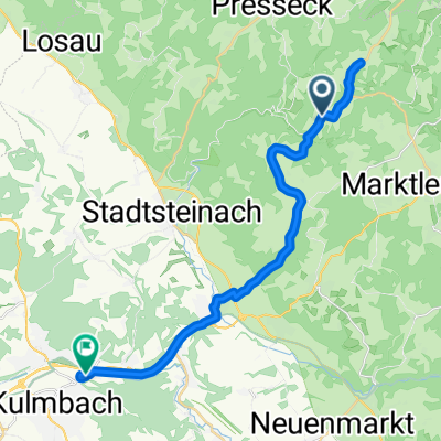
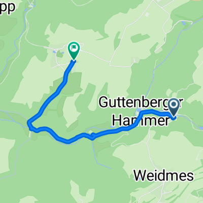
Cycling route in Grafengehaig, Bavaria, Germany
Cycling route in Grafengehaig, Bavaria, Germany
Cycling route in Grafengehaig, Bavaria, Germany