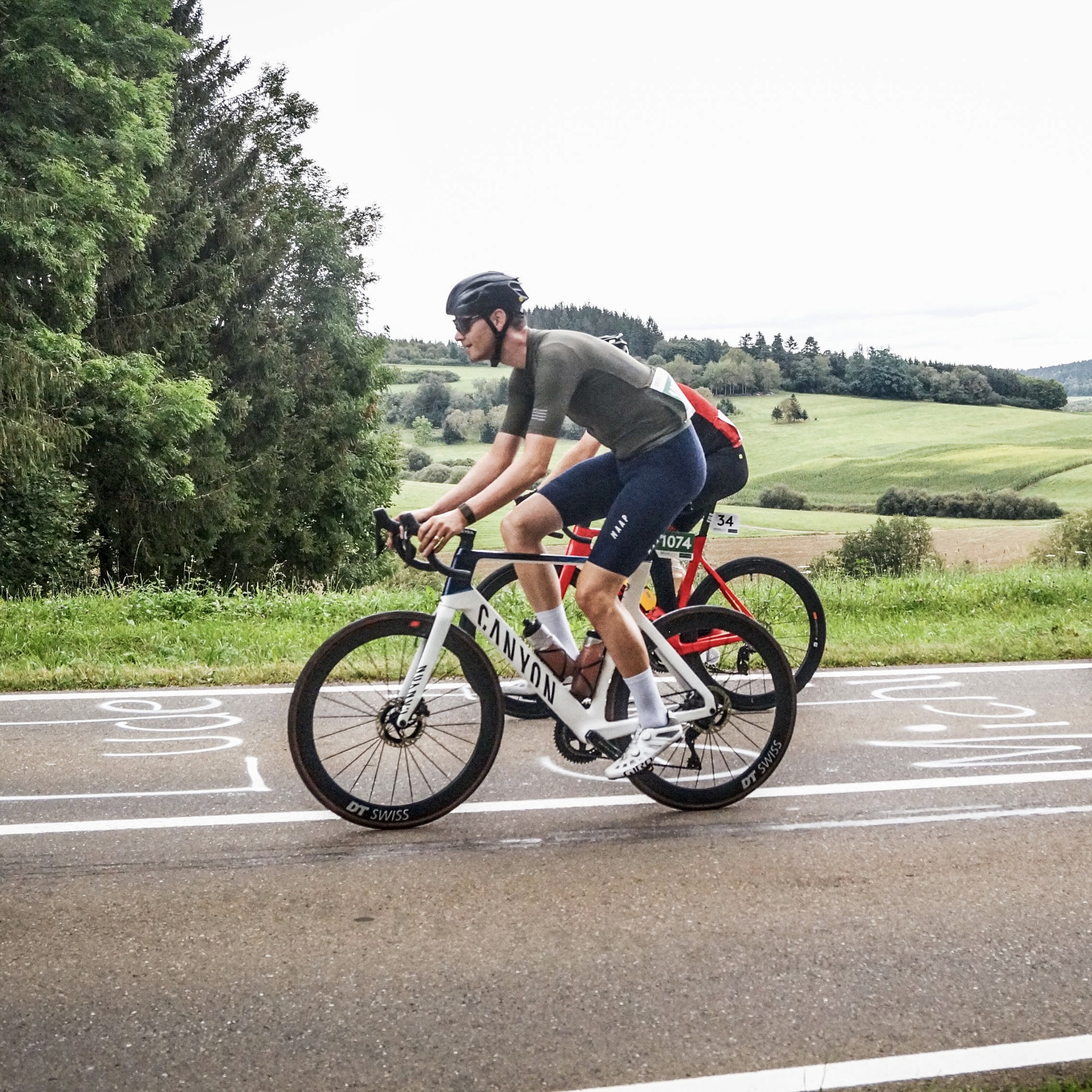
Cycling in Gottmadingen
Discover a map of 272 cycling routes and bike trails near Gottmadingen, created by our community.
Region portrait
Get to know Gottmadingen
Find the right bike route for you through Gottmadingen, where we've got 272 cycle routes to explore. Most people get on their bikes to ride here in the months of April and August.
12,520 km
Tracked distance
272
Cycle routes
10,452
Population
Community
Most active users in Gottmadingen
From our community
The best bike routes in and around Gottmadingen
Variante zum Samstag Nachmittag
Cycling route in Gottmadingen, Baden-Wurttemberg, Germany
- 52.4 km
- Distance
- 332 m
- Ascent
- 332 m
- Descent
20151225_130428.gpx
Cycling route in Gottmadingen, Baden-Wurttemberg, Germany
- 51.3 km
- Distance
- 205 m
- Ascent
- 192 m
- Descent
SlowUp Schaffhausen-Hegau
Cycling route in Gottmadingen, Baden-Wurttemberg, Germany
- 37 km
- Distance
- 348 m
- Ascent
- 324 m
- Descent
Schiener Berg kurz verspeist.
Cycling route in Gottmadingen, Baden-Wurttemberg, Germany
- 72.4 km
- Distance
- 505 m
- Ascent
- 507 m
- Descent
Discover more routes
 Donau Radwanderweg ab Gottmadingen
- Distance
- 115.1 km
- Ascent
- 710 m
- Descent
- 710 m
- Location
- Gottmadingen, Baden-Wurttemberg, Germany
 Bahnhofstraße 1, Gottmadingen nach Bahnhofstraße 1, Gottmadingen
- Distance
- 6 km
- Ascent
- 107 m
- Descent
- 172 m
- Location
- Gottmadingen, Baden-Wurttemberg, Germany
 Bahnhofstraße 1, Gottmadingen nach Kirchstraße 10, Steißlingen
- Distance
- 18.2 km
- Ascent
- 166 m
- Descent
- 134 m
- Location
- Gottmadingen, Baden-Wurttemberg, Germany
 Feierabendrunde 1
- Distance
- 20.6 km
- Ascent
- 111 m
- Descent
- 105 m
- Location
- Gottmadingen, Baden-Wurttemberg, Germany
 Heilsbergtrail
- Distance
- 2.7 km
- Ascent
- 95 m
- Descent
- 113 m
- Location
- Gottmadingen, Baden-Wurttemberg, Germany
 Radolfzeller Aach
- Distance
- 45.3 km
- Ascent
- 452 m
- Descent
- 452 m
- Location
- Gottmadingen, Baden-Wurttemberg, Germany
 Hörirunde1
- Distance
- 61.3 km
- Ascent
- 590 m
- Descent
- 590 m
- Location
- Gottmadingen, Baden-Wurttemberg, Germany
 Gottmadingen-Schlatt(CH)-Stammheim-Gottmadingen
- Distance
- 82.2 km
- Ascent
- 588 m
- Descent
- 585 m
- Location
- Gottmadingen, Baden-Wurttemberg, Germany


