
Cycling in Gollhofen
Discover a map of 17 cycling routes and bike trails near Gollhofen, created by our community.
Region portrait
Get to know Gollhofen
Find the right bike route for you through Gollhofen, where we've got 17 cycle routes to explore.
668 km
Tracked distance
17
Cycle routes
870
Population


From our community
The best bike routes in and around Gollhofen

1982_Altmühltal/Main_T6_Gollhofen_Volkach
Cycling route in Gollhofen, Bavaria, Germany
- 52.2 km
- Distance
- 173 m
- Ascent
- 291 m
- Descent

Dorfstraße 16, Gollhofen nach Lohrweg 5, Gallmersgarten
Cycling route in Gollhofen, Bavaria, Germany
- 20 km
- Distance
- 198 m
- Ascent
- 145 m
- Descent

Gollhofen, der Weg nach Westen (31,9 km)
Cycling route in Gollhofen, Bavaria, Germany
- 32 km
- Distance
- 271 m
- Ascent
- 271 m
- Descent

Gollhofen Radfahren
Cycling route in Gollhofen, Bavaria, Germany
- 22.6 km
- Distance
- 158 m
- Ascent
- 170 m
- Descent
Discover more routes
 Siedlungsstraße 1, Gollhofen nach St2256 21, Uffenheim
- Distance
- 8.2 km
- Ascent
- 83 m
- Descent
- 71 m
- Location
- Gollhofen, Bavaria, Germany
 Gollhofen-Ochsenfurt-Gaubahn-Gollhofen
- Distance
- 51.2 km
- Ascent
- 279 m
- Descent
- 279 m
- Location
- Gollhofen, Bavaria, Germany
 Steigerwald-Panorama-Weg-Tour
- Distance
- 67.7 km
- Ascent
- 571 m
- Descent
- 576 m
- Location
- Gollhofen, Bavaria, Germany
 RR 05/13Südlich um Gollhofen
- Distance
- 95.1 km
- Ascent
- 460 m
- Descent
- 457 m
- Location
- Gollhofen, Bavaria, Germany
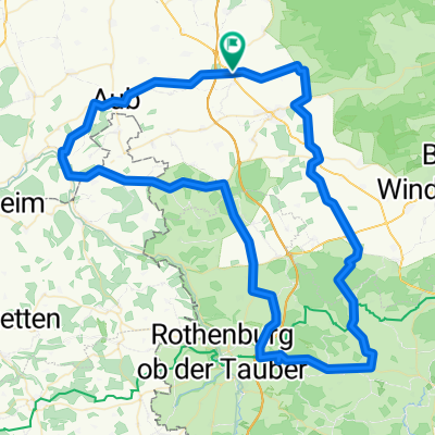
 Gollhofen-Creglingen-Bieberehren-Aub-Gollhofen
- Distance
- 49.6 km
- Ascent
- 326 m
- Descent
- 326 m
- Location
- Gollhofen, Bavaria, Germany
 Gollhofen-Hüttenheim-Seinsheim-Gollhofen
- Distance
- 34.2 km
- Ascent
- 303 m
- Descent
- 303 m
- Location
- Gollhofen, Bavaria, Germany
 4 August 2021
- Distance
- 99.4 km
- Ascent
- 436 m
- Descent
- 524 m
- Location
- Gollhofen, Bavaria, Germany
 B13, Gollhofen nach Industriestraße, Gollhofen
- Distance
- 4.3 km
- Ascent
- 31 m
- Descent
- 26 m
- Location
- Gollhofen, Bavaria, Germany