
Cycling in Franzenheim
Discover a map of 3 cycling routes and bike trails near Franzenheim, created by our community.
Be a pioneer
Inspire fellow cyclists with your route in Franzenheim
Bikemap is a global cycling community with millions of routes created by cyclists like you. There are only a few routes so far in Franzenheim, so plot your favourite rides on the map now to help others find the best ways to ride.
From our community
The best bike routes in and around Franzenheim
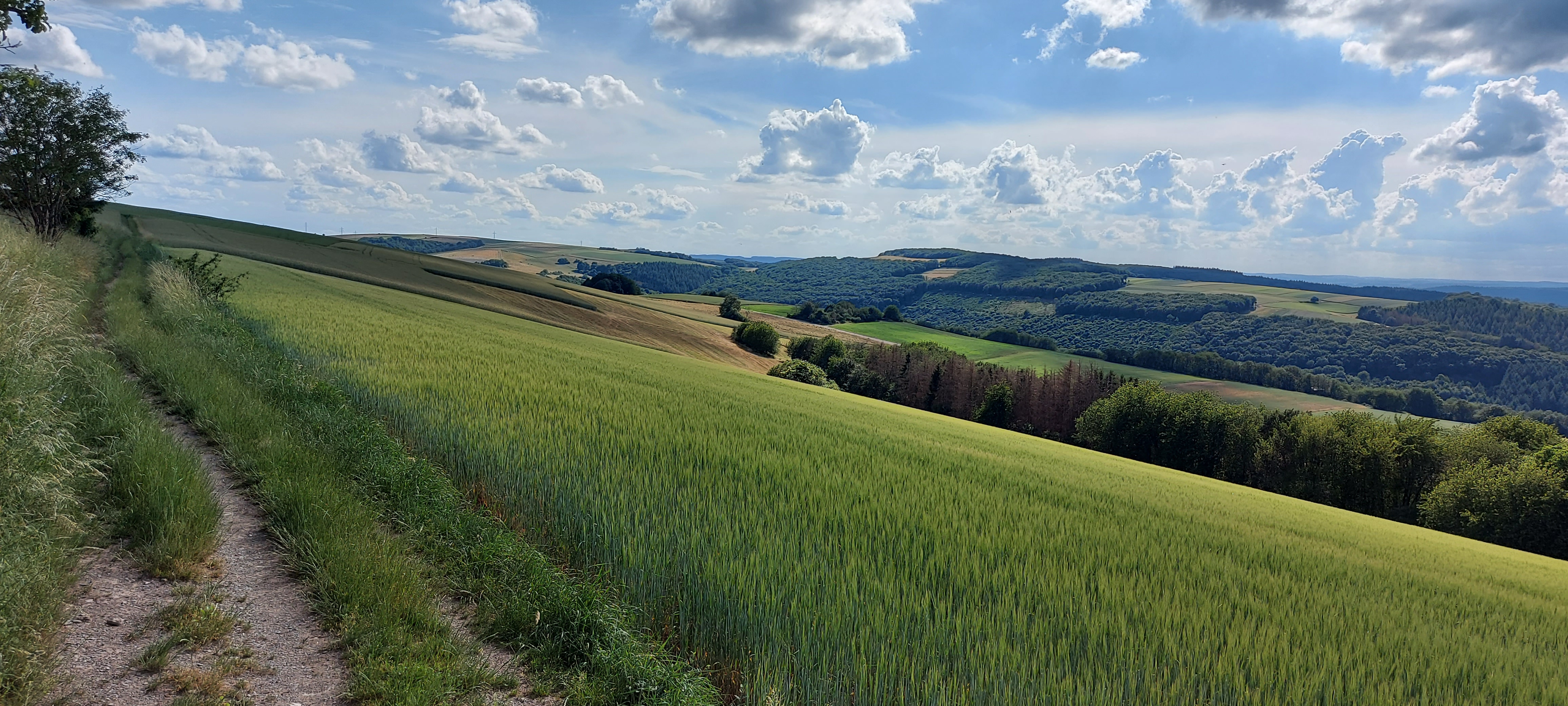


L139, Trier-Saarburg nach Brunnenweg 24, Pluwig
Cycling route in Franzenheim, Rhineland-Palatinate, Germany
- 12 km
- Distance
- 421 m
- Ascent
- 517 m
- Descent

SSS 5 - Ollmuth
Cycling route in Franzenheim, Rhineland-Palatinate, Germany
Terrain Highest Elevation 421 m
Lowest Eleveation 355 m
Difference 66 m
Surface Tarmac100%
- 5.3 km
- Distance
- 143 m
- Ascent
- 134 m
- Descent

Route von Schulstraße 11, Franzenheim
Cycling route in Franzenheim, Rhineland-Palatinate, Germany
- 8.1 km
- Distance
- 255 m
- Ascent
- 177 m
- Descent