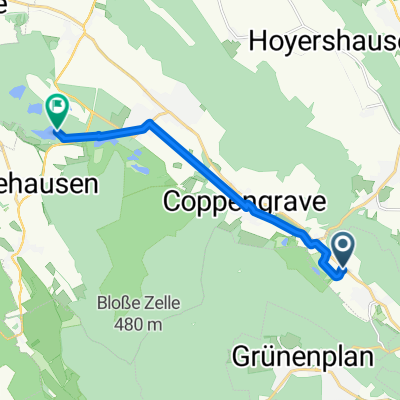
Cycling in Coppengrave
Discover a map of 43 cycling routes and bike trails near Coppengrave, created by our community.
Region portrait
Get to know Coppengrave
Find the right bike route for you through Coppengrave, where we've got 43 cycle routes to explore.
1,439 km
Tracked distance
43
Cycle routes
683
Population
Community
Most active users in Coppengrave
From our community
The best bike routes in and around Coppengrave
Am Englischen Garten 3, Alfeld (Leine) nach Obere Dorfstraße 11, Alfeld (Leine)
Cycling route in Coppengrave, Lower Saxony, Germany
- 28.2 km
- Distance
- 435 m
- Ascent
- 431 m
- Descent
Extersteine 69km Steigungen
Cycling route in Coppengrave, Lower Saxony, Germany
- 68.9 km
- Distance
- 863 m
- Ascent
- 826 m
- Descent
Am Englischen Garten 1, Alfeld (Leine) nach Obere Dorfstraße 11, Alfeld (Leine)
Cycling route in Coppengrave, Lower Saxony, Germany
- 25 km
- Distance
- 152 m
- Ascent
- 151 m
- Descent
Am Englischen Garten 3, Alfeld (Leine) nach Ravenstraße 9, Alfeld (Leine)
Cycling route in Coppengrave, Lower Saxony, Germany
- 7.4 km
- Distance
- 42 m
- Ascent
- 74 m
- Descent
Discover more routes
 ?î?˛? nach ?î?˛?
- Distance
- 7.6 km
- Ascent
- 164 m
- Descent
- 168 m
- Location
- Coppengrave, Lower Saxony, Germany
 Duingen
- Distance
- 8.6 km
- Ascent
- 108 m
- Descent
- 166 m
- Location
- Coppengrave, Lower Saxony, Germany
 Von-Langen-Straße 19, Delligsen nach Rehbeutelweg, Delligsen
- Distance
- 1 km
- Ascent
- 0 m
- Descent
- 63 m
- Location
- Coppengrave, Lower Saxony, Germany
 Hils-Vogler-Rühler Schweiz-Elfas-Hils
- Distance
- 99.8 km
- Ascent
- 1,252 m
- Descent
- 1,259 m
- Location
- Coppengrave, Lower Saxony, Germany
 Brockentour
- Distance
- 93.5 km
- Ascent
- 1,703 m
- Descent
- 677 m
- Location
- Coppengrave, Lower Saxony, Germany
 Glenetalstraße 82, Alfeld (Leine) nach Große Straße 45, Bodenwerder
- Distance
- 29.1 km
- Ascent
- 381 m
- Descent
- 428 m
- Location
- Coppengrave, Lower Saxony, Germany
 Am Steingarten 1, Alfeld (Leine) nach Grohnder Fähre 1, Emmerthal
- Distance
- 59.7 km
- Ascent
- 157 m
- Descent
- 196 m
- Location
- Coppengrave, Lower Saxony, Germany
 Fuhrmannstraße nach 2M36+5M
- Distance
- 8.8 km
- Ascent
- 79 m
- Descent
- 105 m
- Location
- Coppengrave, Lower Saxony, Germany


