Cycling in Berlin
Discover a map of 1,566 cycling routes and bike trails near Berlin, created by our community.
Region portrait
Get to know Berlin
Find the right bike route for you through Berlin, where we've got 1,566 cycle routes to explore. Most people get on their bikes to ride here in the months of May and June.
118,128 km
Tracked distance
1,566
Cycle routes
3.4 million
Population
Community
Most active users in Berlin
Handpicked routes
Discover Berlin through these collections
From our community
The best bike routes in and around Berlin
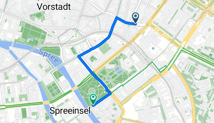
Schwedter Straße, Berlin nach Schwedter Straße, Berlin
Cycling route in Berlin, State of Berlin, Germany
- 42.5 km
- Distance
- 114 m
- Ascent
- 114 m
- Descent
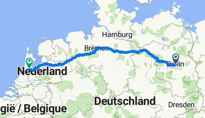
S+U Alexanderplatz Bhf/Memhardstr. to Raadhuisstraat a
Cycling route in Berlin, State of Berlin, Germany
- 739 km
- Distance
- 1,905 m
- Ascent
- 1,940 m
- Descent
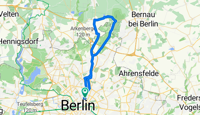
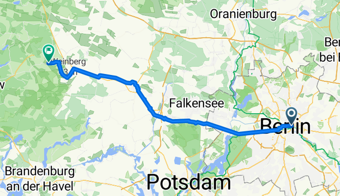
Berlin - Kotzen
Cycling route in Berlin, State of Berlin, Germany
- 70.8 km
- Distance
- 242 m
- Ascent
- 258 m
- Descent
From our editors
Top cycle routes in and around Berlin

Historical bicycle tour
Berlin Wall path
For more than 28 years, the Berlin Wall divided east and west Berlin. Today, you can cycle along the former borderline and take in exciting historical facts on the way. This unique cycle route circles the old city of Berlin over a distance of 160 kilometers (100 miles). 14 easy stages lead from Potsdamer Platz via Friedrichshain and Wannsee to Berlin-Mitte.
Featured routes around the Berlin Wall Path
- Berliner Mauerradweg

- Distance
- 164.7 km
- Ascent
- 112 m
- Descent
- 115 m
- Location
- Tiergarten, State of Berlin, Germany
- Südoldenburger Radmarathon (RTF Lohne)

- Distance
- 201.9 km
- Ascent
- 345 m
- Descent
- 355 m
- Location
- Lohne, Lower Saxony, Germany

By the water
Havel cycle path
The River Havel originates in Mecklenburg-Western Pomerania and flows towards Berlin. Many cyclists follow the course of the river to reach the German capital. But the vibrant city of Berlin is not the only attraction on the way. In Potsdam, you can visit Babelsberg Palace and Sanssouci, the former summer residence of Frederick, King of Prussia. And at the point where the River Havel and the River Elbe meet, the Hanseatic city of Havelberg awaits.
Featured routes around the Havel
- Norderstedt-Gnevsdorf (Havel-Radweg)

- Distance
- 354.9 km
- Ascent
- 139 m
- Descent
- 127 m
- Location
- Norderstedt, Schleswig-Holstein, Germany
- Berlin-Liebenwerder-Wandlitz-Berlin


- Distance
- 95.5 km
- Ascent
- 164 m
- Descent
- 164 m
- Location
- Falkenberg, State of Berlin, Germany
- Berlin - Ketzin / Fähre-Havel - Berlin


- Distance
- 115.1 km
- Ascent
- 172 m
- Descent
- 171 m
- Location
- Prenzlauer Berg, State of Berlin, Germany

Sightseeing by bike
Berlin City
The TV tower at Alexanderplatz is the starting point for a perfect cycle tour of the city of Berlin. To take in all the important sights, head towards the Museum Island, the Holocaust memorial and Checkpoint Charlie. Alternatively, cycle through the government quarter and visit the State Opera and Humboldt University.
Featured routes in Berlin City Center
- Museums-Insel - Panke - Malchow - Kita


- Distance
- 30.7 km
- Ascent
- 61 m
- Descent
- 59 m
- Location
- Mitte, State of Berlin, Germany
- Critical Mass Berlin 11-2015

- Distance
- 27.9 km
- Ascent
- 50 m
- Descent
- 55 m
- Location
- Kreuzberg, State of Berlin, Germany

Colorful Berlin and surroundings
Explore: Kreuzberg, Wannsee, Potsdam
Kreuzberg is known as one of the most colorful neighborhoods in Berlin. To best explore this diverse area, look out for routes through parks and by the water – not only the River Spree but also the Landwehr canal offer up some wonderful cycle paths.
Featured routes around Kreuzberg and Wannsee

South of Berlin
Spree Cycle Path
South of Berlin, the Spree cycle path covers a distance of 404 kilometers (251 miles). While this is largely a flat area, there are some hills, lakes and rivers to be found. Via Cottbus, the route leads to the three Spree sources in Upper Lusatia in Saxony. Spremberg dam presents a great opportunity to cool off with a swim on the way.
Featured routes around the Spree Cycle Path
- Von der Spreequelle bis Berlin

- Distance
- 261.8 km
- Ascent
- 504 m
- Descent
- 136 m
- Location
- Tegel, State of Berlin, Germany
- Spreeradweg (Spreetal - Berlin)

- Distance
- 250.8 km
- Ascent
- 145 m
- Descent
- 72 m
- Location
- Erkner, Brandenburg, Germany
Discover more routes
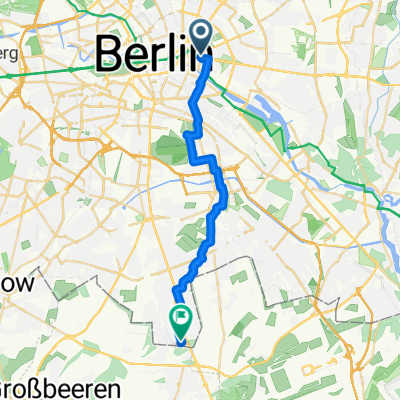 Bundesstraße nach Seydlitzstraße
- Distance
- 21.2 km
- Ascent
- 76 m
- Descent
- 68 m
- Location
- Berlin, State of Berlin, Germany
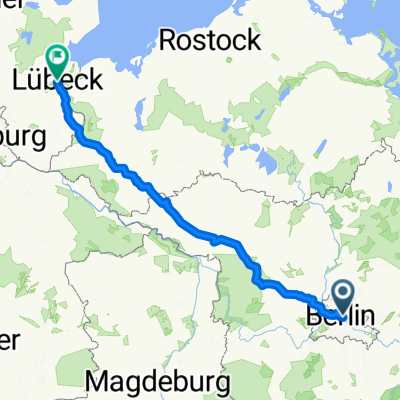 Ellenbrook 21, Lübeck
- Distance
- 288 km
- Ascent
- 885 m
- Descent
- 918 m
- Location
- Berlin, State of Berlin, Germany
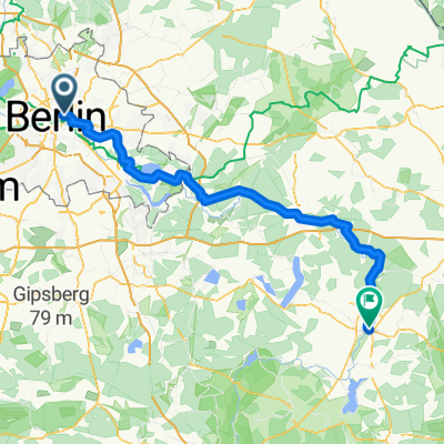 Boootshaus Beeskow
- Distance
- 101.2 km
- Ascent
- 316 m
- Descent
- 314 m
- Location
- Berlin, State of Berlin, Germany
 S+U Alexanderplatz Bhf/Memhardstr. nach Dominicusstraße
- Distance
- 8.7 km
- Ascent
- 63 m
- Descent
- 72 m
- Location
- Berlin, State of Berlin, Germany
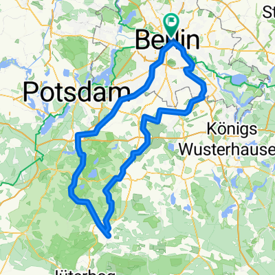 Luckenwalde
- Distance
- 156.9 km
- Ascent
- 561 m
- Descent
- 561 m
- Location
- Berlin, State of Berlin, Germany
 Mitte - Liepnitzsee
- Distance
- 29.6 km
- Ascent
- 91 m
- Descent
- 68 m
- Location
- Berlin, State of Berlin, Germany
 9. Etappe - Berlin to Cottbus - Sunday 6th May
- Distance
- 160.1 km
- Ascent
- 215 m
- Descent
- 196 m
- Location
- Berlin, State of Berlin, Germany
 bici_berlino_copenaghen_zeppelin_2012
- Distance
- 1,109.1 km
- Ascent
- 1,000 m
- Descent
- 1,025 m
- Location
- Berlin, State of Berlin, Germany
Routes from Berlin
By bicycle from
Berlin to Mitte
By bicycle from
Berlin to Prenzlauer Berg
Routes to Berlin
By bicycle from
Friedrichshain to Berlin
By bicycle from
Mitte to Berlin


