
Cycling in Berg
Discover a map of 149 cycling routes and bike trails near Berg, created by our community.
Region portrait
Get to know Berg
Find the right bike route for you through Berg, where we've got 149 cycle routes to explore. Most people get on their bikes to ride here in the months of July and August.
10,340 km
Tracked distance
149
Cycle routes
2,104
Population
Community
Most active users in Berg


Handpicked routes
Discover Berg through these collections
Tour
Tour
From our community
The best bike routes in and around Berg

Rheinweg Lauterbourg - Strasbourg CLONED FROM ROUTE 591189
Cycling route in Berg, Rhineland-Palatinate, Germany
Von Lauterbourg nach Strabourg mit dem Fahrrad. Zurück mit dem Zug.
- 66.4 km
- Distance
- 81 m
- Ascent
- 50 m
- Descent

Lautertal zur Dicken Eiche
Cycling route in Berg, Rhineland-Palatinate, Germany
Lautertaltour ab Berg zur "Dicken Eiche" nach Hauenstein.
Familientauglich, nur ca. 2,5 km Anstieg zur PWV-Hütte eventuell schieben.
Übernachtungsmöglichkeit!
Rückweg über Hauenstein und Queichtalweg, siehe Queichta-12_Dicke-Eiche--Bellheim
- 56 km
- Distance
- 456 m
- Ascent
- 158 m
- Descent

Bienwald-Hüttenrunde
Cycling route in Berg, Rhineland-Palatinate, Germany
- 40.1 km
- Distance
- 130 m
- Ascent
- 130 m
- Descent

Von Lauterbourg bis Weißenburg
Cycling route in Berg, Rhineland-Palatinate, Germany
- 21.2 km
- Distance
- 74 m
- Ascent
- 27 m
- Descent
Discover more routes
 Lauterbourg - Weißenburg
- Distance
- 23.8 km
- Ascent
- 71 m
- Descent
- 27 m
- Location
- Berg, Rhineland-Palatinate, Germany
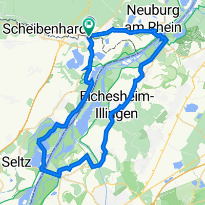
 Rheinweg Scheibenhardt-Kehl
- Distance
- 63.5 km
- Ascent
- 78 m
- Descent
- 54 m
- Location
- Berg, Rhineland-Palatinate, Germany
 Neulauterburg-Winden-Kandel-Wörth-Neulauterburg
- Distance
- 44.2 km
- Ascent
- 102 m
- Descent
- 100 m
- Location
- Berg, Rhineland-Palatinate, Germany
 Bienwaldrunde über Büchelberg
- Distance
- 22 km
- Ascent
- 73 m
- Descent
- 71 m
- Location
- Berg, Rhineland-Palatinate, Germany
 boucle amiez gare Lauterbourg à Karlsruhe
- Distance
- 48.3 km
- Ascent
- 195 m
- Descent
- 194 m
- Location
- Berg, Rhineland-Palatinate, Germany
 boucle neulauterbourg + ferries
- Distance
- 38.4 km
- Ascent
- 75 m
- Descent
- 78 m
- Location
- Berg, Rhineland-Palatinate, Germany
 Pfalz 3
- Distance
- 87.1 km
- Ascent
- 572 m
- Descent
- 503 m
- Location
- Berg, Rhineland-Palatinate, Germany
 Schleital-Steinfeld-Hirschbrunnen
- Distance
- 37.4 km
- Ascent
- 80 m
- Descent
- 79 m
- Location
- Berg, Rhineland-Palatinate, Germany