
Cycling in Bad Liebenwerda
Discover a map of 183 cycling routes and bike trails near Bad Liebenwerda, created by our community.
Region portrait
Get to know Bad Liebenwerda
Find the right bike route for you through Bad Liebenwerda, where we've got 183 cycle routes to explore. Most people get on their bikes to ride here in the months of May and June.
10,466 km
Tracked distance
183
Cycle routes
10,890
Population
Community
Most active users in Bad Liebenwerda


From our community
The best bike routes in and around Bad Liebenwerda

25 Jahre SUN-SPORT-TEAM - die lange Luther-Tour
Cycling route in Bad Liebenwerda, Brandenburg, Germany
- 262.3 km
- Distance
- 168 m
- Ascent
- 170 m
- Descent

25 Jahre SUN-SPORT-TEAM die Kurze
Cycling route in Bad Liebenwerda, Brandenburg, Germany
- 156.3 km
- Distance
- 166 m
- Ascent
- 165 m
- Descent

Von Bad Liebenwerda nach Forst
Cycling route in Bad Liebenwerda, Brandenburg, Germany
- 115 km
- Distance
- 188 m
- Ascent
- 200 m
- Descent

Herrentagstour 2017 Tag 3.Samstag, 27.05. 17: Senftenberg - Bad - Liebenwerda
Cycling route in Bad Liebenwerda, Brandenburg, Germany
- 53 km
- Distance
- 174 m
- Ascent
- 159 m
- Descent
Discover more routes
 Day 3
Day 3- Distance
- 144.7 km
- Ascent
- 253 m
- Descent
- 313 m
- Location
- Bad Liebenwerda, Brandenburg, Germany
 Wasser, Wald und Wackerstein
- Distance
- 36.3 km
- Ascent
- 116 m
- Descent
- 116 m
- Location
- Bad Liebenwerda, Brandenburg, Germany
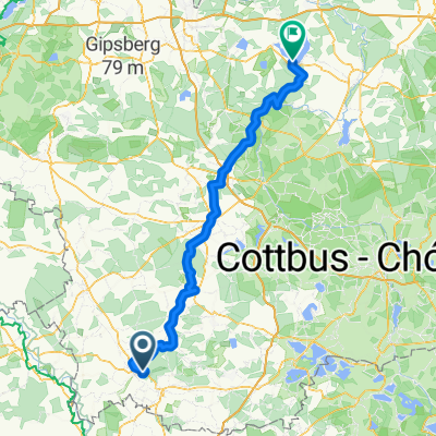
 2.Tag, Bad Liebenwerda- Cottbus
- Distance
- 103.8 km
- Ascent
- 214 m
- Descent
- 223 m
- Location
- Bad Liebenwerda, Brandenburg, Germany
 50Km Liebenwerda Doberlugk Tröbitz, Rundfahrt
- Distance
- 50 km
- Ascent
- 142 m
- Descent
- 143 m
- Location
- Bad Liebenwerda, Brandenburg, Germany
 Landschaft von Menschenhand
- Distance
- 35.3 km
- Ascent
- 99 m
- Descent
- 99 m
- Location
- Bad Liebenwerda, Brandenburg, Germany
 Chemnitz-Usedom; 2.Etappe
- Distance
- 126.9 km
- Ascent
- 149 m
- Descent
- 203 m
- Location
- Bad Liebenwerda, Brandenburg, Germany
 Auf den Spuren der Mönche von Dobrilugk
- Distance
- 107.4 km
- Ascent
- 143 m
- Descent
- 145 m
- Location
- Bad Liebenwerda, Brandenburg, Germany
 11.05.2013 Naturparktour
- Distance
- 69.8 km
- Ascent
- 193 m
- Descent
- 195 m
- Location
- Bad Liebenwerda, Brandenburg, Germany