
Cycling in Villé
Discover a map of 145 cycling routes and bike trails near Villé, created by our community.
Region portrait
Get to know Villé
Find the right bike route for you through Villé, where we've got 145 cycle routes to explore. Most people get on their bikes to ride here in the months of May and June.
7,815 km
Tracked distance
145
Cycle routes
1,685
Population


From our community
The best bike routes in and around Villé

1-balade des 5 chaumes
Cycling route in Villé, Grand Est, France
- 34.3 km
- Distance
- 773 m
- Ascent
- 773 m
- Descent

20190525_hwh-ungersberg-hungerplatz-welschbruch-cdf-hwh_40km-1080hm
Cycling route in Villé, Grand Est, France
- 40 km
- Distance
- 1,042 m
- Ascent
- 1,041 m
- Descent

Steinschloss - Champ du feu 25.5.19
Cycling route in Villé, Grand Est, France
- 33.8 km
- Distance
- 576 m
- Ascent
- 574 m
- Descent

Discover more routes
 Vogesen 1
- Distance
- 79.5 km
- Ascent
- 1,555 m
- Descent
- 1,512 m
- Location
- Villé, Grand Est, France
 3_Charbo-Col de la Perheux -Champ du Feu
- Distance
- 25.2 km
- Ascent
- 683 m
- Descent
- 683 m
- Location
- Villé, Grand Est, France
 essi3
essi3- Distance
- 19 km
- Ascent
- 590 m
- Descent
- 611 m
- Location
- Villé, Grand Est, France
 TP 20160912 VAR2 VILLE
- Distance
- 49.1 km
- Ascent
- 1,501 m
- Descent
- 1,510 m
- Location
- Villé, Grand Est, France
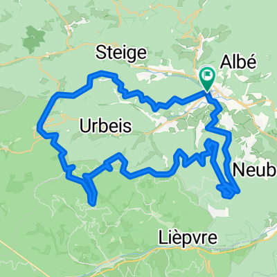
 Tour Triembach über Col de Urbeis und Col de Steige
- Distance
- 34 km
- Ascent
- 678 m
- Descent
- 676 m
- Location
- Villé, Grand Est, France
 Hohwaldhütte Steinschloss
- Distance
- 19.6 km
- Ascent
- 600 m
- Descent
- 600 m
- Location
- Villé, Grand Est, France
 20190525_hwh-rothlach-kienberg-hungerplatz-welschbruch-lhw-hwh_34km-920hm
- Distance
- 34.1 km
- Ascent
- 888 m
- Descent
- 891 m
- Location
- Villé, Grand Est, France
 20190525_hwh-climont_38km_1190hm
- Distance
- 37.5 km
- Ascent
- 1,173 m
- Descent
- 1,162 m
- Location
- Villé, Grand Est, France