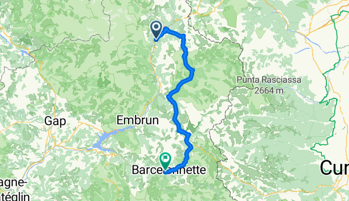
- 54.8 km
- 1,949 m
- 2,523 m
- Villar-Saint-Pancrace, Provence-Alpes-Côte d'Azur Region, France

Cycling in Villar-Saint-Pancrace
Discover a map of 175 cycling routes and bike trails near Villar-Saint-Pancrace, created by our community.
Region portrait
Get to know Villar-Saint-Pancrace
Find the right bike route for you through Villar-Saint-Pancrace, where we've got 175 cycle routes to explore. Most people get on their bikes to ride here in the months of June and July.
17,273 km
Tracked distance
175
Cycle routes
1,528
Population
Community
Most active users in Villar-Saint-Pancrace
Handpicked routes
Discover Villar-Saint-Pancrace through these collections
From our community
The best bike routes in and around Villar-Saint-Pancrace
alpen2015-tag2
Cycling route in Villar-Saint-Pancrace, Provence-Alpes-Côte d'Azur Region, France
- 44.2 km
- Distance
- 1,232 m
- Ascent
- 1,701 m
- Descent
alpen2015-tag2+3
Cycling route in Villar-Saint-Pancrace, Provence-Alpes-Côte d'Azur Region, France
- 190.9 km
- Distance
- 3,092 m
- Ascent
- 4,533 m
- Descent
Briançon - Lago di Malciaussia
Cycling route in Villar-Saint-Pancrace, Provence-Alpes-Côte d'Azur Region, France
- 194.1 km
- Distance
- 4,100 m
- Ascent
- 3,531 m
- Descent
Grandes Alpes_Kudrna_Etapa5
Cycling route in Villar-Saint-Pancrace, Provence-Alpes-Côte d'Azur Region, France
- 108 km
- Distance
- 2,357 m
- Ascent
- 2,378 m
- Descent
Discover more routes
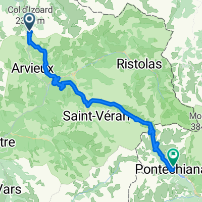
- 0816-Napo-Pontechi
- Isoardovskej okruh
- 85.2 km
- 1,604 m
- 1,601 m
- Villar-Saint-Pancrace, Provence-Alpes-Côte d'Azur Region, France
- Col de Izoard vedlajsi
- 93 km
- 1,764 m
- 1,766 m
- Villar-Saint-Pancrace, Provence-Alpes-Côte d'Azur Region, France
- Camping Prelles naar Fort Briancon.
- 28 km
- 856 m
- 854 m
- Villar-Saint-Pancrace, Provence-Alpes-Côte d'Azur Region, France
- Achter de camping Prelles.
- 16.6 km
- 510 m
- 509 m
- Villar-Saint-Pancrace, Provence-Alpes-Côte d'Azur Region, France
- Col Montgenevre vanaf Prelles
- 38.7 km
- 707 m
- 706 m
- Villar-Saint-Pancrace, Provence-Alpes-Côte d'Azur Region, France
- Camping Prelles naar Fort Briancon.
- 28 km
- 830 m
- 829 m
- Villar-Saint-Pancrace, Provence-Alpes-Côte d'Azur Region, France
- Col D Izoard vanaf Briancon
- 51 km
- 1,230 m
- 1,230 m
- Villar-Saint-Pancrace, Provence-Alpes-Côte d'Azur Region, France
Routes to Villar-Saint-Pancrace
Cycling day trip from
Guillestre to Villar-Saint-Pancrace
By bicycle from
Briançon to Villar-Saint-Pancrace


