
Cycling in Vaudry
Discover a map of 19 cycling routes and bike trails near Vaudry, created by our community.
Region portrait
Get to know Vaudry
Find the right bike route for you through Vaudry, where we've got 19 cycle routes to explore.
1,100 km
Tracked distance
19
Cycle routes
1,559
Population
Community
Most active users in Vaudry
From our community
The best bike routes in and around Vaudry
Itinéraire modéré en Saint-Manvieu-Bocage
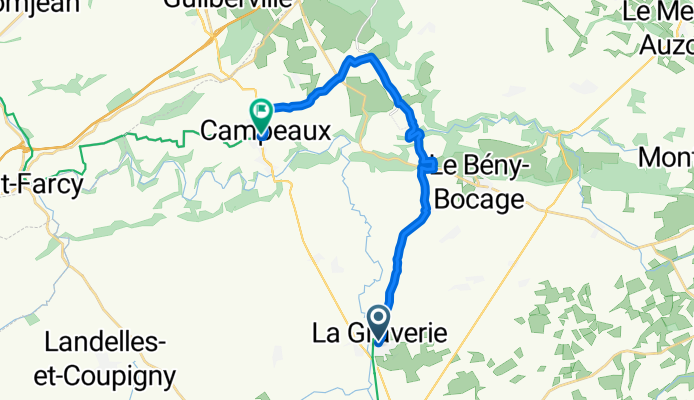
Cycling route in Vaudry, Normandy, France
- 19 km
- Distance
- 171 m
- Ascent
- 221 m
- Descent
Discover more routes
- Day 5
- Distance
- 62.8 km
- Ascent
- 286 m
- Descent
- 354 m
- Location
- Vaudry, Normandy, France
- Day 4 Camp Vire to Ducey
- Distance
- 76.2 km
- Ascent
- 371 m
- Descent
- 495 m
- Location
- Vaudry, Normandy, France
- Route de la Galonnière 115, Vire-Normandie to Chemin de la Cambette 4, Bayeux
- Distance
- 69.5 km
- Ascent
- 1,033 m
- Descent
- 1,161 m
- Location
- Vaudry, Normandy, France
- Domfort
- Distance
- 50.2 km
- Ascent
- 627 m
- Descent
- 567 m
- Location
- Vaudry, Normandy, France
- De 115 La Lauvière, Vire à 105 Rue de la République, Saint-Hilaire-du-Harcouët
- Distance
- 50.7 km
- Ascent
- 539 m
- Descent
- 600 m
- Location
- Vaudry, Normandy, France
- Route de la Galonnière 115, Vire-Normandie to Impasse Prudhomme 1, Bayeux
- Distance
- 63.8 km
- Ascent
- 652 m
- Descent
- 730 m
- Location
- Vaudry, Normandy, France
- Rue de la Touyonne, Vire Normandie à Rue de la Touyonne, Vire Normandie
- Distance
- 6.8 km
- Ascent
- 98 m
- Descent
- 96 m
- Location
- Vaudry, Normandy, France
- normandy day 5 long
- Distance
- 78.4 km
- Ascent
- 395 m
- Descent
- 460 m
- Location
- Vaudry, Normandy, France