
Cycling in Ugine
Discover a map of 110 cycling routes and bike trails near Ugine, created by our community.
Region portrait
Get to know Ugine
Find the right bike route for you through Ugine, where we've got 110 cycle routes to explore. Most people get on their bikes to ride here in the months of July and August.
7,430 km
Tracked distance
110
Cycle routes
7,703
Population


From our community
The best bike routes in and around Ugine

Col de l'Arpettaz
Cycling route in Ugine, Auvergne-Rhône-Alpes, France
- 35.9 km
- Distance
- 1,203 m
- Ascent
- 1,203 m
- Descent

Arpettaz-Saisies-Forclaz
Cycling route in Ugine, Auvergne-Rhône-Alpes, France
- 84.7 km
- Distance
- 2,377 m
- Ascent
- 2,385 m
- Descent

Cycling the Alps Signal de Bisanne (1930m)
Cycling route in Ugine, Auvergne-Rhône-Alpes, France
- 24.7 km
- Distance
- 962 m
- Ascent
- 1,231 m
- Descent

Westalpen Etappe 01 - Ugine
Cycling route in Ugine, Auvergne-Rhône-Alpes, France
- 131.8 km
- Distance
- 2,299 m
- Ascent
- 2,290 m
- Descent
Discover more routes
 5 cols from Ugine
- Distance
- 79.5 km
- Ascent
- 1,893 m
- Descent
- 1,893 m
- Location
- Ugine, Auvergne-Rhône-Alpes, France
 Annecy 4; Ugine
- Distance
- 85.2 km
- Ascent
- 2,411 m
- Descent
- 2,396 m
- Location
- Ugine, Auvergne-Rhône-Alpes, France
 Ugine - Le Giettaz 56km
- Distance
- 55 km
- Ascent
- 2,175 m
- Descent
- 2,175 m
- Location
- Ugine, Auvergne-Rhône-Alpes, France
 Col Aperttaz via Ugine
- Distance
- 16.3 km
- Ascent
- 1,272 m
- Descent
- 114 m
- Location
- Ugine, Auvergne-Rhône-Alpes, France
 La Vilette - Col de Arpetaz 45 KM schwer
- Distance
- 42.5 km
- Ascent
- 1,691 m
- Descent
- 1,700 m
- Location
- Ugine, Auvergne-Rhône-Alpes, France
 Ugine - Aviernoz
- Distance
- 88.4 km
- Ascent
- 2,011 m
- Descent
- 1,651 m
- Location
- Ugine, Auvergne-Rhône-Alpes, France
 Col de Larpettaz vanuit Ugine
- Distance
- 35.4 km
- Ascent
- 1,189 m
- Descent
- 1,181 m
- Location
- Ugine, Auvergne-Rhône-Alpes, France
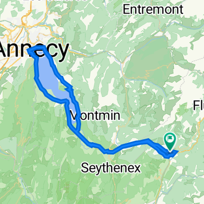 test_tout_du_lac_Annecy_1023
- Distance
- 77.9 km
- Ascent
- 613 m
- Descent
- 614 m
- Location
- Ugine, Auvergne-Rhône-Alpes, France