
Cycling in Schirmeck
Discover a map of 69 cycling routes and bike trails near Schirmeck, created by our community.
Region portrait
Get to know Schirmeck
Find the right bike route for you through Schirmeck, where we've got 69 cycle routes to explore. Most people get on their bikes to ride here in the months of July and August.
4,687 km
Tracked distance
69
Cycle routes
2,334
Population
Community
Most active users in Schirmeck


From our community
The best bike routes in and around Schirmeck

Col Donon-Obernai
Cycling route in Schirmeck, Grand Est, France
Čím více zde napíšete informací, tím více bude užitečnější pro ostatním uživatele.<br />
<br />
* Průběh trasy.<br />
* Co je zvláštní na této trase?<br />
* Proč doporučit tuto trasu?<br />
* Co se Vám zde nejvíce líbilo?<br />
* Atd.
- 51.7 km
- Distance
- 210 m
- Ascent
- 957 m
- Descent

Schirmeck
Cycling route in Schirmeck, Grand Est, France
Herrliche Tour in den Vogesen. Sehr wenig Verkehr. Die Steigung zum Champ du Feu ist gleichmäßig und gut zu fahren.Guter Belag.
- 103.7 km
- Distance
- 1,469 m
- Ascent
- 1,590 m
- Descent

Une Rose Un Espoir, samedi 26 avril 2014
Cycling route in Schirmeck, Grand Est, France
Découvrez en avant première les villages traversés en 2014. Il s'agit du visuel regroupant le circuits parcourus par l'ensemble des groupes et non d'un tracé chronologique.
- 138.4 km
- Distance
- 1,855 m
- Ascent
- 1,851 m
- Descent

7-Schirmeck - Colmar
Cycling route in Schirmeck, Grand Est, France
- 82.2 km
- Distance
- 986 m
- Ascent
- 1,103 m
- Descent
Discover more routes
 DONON, por Schirmeck
- Distance
- 9.3 km
- Ascent
- 436 m
- Descent
- 22 m
- Location
- Schirmeck, Grand Est, France
 Sommerurlaub 2010 Etappe 3
- Distance
- 84.1 km
- Ascent
- 498 m
- Descent
- 667 m
- Location
- Schirmeck, Grand Est, France
 Tour Haute vallée de la Bruche
- Distance
- 70.3 km
- Ascent
- 1,218 m
- Descent
- 1,185 m
- Location
- Schirmeck, Grand Est, France
 D2420 181, Schirmeck naar D261 54, La Broque
- Distance
- 70.3 km
- Ascent
- 35 m
- Descent
- 34 m
- Location
- Schirmeck, Grand Est, France
 Sortie Donon et petites routes forestières
- Distance
- 120.2 km
- Ascent
- 2,622 m
- Descent
- 2,622 m
- Location
- Schirmeck, Grand Est, France
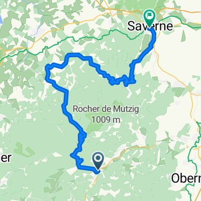 Schirmeck - Col de Donon - Saverne
- Distance
- 83.9 km
- Ascent
- 1,072 m
- Descent
- 1,172 m
- Location
- Schirmeck, Grand Est, France
 20170721_155745.gpx
- Distance
- 6.4 km
- Ascent
- 123 m
- Descent
- 306 m
- Location
- Schirmeck, Grand Est, France
 MTB-Donon-55km
- Distance
- 54.4 km
- Ascent
- 1,878 m
- Descent
- 2,146 m
- Location
- Schirmeck, Grand Est, France