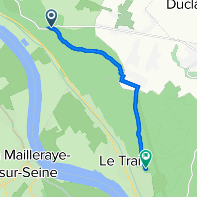
Route forestière vers le Trait
- 5.8 km
- 50 m
- 47 m
- Saint-Wandrille-Rançon, Normandy, France

Discover a map of 11 cycling routes and bike trails near Saint-Wandrille-Rançon, created by our community.
Region portrait
Find the right bike route for you through Saint-Wandrille-Rançon, where we've got 11 cycle routes to explore.
600 km
Tracked distance
11
Cycle routes
1,194
Population
Community
From our community
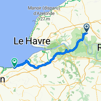
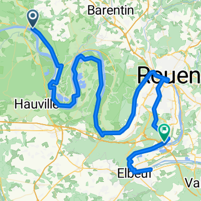
Cycling route in Saint-Wandrille-Rançon, Normandy, France
Cycling route in Saint-Wandrille-Rançon, Normandy, France
Cycling route in Saint-Wandrille-Rançon, Normandy, France
Cycling route in Saint-Wandrille-Rançon, Normandy, France