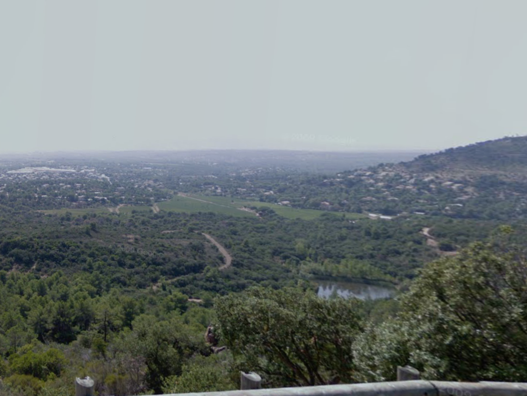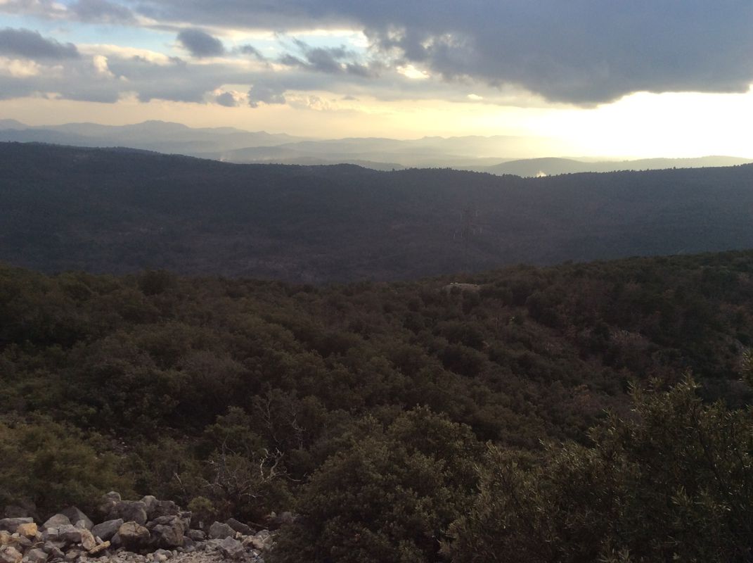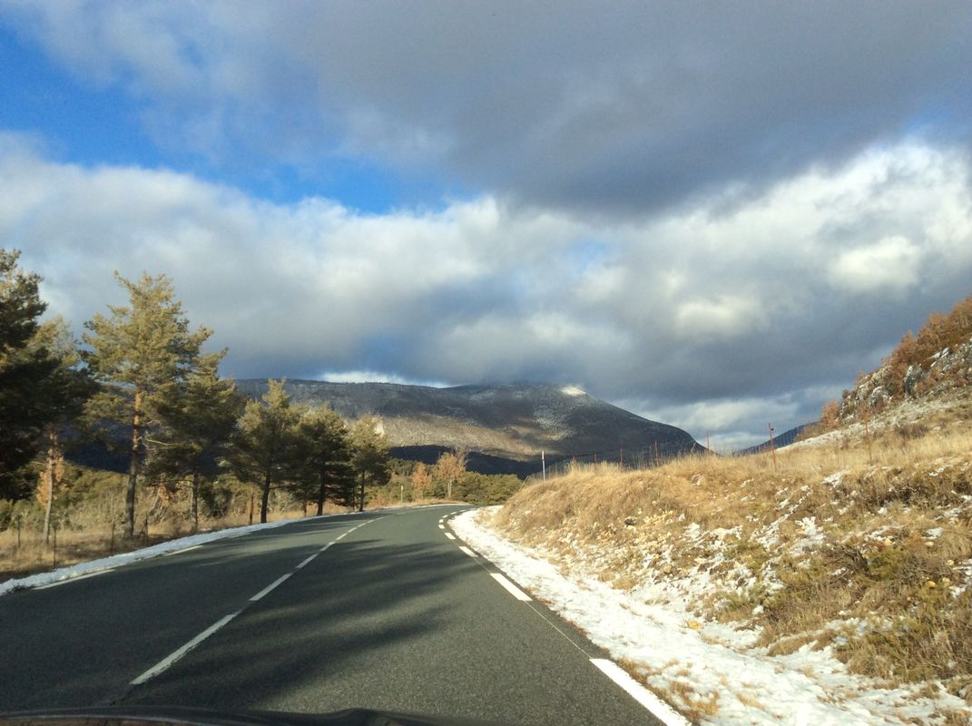
Cycling in Saint-Paul-en-Forêt
Discover a map of 50 cycling routes and bike trails near Saint-Paul-en-Forêt, created by our community.
Region portrait
Get to know Saint-Paul-en-Forêt
Find the right bike route for you through Saint-Paul-en-Forêt, where we've got 50 cycle routes to explore. Most people get on their bikes to ride here in the month of August.
1,977 km
Tracked distance
50
Cycle routes
1,232
Population
Community
Most active users in Saint-Paul-en-Forêt
From our community
The best bike routes in and around Saint-Paul-en-Forêt
100km - Tour de l'Estérel
Cycling route in Saint-Paul-en-Forêt, Provence-Alpes-Côte d'Azur Region, France
- 100.8 km
- Distance
- 754 m
- Ascent
- 754 m
- Descent
48km - Les chênes-lièges et les vignobles
Cycling route in Saint-Paul-en-Forêt, Provence-Alpes-Côte d'Azur Region, France
- 48.4 km
- Distance
- 599 m
- Ascent
- 599 m
- Descent
J6C RC2MIPIM 2018
Cycling route in Saint-Paul-en-Forêt, Provence-Alpes-Côte d'Azur Region, France
- 42.5 km
- Distance
- 348 m
- Ascent
- 643 m
- Descent
102km - Assaut sur Lachens
Cycling route in Saint-Paul-en-Forêt, Provence-Alpes-Côte d'Azur Region, France
- 102.8 km
- Distance
- 1,950 m
- Ascent
- 1,950 m
- Descent
Discover more routes
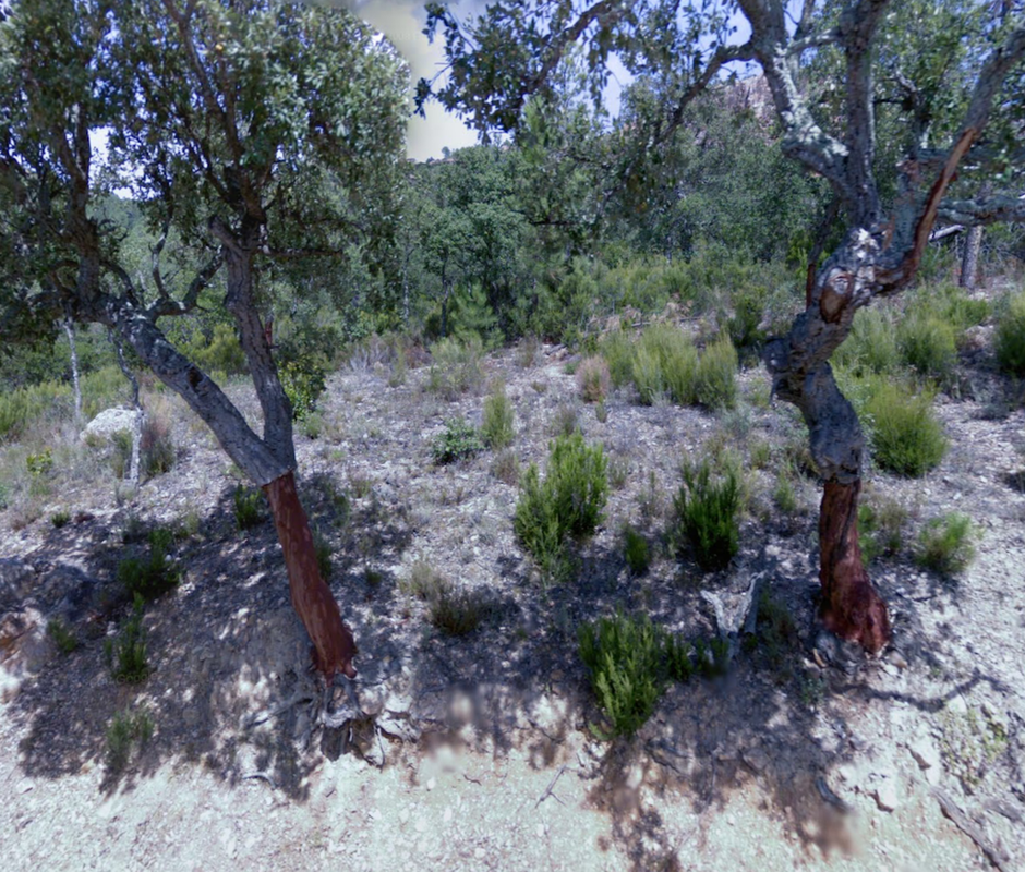
 Ballade dans les chênes lièges avec Chouquette ❤️
- Distance
- 24.7 km
- Ascent
- 360 m
- Descent
- 358 m
- Location
- Saint-Paul-en-Forêt, Provence-Alpes-Côte d'Azur Region, France
 Cycling the Alps Côte du Mont Meaulx (280m)
- Distance
- 5.4 km
- Ascent
- 181 m
- Descent
- 135 m
- Location
- Saint-Paul-en-Forêt, Provence-Alpes-Côte d'Azur Region, France
 The Geraint Thomas Memorial Ride to Mont Ventoux
- Distance
- 201.4 km
- Ascent
- 0 m
- Descent
- 0 m
- Location
- Saint-Paul-en-Forêt, Provence-Alpes-Côte d'Azur Region, France
 2016 St Paul prove
- Distance
- 14.5 km
- Ascent
- 221 m
- Descent
- 221 m
- Location
- Saint-Paul-en-Forêt, Provence-Alpes-Côte d'Azur Region, France
 59km - Les gorges de la Siagne
- Distance
- 59.5 km
- Ascent
- 825 m
- Descent
- 825 m
- Location
- Saint-Paul-en-Forêt, Provence-Alpes-Côte d'Azur Region, France
 Montauroux-Fayence
- Distance
- 28 km
- Ascent
- 500 m
- Descent
- 495 m
- Location
- Saint-Paul-en-Forêt, Provence-Alpes-Côte d'Azur Region, France
 43km Callian and Terre Blanche
- Distance
- 43.1 km
- Ascent
- 538 m
- Descent
- 538 m
- Location
- Saint-Paul-en-Forêt, Provence-Alpes-Côte d'Azur Region, France
 82km - Tour du Pays de Fayence
- Distance
- 82.8 km
- Ascent
- 1,426 m
- Descent
- 1,426 m
- Location
- Saint-Paul-en-Forêt, Provence-Alpes-Côte d'Azur Region, France


