
Cycling in Saint-Jeoire
Discover a map of 88 cycling routes and bike trails near Saint-Jeoire, created by our community.
Region portrait
Get to know Saint-Jeoire
Find the right bike route for you through Saint-Jeoire, where we've got 88 cycle routes to explore. Most people get on their bikes to ride here in the months of July and December.
11,863 km
Tracked distance
88
Cycle routes
3,006
Population
Community
Most active users in Saint-Jeoire


From our community
The best bike routes in and around Saint-Jeoire

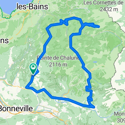
2013 09 08 COG St Jeoire- Areches (via Taninges)
Cycling route in Saint-Jeoire, Auvergne-Rhône-Alpes, France
Grand Bornand, Col de Aravis na 75 km
- 115.9 km
- Distance
- 2,695 m
- Ascent
- 2,250 m
- Descent

Onnion Morzine Onnion
Cycling route in Saint-Jeoire, Auvergne-Rhône-Alpes, France
Onnion, La Vernaz, Morzine, Les Gets, Taninges, Mieussy, Onnion
- 85.5 km
- Distance
- 1,179 m
- Ascent
- 1,181 m
- Descent

Cevennen Alpen 1995 Etappe 12
Cycling route in Saint-Jeoire, Auvergne-Rhône-Alpes, France
St. Jeoire - Amphion les Bains
- 47.4 km
- Distance
- 631 m
- Ascent
- 869 m
- Descent

Sortie 9
Cycling route in Saint-Jeoire, Auvergne-Rhône-Alpes, France
Evires
- 87.8 km
- Distance
- 936 m
- Ascent
- 936 m
- Descent
Discover more routes
 Haute Savoie: St-Jeoire - Onion - Cols de l'Avernas - de Ludran - des Moises - de Cou - de Terramont - de Jambaz
- Distance
- 103.9 km
- Ascent
- 2,250 m
- Descent
- 2,253 m
- Location
- Saint-Jeoire, Auvergne-Rhône-Alpes, France
 Haute Savoie: Col Ramaz - retour via Col de Feu
- Distance
- 98.3 km
- Ascent
- 2,110 m
- Descent
- 2,110 m
- Location
- Saint-Jeoire, Auvergne-Rhône-Alpes, France
 Haute Savoie: 116 km : Col Jambaz - Avoriaz
- Distance
- 116.1 km
- Ascent
- 2,548 m
- Descent
- 2,548 m
- Location
- Saint-Jeoire, Auvergne-Rhône-Alpes, France
 Haute-Savoie: 91 km: St-Jeoire- Col Joux Plane - Morzine - Col Ramaz - St-Jeoire
- Distance
- 91.2 km
- Ascent
- 2,724 m
- Descent
- 2,720 m
- Location
- Saint-Jeoire, Auvergne-Rhône-Alpes, France
 Onnion Joux Plane
- Distance
- 84.5 km
- Ascent
- 1,699 m
- Descent
- 1,699 m
- Location
- Saint-Jeoire, Auvergne-Rhône-Alpes, France
 Onnion, Samoens, Joux plane, Corbier, Ubine, Forclaz, Jambaz, Onnion
- Distance
- 145.4 km
- Ascent
- 3,254 m
- Descent
- 3,254 m
- Location
- Saint-Jeoire, Auvergne-Rhône-Alpes, France
 Onnion Habere Poche Yvoir Les Brasses Onnion
- Distance
- 116.3 km
- Ascent
- 1,668 m
- Descent
- 1,670 m
- Location
- Saint-Jeoire, Auvergne-Rhône-Alpes, France
 onnion joux plane Sixt fer Cheval, Onnio
- Distance
- 94.5 km
- Ascent
- 1,491 m
- Descent
- 1,485 m
- Location
- Saint-Jeoire, Auvergne-Rhône-Alpes, France