Cycling in Saint-Cernin
Discover a map of 51 cycling routes and bike trails near Saint-Cernin, created by our community.
Region portrait
Get to know Saint-Cernin
Find the right bike route for you through Saint-Cernin, where we've got 51 cycle routes to explore. Most people get on their bikes to ride here in the months of July and August.
2,951 km
Tracked distance
51
Cycle routes
1,137
Population
Community
Most active users in Saint-Cernin
Handpicked routes
Discover Saint-Cernin through these collections
Tour
From our community
The best bike routes in and around Saint-Cernin
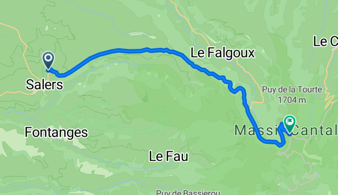
Salers Puy Mary Salers
Cycling route in Saint-Cernin, Auvergne-Rhône-Alpes, France
- 69.2 km
- Distance
- 1,338 m
- Ascent
- 1,338 m
- Descent
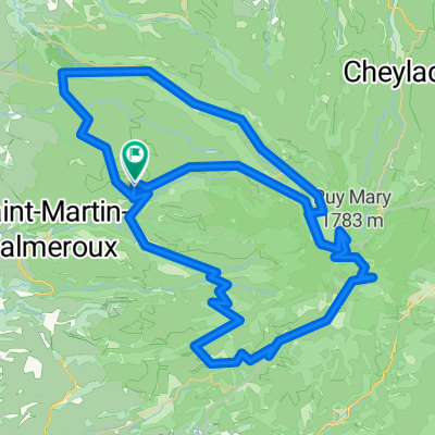
Cantal 2022 N°5 133kms 2500D+
Cycling route in Saint-Cernin, Auvergne-Rhône-Alpes, France
- 132.7 km
- Distance
- 2,871 m
- Ascent
- 2,873 m
- Descent
De Salers à Puy Mary 104, Le Claux
Cycling route in Saint-Cernin, Auvergne-Rhône-Alpes, France
- 19.6 km
- Distance
- 928 m
- Ascent
- 336 m
- Descent
Col de Neronne
Cycling route in Saint-Cernin, Auvergne-Rhône-Alpes, France
- 67.5 km
- Distance
- 1,296 m
- Ascent
- 1,383 m
- Descent
Discover more routes
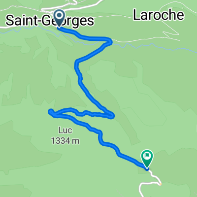
 SAINT GEORGES, por Fontagnes
- Distance
- 6.9 km
- Ascent
- 285 m
- Descent
- 57 m
- Location
- Saint-Cernin, Auvergne-Rhône-Alpes, France
 Salers - Saint-Jacques-des-Blats
- Distance
- 43.4 km
- Ascent
- 1,042 m
- Descent
- 1,052 m
- Location
- Saint-Cernin, Auvergne-Rhône-Alpes, France
 les trois cols du cantal
- Distance
- 75.8 km
- Ascent
- 1,452 m
- Descent
- 1,452 m
- Location
- Saint-Cernin, Auvergne-Rhône-Alpes, France
 Gerade Fahrt in Aurillac
- Distance
- 30.7 km
- Ascent
- 399 m
- Descent
- 533 m
- Location
- Saint-Cernin, Auvergne-Rhône-Alpes, France
 cantal tour (2)
- Distance
- 270.9 km
- Ascent
- 2,997 m
- Descent
- 3,015 m
- Location
- Saint-Cernin, Auvergne-Rhône-Alpes, France
 LÉGAL, por Saint Georges
- Distance
- 5.7 km
- Ascent
- 468 m
- Descent
- 159 m
- Location
- Saint-Cernin, Auvergne-Rhône-Alpes, France
 les trois cols du cantal
- Distance
- 78.2 km
- Ascent
- 1,665 m
- Descent
- 1,665 m
- Location
- Saint-Cernin, Auvergne-Rhône-Alpes, France
 Pas de peyrol 2
- Distance
- 130.8 km
- Ascent
- 2,254 m
- Descent
- 2,245 m
- Location
- Saint-Cernin, Auvergne-Rhône-Alpes, France


