
Cycling in Retonfey
Discover a map of 14 cycling routes and bike trails near Retonfey, created by our community.
Region portrait
Get to know Retonfey
Find the right bike route for you through Retonfey, where we've got 14 cycle routes to explore.
685 km
Tracked distance
14
Cycle routes
1,404
Population
Community
Most active users in Retonfey


From our community
The best bike routes in and around Retonfey

Etappe 3 Glatigny --->Charmes 141,7 km
Cycling route in Retonfey, Grand Est, France
- 141.7 km
- Distance
- 591 m
- Ascent
- 582 m
- Descent

Hayes vers étang du Longeau
Cycling route in Retonfey, Grand Est, France
- 75.5 km
- Distance
- 546 m
- Ascent
- 475 m
- Descent

2. BM Metz - Lutzelbourg
Cycling route in Retonfey, Grand Est, France
- 103.4 km
- Distance
- 551 m
- Ascent
- 557 m
- Descent

Discover more routes
 Rue des Verts Prés, Colligny-Maizery à Rue des Verts Prés, Colligny-Maizery
- Distance
- 33.6 km
- Ascent
- 194 m
- Descent
- 192 m
- Location
- Retonfey, Grand Est, France
 Hayes - La Madine
- Distance
- 68.8 km
- Ascent
- 413 m
- Descent
- 443 m
- Location
- Retonfey, Grand Est, France
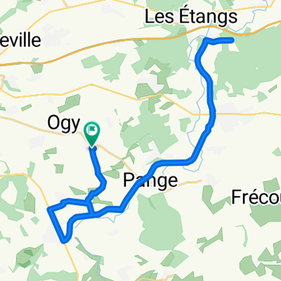
 5 Rue de Fercieux, Nouilly to 3–7 Impasse des Chalets, Ancy-Dornot
- Distance
- 23 km
- Ascent
- 107 m
- Descent
- 123 m
- Location
- Retonfey, Grand Est, France
 Etape 1 Hayes Schwebsange
- Distance
- 70.6 km
- Ascent
- 127 m
- Descent
- 239 m
- Location
- Retonfey, Grand Est, France
 CLM CHAUSSY
- Distance
- 26.6 km
- Ascent
- 364 m
- Descent
- 353 m
- Location
- Retonfey, Grand Est, France
 Saint Agnan - Audin
- Distance
- 65.9 km
- Ascent
- 381 m
- Descent
- 314 m
- Location
- Retonfey, Grand Est, France
 Hayes Montenach chemins
- Distance
- 40.9 km
- Ascent
- 357 m
- Descent
- 392 m
- Location
- Retonfey, Grand Est, France
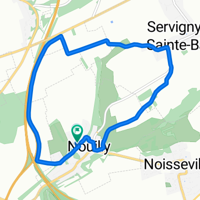 Champ Nouilly Servigny
- Distance
- 6.6 km
- Ascent
- 104 m
- Descent
- 117 m
- Location
- Retonfey, Grand Est, France