
Cycling in Rethel
Discover a map of 14 cycling routes and bike trails near Rethel, created by our community.
Region portrait
Get to know Rethel
Find the right bike route for you through Rethel, where we've got 14 cycle routes to explore.
2,419 km
Tracked distance
14
Cycle routes
8,505
Population


From our community
The best bike routes in and around Rethel

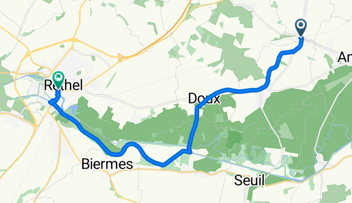
Place de la Gare, Lucquy nach Place de la République, Rethel
Cycling route in Rethel, Grand Est, France
- 13.3 km
- Distance
- 64 m
- Ascent
- 68 m
- Descent


Discover more routes
 1.rethel-rethel
- Distance
- 182.7 km
- Ascent
- 638 m
- Descent
- 638 m
- Location
- Rethel, Grand Est, France
 Rethel-Travemünde
- Distance
- 1,107.6 km
- Ascent
- 815 m
- Descent
- 881 m
- Location
- Rethel, Grand Est, France
 43KM Landschap Wasigny
- Distance
- 43.3 km
- Ascent
- 402 m
- Descent
- 409 m
- Location
- Rethel, Grand Est, France
 rethel/charleville
- Distance
- 195.1 km
- Ascent
- 3,036 m
- Descent
- 2,991 m
- Location
- Rethel, Grand Est, France
 DAG 2 | Coucy - Arc-en-Barrois
- Distance
- 223.9 km
- Ascent
- 564 m
- Descent
- 365 m
- Location
- Rethel, Grand Est, France
 35KM Wasigny
- Distance
- 35.9 km
- Ascent
- 198 m
- Descent
- 209 m
- Location
- Rethel, Grand Est, France
 28KM Wasigny
- Distance
- 28.8 km
- Ascent
- 328 m
- Descent
- 341 m
- Location
- Rethel, Grand Est, France
 10km
10km- Distance
- 9.6 km
- Ascent
- 151 m
- Descent
- 111 m
- Location
- Rethel, Grand Est, France