
Cycling in Pluherlin
Discover a map of 34 cycling routes and bike trails near Pluherlin, created by our community.
Region portrait
Get to know Pluherlin
Find the right bike route for you through Pluherlin, where we've got 34 cycle routes to explore. Most people get on their bikes to ride here in the month of August.
739 km
Tracked distance
34
Cycle routes
1,219
Population
Community
Most active users in Pluherlin


From our community
The best bike routes in and around Pluherlin

16/05*-ROCHEFORT EN TERRE/AURAY 59.84
Cycling route in Pluherlin, Brittany Region, France
- 60.7 km
- Distance
- 250 m
- Ascent
- 267 m
- Descent

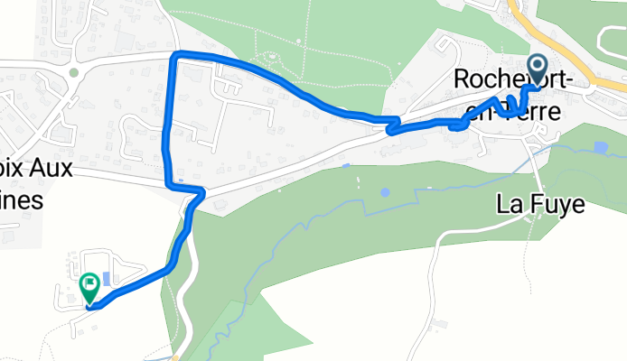
4 Rue de la Fontaine aux Bretons, Pluherlin à 4 Rue de la Fontaine aux Bretons, Pluherlin
Cycling route in Pluherlin, Brittany Region, France
- 14.6 km
- Distance
- 98 m
- Ascent
- 97 m
- Descent

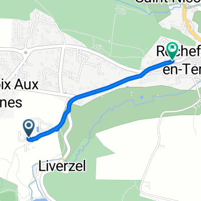
2 Rue Haute Candre, Rochefort-en-Terre à 10 Rue de l'Hôtel de Ville, La Gacilly
Cycling route in Pluherlin, Brittany Region, France
- 25 km
- Distance
- 247 m
- Ascent
- 283 m
- Descent
Discover more routes
 Supersonic route
- Distance
- 1.4 km
- Ascent
- 54 m
- Descent
- 68 m
- Location
- Pluherlin, Brittany Region, France
 Chemin du Bogeais to Place Saint-Michel
- Distance
- 1.4 km
- Ascent
- 15 m
- Descent
- 29 m
- Location
- Pluherlin, Brittany Region, France
 Chemin du Bogeais to Rue Saint-Michel
- Distance
- 1.4 km
- Ascent
- 15 m
- Descent
- 29 m
- Location
- Pluherlin, Brittany Region, France
 Voie verte et canal
- Distance
- 59 km
- Ascent
- 230 m
- Descent
- 226 m
- Location
- Pluherlin, Brittany Region, France
 Bretagne-5.Tag-1-2015.gpx
- Distance
- 50.3 km
- Ascent
- 222 m
- Descent
- 265 m
- Location
- Pluherlin, Brittany Region, France
 De 6 Rue de la Fontaine aux Bretons, Pluherlin à 4 Rue de la Fontaine aux Bretons, Pluherlin
- Distance
- 20.7 km
- Ascent
- 184 m
- Descent
- 183 m
- Location
- Pluherlin, Brittany Region, France
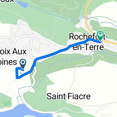
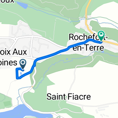
 2 Rue Haute Candre, Rochefort-en-Terre à Chemin de l'Écluse, Malestroit
- Distance
- 29.5 km
- Ascent
- 210 m
- Descent
- 242 m
- Location
- Pluherlin, Brittany Region, France
 De 6 Rue de la Fontaine aux Bretons, Pluherlin à 6 Rue de la Fontaine aux Bretons, Pluherlin
- Distance
- 14.3 km
- Ascent
- 135 m
- Descent
- 136 m
- Location
- Pluherlin, Brittany Region, France