
Cycling in Montguyon
Discover a map of 6 cycling routes and bike trails near Montguyon, created by our community.
Region portrait
Get to know Montguyon
Find the right bike route for you through Montguyon, where we've got 6 cycle routes to explore.
169 km
Tracked distance
6
Cycle routes
1,572
Population
Community
Most active users in Montguyon

From our community
The best bike routes in and around Montguyon

De 9 Le Bourg, Saint-Martin-d'Ary à 2bis Route des Châteaux, Clérac
Cycling route in Montguyon, Nouvelle-Aquitaine, France
- 6.3 km
- Distance
- 55 m
- Ascent
- 27 m
- Descent

Montguyon-Bordeaux
Cycling route in Montguyon, Nouvelle-Aquitaine, France
- 97.8 km
- Distance
- 507 m
- Ascent
- 556 m
- Descent

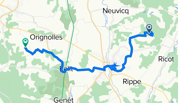
Rue de la Faucherie, Le Fouilloux nach Champagne, Saint-Aigulin
Cycling route in Montguyon, Nouvelle-Aquitaine, France
- 19.4 km
- Distance
- 183 m
- Ascent
- 245 m
- Descent
De Montguyon à Le Bois, Montlieu-la-Garde
Cycling route in Montguyon, Nouvelle-Aquitaine, France
- 12.4 km
- Distance
- 175 m
- Ascent
- 150 m
- Descent