Cycling in Montélimar
Discover a map of 328 cycling routes and bike trails near Montélimar, created by our community.
Region portrait
Get to know Montélimar
Find the right bike route for you through Montélimar, where we've got 328 cycle routes to explore. Most people get on their bikes to ride here in the months of July and August.
37,008 km
Tracked distance
328
Cycle routes
35,637
Population
Community
Most active users in Montélimar
Handpicked routes
Discover Montélimar through these collections
Tour
From our community
The best bike routes in and around Montélimar
pour aller chez Hervé
Cycling route in Montélimar, Auvergne-Rhône-Alpes, France
- 62.3 km
- Distance
- 520 m
- Ascent
- 475 m
- Descent
13. Tag Saint Julien du Gua - Saint Nazaire en Royans
Cycling route in Montélimar, Auvergne-Rhône-Alpes, France
- 103.8 km
- Distance
- 219 m
- Ascent
- 132 m
- Descent
C'est beau le Niger (provençal) à vélo 2016
Cycling route in Montélimar, Auvergne-Rhône-Alpes, France
- 365.8 km
- Distance
- 2,835 m
- Ascent
- 2,886 m
- Descent
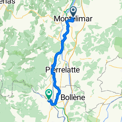
Etape 4 : Montelimar ==> Pont ST Esprit
Cycling route in Montélimar, Auvergne-Rhône-Alpes, France
- 47.9 km
- Distance
- 50 m
- Ascent
- 76 m
- Descent
Discover more routes
 Montelimar (col Ardeche)
- Distance
- 55.7 km
- Ascent
- 840 m
- Descent
- 845 m
- Location
- Montélimar, Auvergne-Rhône-Alpes, France
 montelimar to port st esprit
- Distance
- 50.1 km
- Ascent
- 153 m
- Descent
- 160 m
- Location
- Montélimar, Auvergne-Rhône-Alpes, France
 Tour de France 2016 - Stage 14
- Distance
- 216 km
- Ascent
- 1,240 m
- Descent
- 1,048 m
- Location
- Montélimar, Auvergne-Rhône-Alpes, France
 BOUCLE SUD - ESQUISSE 750K
- Distance
- 757.9 km
- Ascent
- 13,985 m
- Descent
- 13,987 m
- Location
- Montélimar, Auvergne-Rhône-Alpes, France
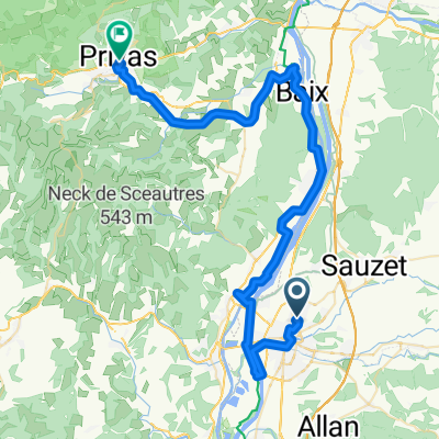
 Monte nach Privas 110 km
- Distance
- 56.1 km
- Ascent
- 607 m
- Descent
- 405 m
- Location
- Montélimar, Auvergne-Rhône-Alpes, France
 Montélimar - Poët Laval - Graveson
- Distance
- 128.5 km
- Ascent
- 763 m
- Descent
- 825 m
- Location
- Montélimar, Auvergne-Rhône-Alpes, France
 Day 3
Day 3- Distance
- 88.1 km
- Ascent
- 314 m
- Descent
- 370 m
- Location
- Montélimar, Auvergne-Rhône-Alpes, France
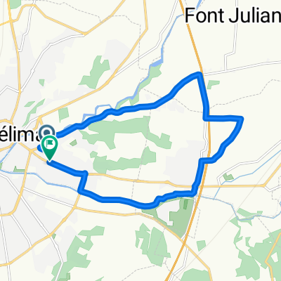
 De Chemin de la Resse à Chemin de la Resse
- Distance
- 13.1 km
- Ascent
- 64 m
- Descent
- 108 m
- Location
- Montélimar, Auvergne-Rhône-Alpes, France


