
Cycling in Livinhac-le-Haut
Discover a map of 55 cycling routes and bike trails near Livinhac-le-Haut, created by our community.
Region portrait
Get to know Livinhac-le-Haut
Find the right bike route for you through Livinhac-le-Haut, where we've got 55 cycle routes to explore. Most people get on their bikes to ride here in the months of June and July.
5,215 km
Tracked distance
55
Cycle routes
1,181
Population
Community
Most active users in Livinhac-le-Haut


From our community
The best bike routes in and around Livinhac-le-Haut


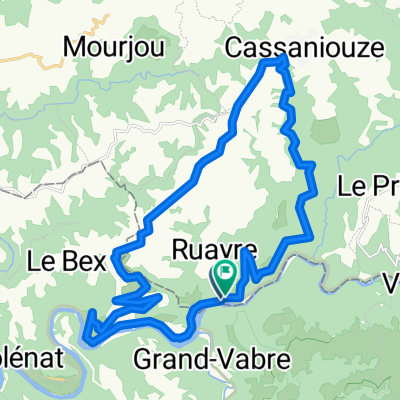
Deutschland - Portugal (Berlin - Faro) FR 24 Livinhac-le-Haut - Cajarc
Cycling route in Livinhac-le-Haut, Occitanie, France
- 49.5 km
- Distance
- 482 m
- Ascent
- 529 m
- Descent

6. etapa Coursavy - St Chely d Aubrac
Cycling route in Livinhac-le-Haut, Occitanie, France
- 80.3 km
- Distance
- 1,318 m
- Ascent
- 712 m
- Descent

2019-30 Montmurat Bagnac to Limogne-en-Quercy
Cycling route in Livinhac-le-Haut, Occitanie, France
- 57.7 km
- Distance
- 646 m
- Ascent
- 650 m
- Descent

Pont de Coursavy - Aurillac (Nr. 133)
Cycling route in Livinhac-le-Haut, Occitanie, France
- 45.6 km
- Distance
- 858 m
- Ascent
- 464 m
- Descent
Discover more routes
 Pont de Coursavy - Corn (Nr. 102 + 99)
- Distance
- 59.2 km
- Ascent
- 896 m
- Descent
- 880 m
- Location
- Livinhac-le-Haut, Occitanie, France
 RNR CAMP #2 -a-
- Distance
- 228.1 km
- Ascent
- 2,469 m
- Descent
- 2,273 m
- Location
- Livinhac-le-Haut, Occitanie, France
 Dag 6 Saint Projet- Cahors Camping Riviere de Cabessut
- Distance
- 121 km
- Ascent
- 820 m
- Descent
- 928 m
- Location
- Livinhac-le-Haut, Occitanie, France
 Entraygues-Falcou
- Distance
- 174.3 km
- Ascent
- 1,026 m
- Descent
- 1,078 m
- Location
- Livinhac-le-Haut, Occitanie, France
 Lot3
Lot3- Distance
- 25.1 km
- Ascent
- 646 m
- Descent
- 625 m
- Location
- Livinhac-le-Haut, Occitanie, France
 Les volcans - Bordeaux
- Distance
- 408.3 km
- Ascent
- 542 m
- Descent
- 724 m
- Location
- Livinhac-le-Haut, Occitanie, France
 lot2
lot2- Distance
- 22.2 km
- Ascent
- 779 m
- Descent
- 766 m
- Location
- Livinhac-le-Haut, Occitanie, France
 5. Livinhac - Condom
- Distance
- 236.9 km
- Ascent
- 3,496 m
- Descent
- 3,622 m
- Location
- Livinhac-le-Haut, Occitanie, France