


GT2V étape 5: Lempdes-sur-Allagnon → Brassac-les-Mines
- 4.3 km
- 42 m
- 63 m
- Lempdes-sur-Allagnon, Auvergne-Rhône-Alpes, France

Discover a map of 8 cycling routes and bike trails near Lempdes-sur-Allagnon, created by our community.
Region portrait
Find the right bike route for you through Lempdes-sur-Allagnon, where we've got 8 cycle routes to explore.
1,938 km
Tracked distance
8
Cycle routes
1,450
Population
Community
From our community
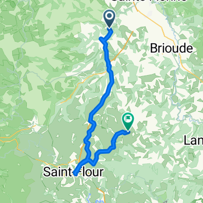
Cycling route in Lempdes-sur-Allagnon, Auvergne-Rhône-Alpes, France
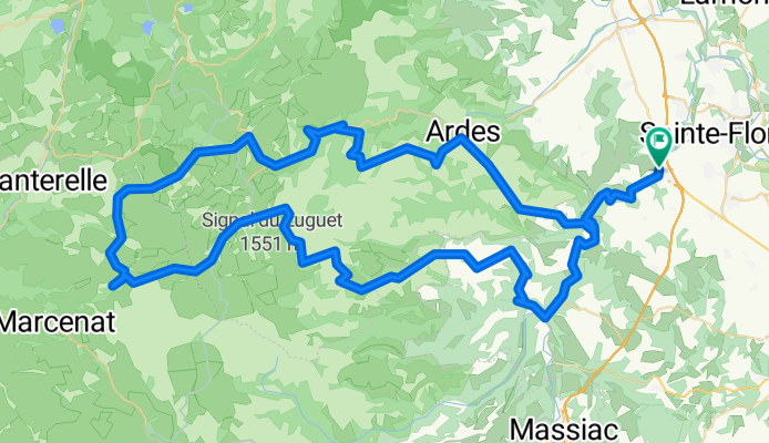
Cycling route in Lempdes-sur-Allagnon, Auvergne-Rhône-Alpes, France
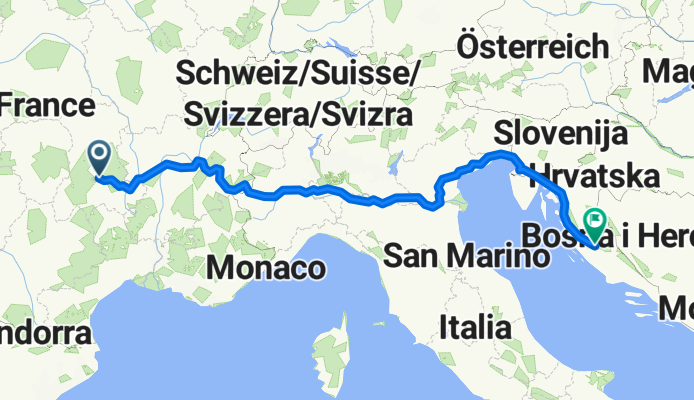
Cycling route in Lempdes-sur-Allagnon, Auvergne-Rhône-Alpes, France
Cycling route in Lempdes-sur-Allagnon, Auvergne-Rhône-Alpes, France