
Cycling in Lavelanet
Discover a map of 70 cycling routes and bike trails near Lavelanet, created by our community.
Region portrait
Get to know Lavelanet
Find the right bike route for you through Lavelanet, where we've got 70 cycle routes to explore. Most people get on their bikes to ride here in the month of July.
9,291 km
Tracked distance
70
Cycle routes
7,382
Population
Community
Most active users in Lavelanet


From our community
The best bike routes in and around Lavelanet

F/Villeneuve-Espezel-Montsegur-ret
Cycling route in Lavelanet, Occitanie, France
- 88.1 km
- Distance
- 1,292 m
- Ascent
- 1,293 m
- Descent

Lavelanet-Boucle 120Km
Cycling route in Lavelanet, Occitanie, France
- 120.3 km
- Distance
- 617 m
- Ascent
- 617 m
- Descent

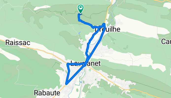
Lavelanet-Boucle 68Km
Cycling route in Lavelanet, Occitanie, France
- 67.8 km
- Distance
- 546 m
- Ascent
- 546 m
- Descent
Discover more routes
 Montsegur a Brindisi
- Distance
- 3,190.5 km
- Ascent
- 7,935 m
- Descent
- 8,840 m
- Location
- Lavelanet, Occitanie, France
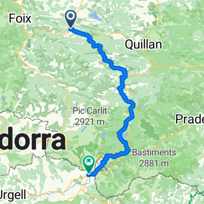
 Etape 5 : Levelanet - Ax-Les-Thermes via Montsegur
- Distance
- 74.7 km
- Ascent
- 2,473 m
- Descent
- 2,273 m
- Location
- Lavelanet, Occitanie, France
 Pyrenäen 2000 Etappe 15
- Distance
- 87 km
- Ascent
- 1,042 m
- Descent
- 1,416 m
- Location
- Lavelanet, Occitanie, France
 Lavelanet - Puigserdà
- Distance
- 109.4 km
- Ascent
- 1,795 m
- Descent
- 1,115 m
- Location
- Lavelanet, Occitanie, France
 COL DE LA LAUZE (por Lavelanet)
- Distance
- 11 km
- Ascent
- 485 m
- Descent
- 69 m
- Location
- Lavelanet, Occitanie, France
 Col de Montségur (por Lavelanet)
- Distance
- 10.9 km
- Ascent
- 588 m
- Descent
- 52 m
- Location
- Lavelanet, Occitanie, France
 CC Etapa 03 MONTSÉGUR a PUIVERT
- Distance
- 47 km
- Ascent
- 573 m
- Descent
- 889 m
- Location
- Lavelanet, Occitanie, France
 ddsdq
ddsdq- Distance
- 20 km
- Ascent
- 186 m
- Descent
- 255 m
- Location
- Lavelanet, Occitanie, France