
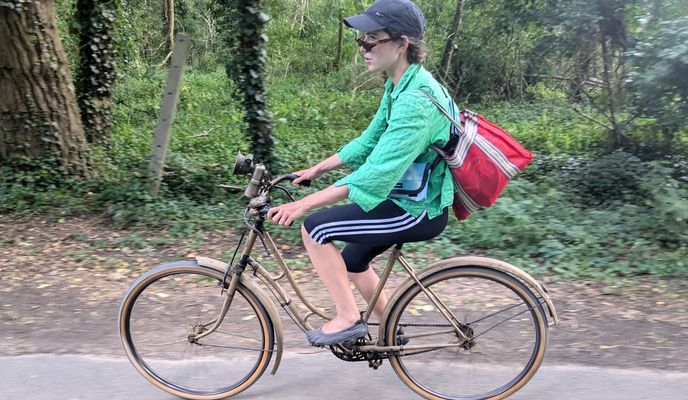
Cycling in La Tronche
Discover a map of 608 cycling routes and bike trails near La Tronche, created by our community.
Region portrait
Get to know La Tronche
Find the right bike route for you through La Tronche, where we've got 608 cycle routes to explore. Most people get on their bikes to ride here in the months of May and July.
88,772 km
Tracked distance
608
Cycle routes
7,125
Population
Community
Most active users in La Tronche


Handpicked routes
Discover La Tronche through these collections
 Tour
Tour Tour
Tour- Tour
From our community
The best bike routes in and around La Tronche
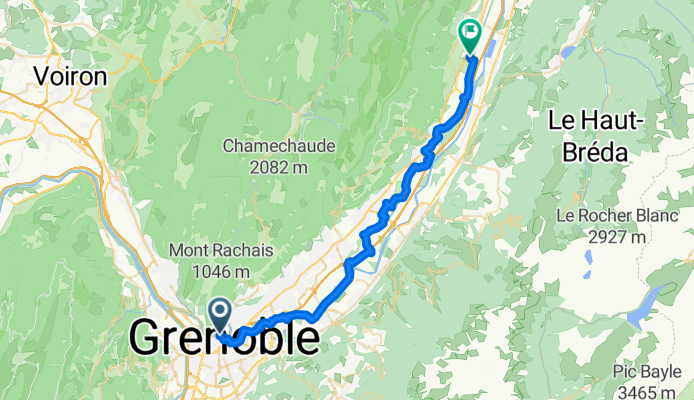
Grenoble to La Maison d'Euterpe
Cycling route in La Tronche, Auvergne-Rhône-Alpes, France
- 38.4 km
- Distance
- 178 m
- Ascent
- 131 m
- Descent

4 seigneurs-Eybens
Cycling route in La Tronche, Auvergne-Rhône-Alpes, France
- 24.9 km
- Distance
- 580 m
- Ascent
- 580 m
- Descent
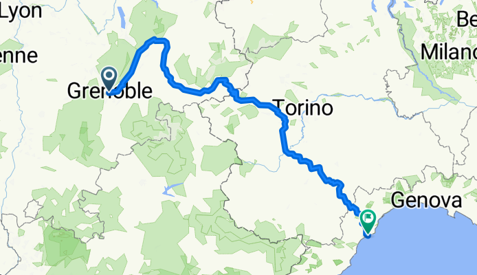
Von Grenoble bis Finale Ligure
Cycling route in La Tronche, Auvergne-Rhône-Alpes, France
- 461.2 km
- Distance
- 8,795 m
- Ascent
- 9,002 m
- Descent
Simandre - Fleurieu-sur-Saône
Cycling route in La Tronche, Auvergne-Rhône-Alpes, France
- 114.4 km
- Distance
- 683 m
- Ascent
- 777 m
- Descent
Discover more routes
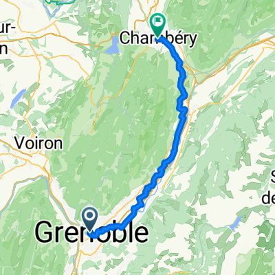
 De Grenoble à Chamrousse
- Distance
- 214.2 km
- Ascent
- 8,219 m
- Descent
- 6,756 m
- Location
- La Tronche, Auvergne-Rhône-Alpes, France
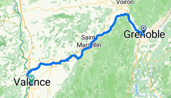
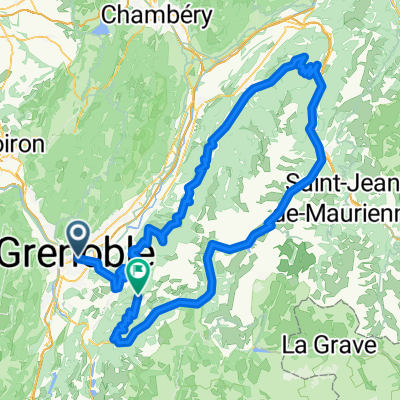
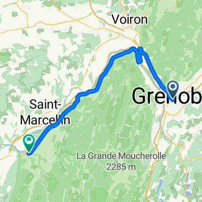
 La Tronche - Saint-Just-de-Claix
- Distance
- 65.3 km
- Ascent
- 79 m
- Descent
- 109 m
- Location
- La Tronche, Auvergne-Rhône-Alpes, France
 La Tronche - Saint-Just-de-Claix
- Distance
- 65.3 km
- Ascent
- 79 m
- Descent
- 109 m
- Location
- La Tronche, Auvergne-Rhône-Alpes, France
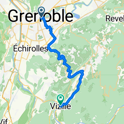 Boulevard Jean Pain, Grenoble nach Place de la Libération, Vizille
- Distance
- 23.9 km
- Ascent
- 336 m
- Descent
- 268 m
- Location
- La Tronche, Auvergne-Rhône-Alpes, France
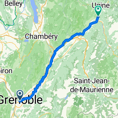 La Tronche - Albertville
- Distance
- 95.6 km
- Ascent
- 337 m
- Descent
- 201 m
- Location
- La Tronche, Auvergne-Rhône-Alpes, France
 Place de Lavalette nach Rue Favre
- Distance
- 67.4 km
- Ascent
- 465 m
- Descent
- 403 m
- Location
- La Tronche, Auvergne-Rhône-Alpes, France
 Gre-Uriage-Vizille-St georges de Commiers-Vif-Gre
- Distance
- 51.5 km
- Ascent
- 374 m
- Descent
- 374 m
- Location
- La Tronche, Auvergne-Rhône-Alpes, France
 Trophée Ghuislain Lambert - Etape 2/2
- Distance
- 119.1 km
- Ascent
- 499 m
- Descent
- 501 m
- Location
- La Tronche, Auvergne-Rhône-Alpes, France
Routes from La Tronche
By bicycle from
La Tronche to Saint-Martin-le-Vinoux