
Cycling in La Motte-Saint-Martin
Discover a map of 45 cycling routes and bike trails near La Motte-Saint-Martin, created by our community.
Region portrait
Get to know La Motte-Saint-Martin
Find the right bike route for you through La Motte-Saint-Martin, where we've got 45 cycle routes to explore. Most people get on their bikes to ride here in the month of June.
3,008 km
Tracked distance
45
Cycle routes
1,647
Population
Community
Most active users in La Motte-Saint-Martin


From our community
The best bike routes in and around La Motte-Saint-Martin

Monestier - Nyons
Cycling route in La Motte-Saint-Martin, Auvergne-Rhône-Alpes, France
- 137 km
- Distance
- 1,150 m
- Ascent
- 1,739 m
- Descent

22-13
Cycling route in La Motte-Saint-Martin, Auvergne-Rhône-Alpes, France
- 55.3 km
- Distance
- 810 m
- Ascent
- 1,063 m
- Descent

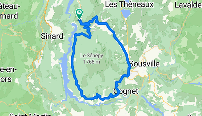
Tornicoti
Cycling route in La Motte-Saint-Martin, Auvergne-Rhône-Alpes, France
- 34.6 km
- Distance
- 680 m
- Ascent
- 673 m
- Descent
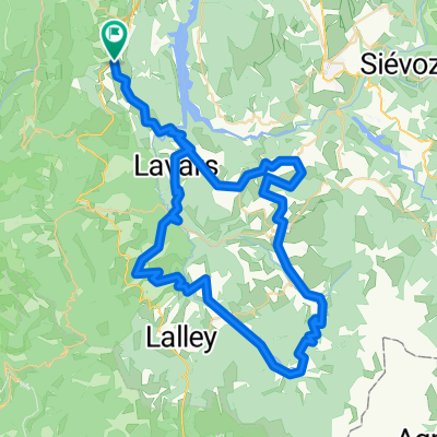
corniche_du_Drac_seul
Cycling route in La Motte-Saint-Martin, Auvergne-Rhône-Alpes, France
- 41.3 km
- Distance
- 565 m
- Ascent
- 566 m
- Descent
Discover more routes
 200521_retour_Allimas_Uriage
- Distance
- 53.7 km
- Ascent
- 188 m
- Descent
- 1,117 m
- Location
- La Motte-Saint-Martin, Auvergne-Rhône-Alpes, France
 maison_parentlukas
- Distance
- 90 km
- Ascent
- 1,353 m
- Descent
- 1,870 m
- Location
- La Motte-Saint-Martin, Auvergne-Rhône-Alpes, France
 Monestier-Mens-Vif-2
- Distance
- 84.6 km
- Ascent
- 2,221 m
- Descent
- 2,743 m
- Location
- La Motte-Saint-Martin, Auvergne-Rhône-Alpes, France
 Pittig
- Distance
- 61.9 km
- Ascent
- 1,262 m
- Descent
- 1,263 m
- Location
- La Motte-Saint-Martin, Auvergne-Rhône-Alpes, France
 Lac de Monteynard/Monestier/Mens/Clelles
- Distance
- 45.3 km
- Ascent
- 1,093 m
- Descent
- 756 m
- Location
- La Motte-Saint-Martin, Auvergne-Rhône-Alpes, France
 171–503 Chemin de Pabra, Treffort naar Treffort
- Distance
- 1.2 km
- Ascent
- 17 m
- Descent
- 14 m
- Location
- La Motte-Saint-Martin, Auvergne-Rhône-Alpes, France
 Allauch 2002 25.5. Tag08
- Distance
- 110.5 km
- Ascent
- 530 m
- Descent
- 884 m
- Location
- La Motte-Saint-Martin, Auvergne-Rhône-Alpes, France
 Le Trièves - mens
- Distance
- 78.3 km
- Ascent
- 1,436 m
- Descent
- 1,436 m
- Location
- La Motte-Saint-Martin, Auvergne-Rhône-Alpes, France