
Cycling in La Fare-les-Oliviers
Discover a map of 8 cycling routes and bike trails near La Fare-les-Oliviers, created by our community.
Region portrait
Get to know La Fare-les-Oliviers
Find the right bike route for you through La Fare-les-Oliviers, where we've got 8 cycle routes to explore.
336 km
Tracked distance
8
Cycle routes
6,646
Population
Community
Most active users in La Fare-les-Oliviers


From our community
The best bike routes in and around La Fare-les-Oliviers
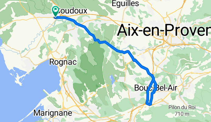
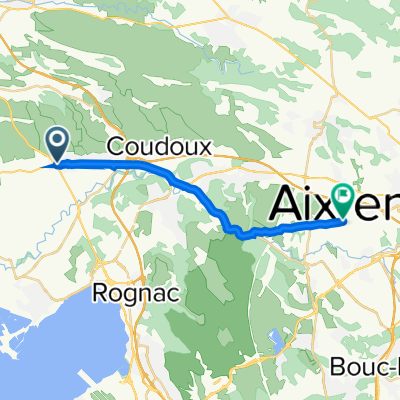
decath bouc bel air
Cycling route in La Fare-les-Oliviers, Provence-Alpes-Côte d'Azur Region, France
- 49.8 km
- Distance
- 227 m
- Ascent
- 229 m
- Descent
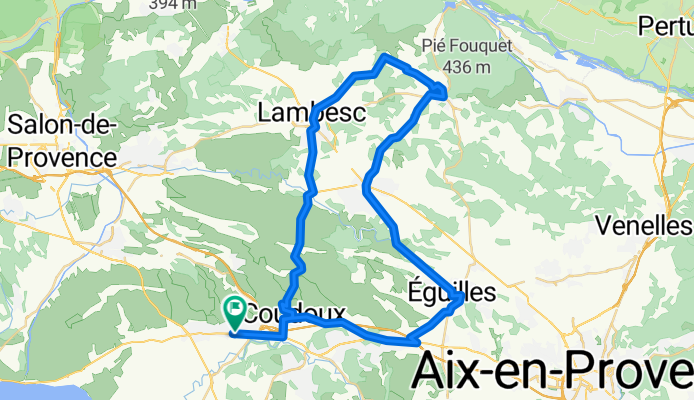
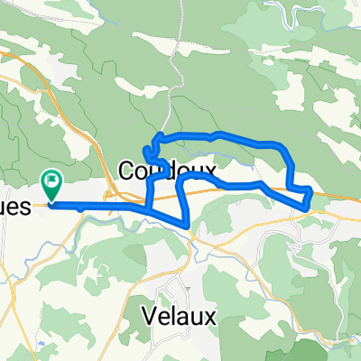
lambesc-rognes-st cannat-eguilles
Cycling route in La Fare-les-Oliviers, Provence-Alpes-Côte d'Azur Region, France
- 57.8 km
- Distance
- 595 m
- Ascent
- 598 m
- Descent
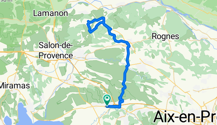
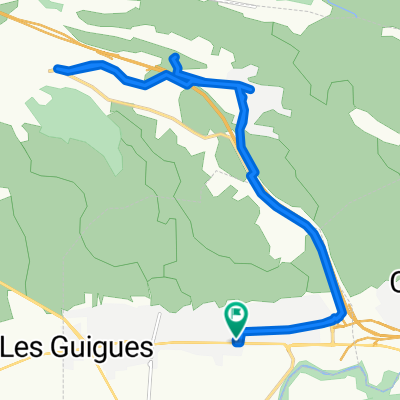
vernégues
Cycling route in La Fare-les-Oliviers, Provence-Alpes-Côte d'Azur Region, France
- 59 km
- Distance
- 693 m
- Ascent
- 699 m
- Descent

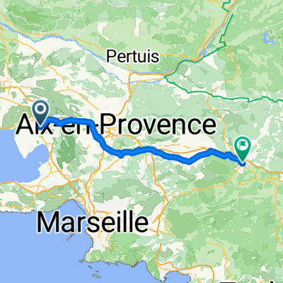
Roquefavour-Milles-Eguilles
Cycling route in La Fare-les-Oliviers, Provence-Alpes-Côte d'Azur Region, France
- 38.1 km
- Distance
- 225 m
- Ascent
- 225 m
- Descent
Discover more routes
 D10, La Fare-les-Oliviers nach Route de Nice 420, Saint-Maximin-la-Sainte-Baume
- Distance
- 71.4 km
- Ascent
- 611 m
- Descent
- 326 m
- Location
- La Fare-les-Oliviers, Provence-Alpes-Côte d'Azur Region, France
 Recovered Route
- Distance
- 18.1 km
- Ascent
- 182 m
- Descent
- 99 m
- Location
- La Fare-les-Oliviers, Provence-Alpes-Côte d'Azur Region, France
 De 57 Avenue du Général de Gaulle, La Fare-les-Oliviers à 57 Avenue du Général de Gaulle, La Fare-les-Oliviers
- Distance
- 20.5 km
- Ascent
- 205 m
- Descent
- 199 m
- Location
- La Fare-les-Oliviers, Provence-Alpes-Côte d'Azur Region, France
 De 57 Avenue du Général de Gaulle, La Fare-les-Oliviers à 57 Avenue du Général de Gaulle, La Fare-les-Oliviers
- Distance
- 21.7 km
- Ascent
- 3 m
- Descent
- 24 m
- Location
- La Fare-les-Oliviers, Provence-Alpes-Côte d'Azur Region, France