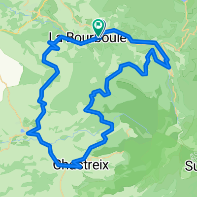
Cycling in La Bourboule
Discover a map of 80 cycling routes and bike trails near La Bourboule, created by our community.
Region portrait
Get to know La Bourboule
Find the right bike route for you through La Bourboule, where we've got 80 cycle routes to explore. Most people get on their bikes to ride here in the months of July and August.
5,658 km
Tracked distance
80
Cycle routes
2,162
Population
Community
Most active users in La Bourboule
Handpicked routes
Discover La Bourboule through these collections
Tour
From our community
The best bike routes in and around La Bourboule
FDm Tour Forgès
Cycling route in La Bourboule, Auvergne-Rhône-Alpes, France
- 132.3 km
- Distance
- 1,034 m
- Ascent
- 1,786 m
- Descent
BOURBOULE croix st robert-lac pavin-chastrex- 97kms
Cycling route in La Bourboule, Auvergne-Rhône-Alpes, France
- 96.4 km
- Distance
- 2,001 m
- Ascent
- 1,993 m
- Descent
BOURBOULE gorges de courgoul 93kms
Cycling route in La Bourboule, Auvergne-Rhône-Alpes, France
- 91.8 km
- Distance
- 1,714 m
- Ascent
- 1,714 m
- Descent
BOURBOULE - mont dore-croix morand- chambontour d'auvergne 71km
Cycling route in La Bourboule, Auvergne-Rhône-Alpes, France
- 71 km
- Distance
- 1,411 m
- Ascent
- 1,408 m
- Descent
Discover more routes
 bourboule -le mont dore-la croix morand-145km(la uournée)
- Distance
- 144.9 km
- Ascent
- 2,367 m
- Descent
- 2,367 m
- Location
- La Bourboule, Auvergne-Rhône-Alpes, France
 BOURBOULE route des lacs-rochefort en montagne 96km
- Distance
- 95.3 km
- Ascent
- 1,486 m
- Descent
- 1,487 m
- Location
- La Bourboule, Auvergne-Rhône-Alpes, France
 bourboule-mont dore- tour d'auvergne-messeix93kms
- Distance
- 93 km
- Ascent
- 1,268 m
- Descent
- 1,268 m
- Location
- La Bourboule, Auvergne-Rhône-Alpes, France
 chemin 1
- Distance
- 4.8 km
- Ascent
- 199 m
- Descent
- 103 m
- Location
- La Bourboule, Auvergne-Rhône-Alpes, France
 Bourboule 45-700
- Distance
- 44 km
- Ascent
- 671 m
- Descent
- 674 m
- Location
- La Bourboule, Auvergne-Rhône-Alpes, France
 La Bourboule 60 km 1450 m +
- Distance
- 60 km
- Ascent
- 1,402 m
- Descent
- 1,306 m
- Location
- La Bourboule, Auvergne-Rhône-Alpes, France
 48k Picherande
- Distance
- 47.6 km
- Ascent
- 797 m
- Descent
- 796 m
- Location
- La Bourboule, Auvergne-Rhône-Alpes, France
 38k Mont Dore
- Distance
- 37.9 km
- Ascent
- 841 m
- Descent
- 843 m
- Location
- La Bourboule, Auvergne-Rhône-Alpes, France


