
Cycling in Guerlesquin
Discover a map of 24 cycling routes and bike trails near Guerlesquin, created by our community.
Region portrait
Get to know Guerlesquin
Find the right bike route for you through Guerlesquin, where we've got 24 cycle routes to explore.
853 km
Tracked distance
24
Cycle routes
1,451
Population
Community
Most active users in Guerlesquin


From our community
The best bike routes in and around Guerlesquin

Pauhlan 2
Cycling route in Guerlesquin, Brittany Region, France
- 140.3 km
- Distance
- 842 m
- Ascent
- 1,055 m
- Descent

paulhan1
Cycling route in Guerlesquin, Brittany Region, France
- 150.9 km
- Distance
- 686 m
- Ascent
- 686 m
- Descent

Day 7 Plougat-Moysan to Roscoff 50 km
Cycling route in Guerlesquin, Brittany Region, France
- 49.2 km
- Distance
- 319 m
- Ascent
- 469 m
- Descent

Discover more routes
 Baptiste
- Distance
- 47.9 km
- Ascent
- 425 m
- Descent
- 413 m
- Location
- Guerlesquin, Brittany Region, France
 Chemin de Ronde de Tro Guic, Guerlesquin à Chemin de Ronde de Tro Guic, Guerlesquin
- Distance
- 5.9 km
- Ascent
- 40 m
- Descent
- 39 m
- Location
- Guerlesquin, Brittany Region, France
 D 42, Guerlesquin à D 42, Guerlesquin
- Distance
- 30.3 km
- Ascent
- 478 m
- Descent
- 489 m
- Location
- Guerlesquin, Brittany Region, France
 De Hent Park ar Piz à Hent Park ar Piz
- Distance
- 43.2 km
- Ascent
- 894 m
- Descent
- 901 m
- Location
- Guerlesquin, Brittany Region, France
 pauhlan
- Distance
- 8.5 km
- Ascent
- 112 m
- Descent
- 82 m
- Location
- Guerlesquin, Brittany Region, France
 D 42, Guerlesquin à D 42, Guerlesquin
- Distance
- 24.6 km
- Ascent
- 424 m
- Descent
- 425 m
- Location
- Guerlesquin, Brittany Region, France
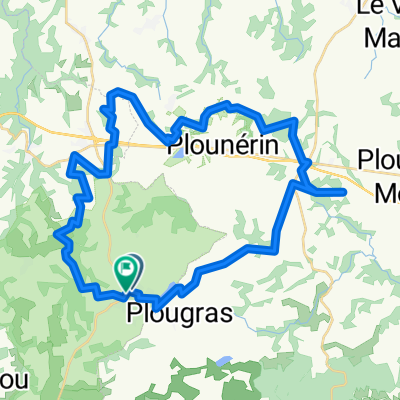
 De 279 Route de Plougras, Guerlesquin à Pen ar Yun, Plougras
- Distance
- 3.1 km
- Ascent
- 61 m
- Descent
- 19 m
- Location
- Guerlesquin, Brittany Region, France
 Circuit de l'Etang du Guic Guerlesquin
- Distance
- 16.8 km
- Ascent
- 251 m
- Descent
- 250 m
- Location
- Guerlesquin, Brittany Region, France