
Cycling in Gondrin
Discover a map of 13 cycling routes and bike trails near Gondrin, created by our community.
Region portrait
Get to know Gondrin
Find the right bike route for you through Gondrin, where we've got 13 cycle routes to explore.
349 km
Tracked distance
13
Cycle routes
1,049
Population
Community
Most active users in Gondrin


From our community
The best bike routes in and around Gondrin


De Molère, Courrensan à Molère, Courrensan
Cycling route in Gondrin, Occitanie, France
- 26.2 km
- Distance
- 246 m
- Ascent
- 244 m
- Descent
Discover more routes
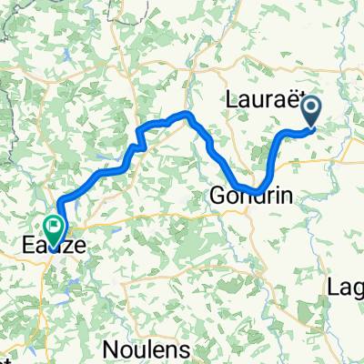 Chemin de Cambos, Lauraët nach Place d'Armagnac, Eauze
- Distance
- 25 km
- Ascent
- 256 m
- Descent
- 199 m
- Location
- Gondrin, Occitanie, France
 De D158, Courrensan à Route de Castelnau d'Auzan, Bretagne-d'Armagnac
- Distance
- 8 km
- Ascent
- 89 m
- Descent
- 100 m
- Location
- Gondrin, Occitanie, France
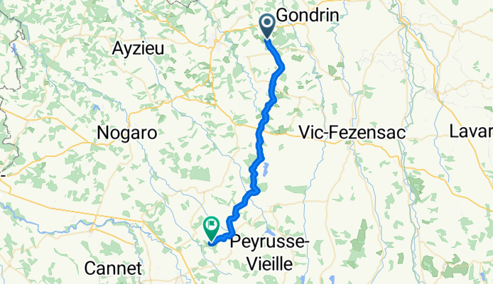
 Restful route in Lagraulet-du-Gers
- Distance
- 8.6 km
- Ascent
- 193 m
- Descent
- 190 m
- Location
- Gondrin, Occitanie, France
 PR 22 wandeling 12 km, ten zuiden van LAGRAULET de GERS
- Distance
- 12 km
- Ascent
- 236 m
- Descent
- 236 m
- Location
- Gondrin, Occitanie, France
 Gondrin - Plaisance
- Distance
- 33 km
- Ascent
- 479 m
- Descent
- 455 m
- Location
- Gondrin, Occitanie, France
 De D254, Lagraulet-du-Gers à 10 Rue du Maréchal Foch, Condom
- Distance
- 19.6 km
- Ascent
- 170 m
- Descent
- 212 m
- Location
- Gondrin, Occitanie, France
 Route van D208, Mouchan
- Distance
- 48.1 km
- Ascent
- 793 m
- Descent
- 729 m
- Location
- Gondrin, Occitanie, France
 5-Gondrin-Pau
- Distance
- 102.4 km
- Ascent
- 680 m
- Descent
- 683 m
- Location
- Gondrin, Occitanie, France