
Cycling in Erstein
Discover a map of 86 cycling routes and bike trails near Erstein, created by our community.
Region portrait
Get to know Erstein
Find the right bike route for you through Erstein, where we've got 86 cycle routes to explore. Most people get on their bikes to ride here in the months of June and July.
3,598 km
Tracked distance
86
Cycle routes
9,647
Population
Community
Most active users in Erstein


From our community
The best bike routes in and around Erstein

Vogesentour mit dem Rennrad
Cycling route in Erstein, Grand Est, France
- 134.5 km
- Distance
- 1,781 m
- Ascent
- 1,783 m
- Descent
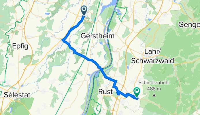
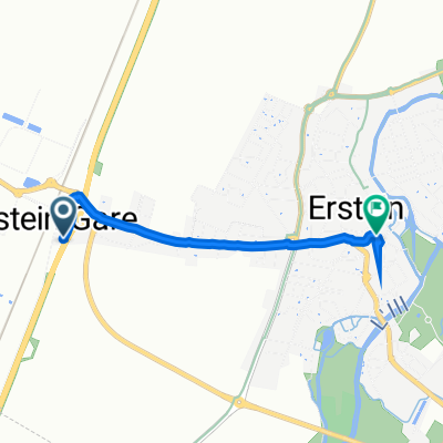
De Rue Brûlée 18, Erstein à Weidenweg 21, Ettenheim
Cycling route in Erstein, Grand Est, France
- 36.3 km
- Distance
- 82 m
- Ascent
- 64 m
- Descent

Discover more routes
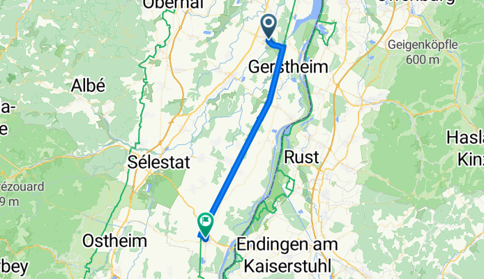
 Rue du Muhlbach 2, Erstein nach Rue du Mal Foch 30, Marckolsheim
- Distance
- 33 km
- Ascent
- 42 m
- Descent
- 18 m
- Location
- Erstein, Grand Est, France
 Premier 10km
- Distance
- 10.1 km
- Ascent
- 20 m
- Descent
- 14 m
- Location
- Erstein, Grand Est, France
 Tour samedi aprêm
- Distance
- 68.9 km
- Ascent
- 690 m
- Descent
- 691 m
- Location
- Erstein, Grand Est, France
 Rue Mercière 1, Erstein nach Rue du Général Gouraud 86, Obernai
- Distance
- 117.3 km
- Ascent
- 423 m
- Descent
- 393 m
- Location
- Erstein, Grand Est, France
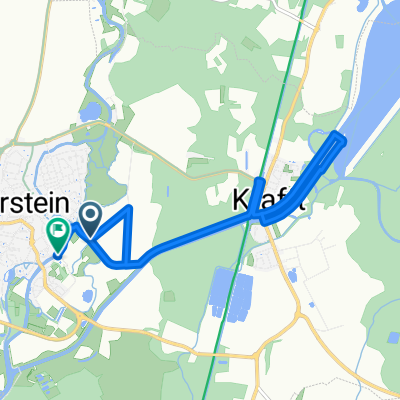
 2 Route Nationale, Erstein à 7 Rue de la Poste, Erstein
- Distance
- 2.4 km
- Ascent
- 6 m
- Descent
- 14 m
- Location
- Erstein, Grand Est, France
 De 34 Rue de la Bourgogne, Erstein à 16–19 Rue de Bindernheim, Witternheim
- Distance
- 19.2 km
- Ascent
- 41 m
- Descent
- 30 m
- Location
- Erstein, Grand Est, France
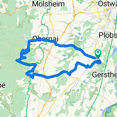
 Champ du feu par Villé
- Distance
- 102 km
- Ascent
- 1,063 m
- Descent
- 1,060 m
- Location
- Erstein, Grand Est, France
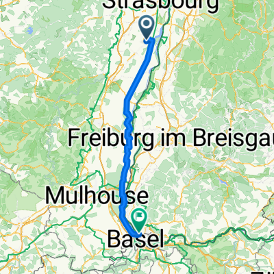 Erstein - weil am rhein
- Distance
- 115.3 km
- Ascent
- 228 m
- Descent
- 111 m
- Location
- Erstein, Grand Est, France