
Cycling in Dossenheim-sur-Zinsel
Discover a map of 16 cycling routes and bike trails near Dossenheim-sur-Zinsel, created by our community.
Region portrait
Get to know Dossenheim-sur-Zinsel
Find the right bike route for you through Dossenheim-sur-Zinsel, where we've got 16 cycle routes to explore.
1,461 km
Tracked distance
16
Cycle routes
1,146
Population
Community
Most active users in Dossenheim-sur-Zinsel


From our community
The best bike routes in and around Dossenheim-sur-Zinsel

B/F Dossenheim-sur-Zinsel - Bouxwiller
Cycling route in Dossenheim-sur-Zinsel, Grand Est, France
- 8.9 km
- Distance
- 59 m
- Ascent
- 47 m
- Descent

Von Dossenheim nach Saargemünd
Cycling route in Dossenheim-sur-Zinsel, Grand Est, France
Vom Unterelsass durch das krumme Elsass nach Saargemünd (Lothringen)
Überwiegend kleine Straßen, zum Schluss Radweg am Saarkanal; Anschluss nach Saarbrücken, auch mit der Saarbahn
- 61.8 km
- Distance
- 456 m
- Ascent
- 441 m
- Descent

Archäologischer Rundwanderweg / Circuit archéologique
Cycling route in Dossenheim-sur-Zinsel, Grand Est, France
Beschreibung Der archeologische Rundwanderweg auf den Anhöhen von Ernolsheim und Saint-Jean-Saverne verbindet die wichtigsten Anlagen protohistorischer und historischer Zeit, die zur Überwachung der nördlichen Übergangstrasse der Zaberner Vogesen errichtet wurden. Archäologische Forschungen und Denkmalschutz sichern das historische Interesse einer Besichtigung. Schwierigkeit: leicht Strecke: 9,1 km Aufstieg: 282 m Abstieg: 282 m Dauer: 2:30 h Niedrigster Punkt: 228 m Höchster Punkt: 420 m (cloned from route 2958467)
- 9.1 km
- Distance
- 349 m
- Ascent
- 349 m
- Descent

44km 550 M Hattmatt Elzas
Cycling route in Dossenheim-sur-Zinsel, Grand Est, France
- 43.7 km
- Distance
- 458 m
- Ascent
- 462 m
- Descent
Discover more routes
 JOUR 1
- Distance
- 223.7 km
- Ascent
- 3,899 m
- Descent
- 3,628 m
- Location
- Dossenheim-sur-Zinsel, Grand Est, France
 2006_Hattmatt_Runde 2
- Distance
- 59.3 km
- Ascent
- 488 m
- Descent
- 488 m
- Location
- Dossenheim-sur-Zinsel, Grand Est, France
 Route im SchneckeDossenheim-sur-Zinsel - BUCHS
- Distance
- 260 km
- Ascent
- 1,082 m
- Descent
- 1,271 m
- Location
- Dossenheim-sur-Zinsel, Grand Est, France
 2006_Hattmatt_Cosswiller
- Distance
- 73 km
- Ascent
- 384 m
- Descent
- 327 m
- Location
- Dossenheim-sur-Zinsel, Grand Est, France
 2006_Hattmatt_Runde 1
- Distance
- 57.3 km
- Ascent
- 429 m
- Descent
- 430 m
- Location
- Dossenheim-sur-Zinsel, Grand Est, France
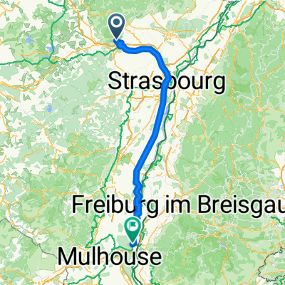 Dossenheim-sur-Zinsel - Bantzenheim
- Distance
- 145.5 km
- Ascent
- 278 m
- Descent
- 270 m
- Location
- Dossenheim-sur-Zinsel, Grand Est, France
 78 Grand Rue, Dossenheim-sur-Zinsel à 78 Grand Rue, Dossenheim-sur-Zinsel
- Distance
- 87.1 km
- Ascent
- 1,670 m
- Descent
- 1,670 m
- Location
- Dossenheim-sur-Zinsel, Grand Est, France
 CIRCUITS ASCENSION OPTION JOUR 3
- Distance
- 54.6 km
- Ascent
- 310 m
- Descent
- 357 m
- Location
- Dossenheim-sur-Zinsel, Grand Est, France