
Cycling in Cunlhat
Discover a map of 27 cycling routes and bike trails near Cunlhat, created by our community.
Region portrait
Get to know Cunlhat
Find the right bike route for you through Cunlhat, where we've got 27 cycle routes to explore. Most people get on their bikes to ride here in the month of July.
1,610 km
Tracked distance
27
Cycle routes
1,418
Population
Community
Most active users in Cunlhat


Handpicked routes
Discover Cunlhat through these collections
Tour
From our community
The best bike routes in and around Cunlhat

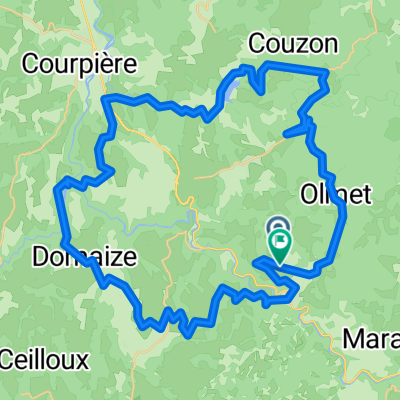
Jour 1 Domaize à Chatel
Cycling route in Cunlhat, Auvergne-Rhône-Alpes, France
- 103.3 km
- Distance
- 479 m
- Ascent
- 806 m
- Descent

De Route des Scieurs de Long 19, Saint-Éloy-la-Glacière à Chemin de Montfort 3, Le Vernet-Chaméane
Cycling route in Cunlhat, Auvergne-Rhône-Alpes, France
- 18.2 km
- Distance
- 483 m
- Ascent
- 586 m
- Descent

8. Culnhat to Thiers
Cycling route in Cunlhat, Auvergne-Rhône-Alpes, France
- 37.2 km
- Distance
- 129 m
- Ascent
- 525 m
- Descent

dag 1 ollier
Cycling route in Cunlhat, Auvergne-Rhône-Alpes, France
- 55.7 km
- Distance
- 1,188 m
- Ascent
- 1,177 m
- Descent
Discover more routes
 V2 Cunlhat - Nonette
- Distance
- 41 km
- Ascent
- 482 m
- Descent
- 782 m
- Location
- Cunlhat, Auvergne-Rhône-Alpes, France
 dag 2 ollier
- Distance
- 55 km
- Ascent
- 1,003 m
- Descent
- 1,002 m
- Location
- Cunlhat, Auvergne-Rhône-Alpes, France
 dag 2 altenatief
- Distance
- 52.2 km
- Ascent
- 896 m
- Descent
- 867 m
- Location
- Cunlhat, Auvergne-Rhône-Alpes, France
 St-Amant-Roche-Savine -Pierre sur Haute
- Distance
- 73.4 km
- Ascent
- 1,390 m
- Descent
- 1,159 m
- Location
- Cunlhat, Auvergne-Rhône-Alpes, France
 Olliergues to Le Mayet du Montagne...
- Distance
- 67.4 km
- Ascent
- 936 m
- Descent
- 831 m
- Location
- Cunlhat, Auvergne-Rhône-Alpes, France
 Cunlhat - Nonette
- Distance
- 48 km
- Ascent
- 532 m
- Descent
- 831 m
- Location
- Cunlhat, Auvergne-Rhône-Alpes, France
 Chemintrand, Dansadoux, Pramort
- Distance
- 97.4 km
- Ascent
- 1,423 m
- Descent
- 1,427 m
- Location
- Cunlhat, Auvergne-Rhône-Alpes, France
 dag 2 olliergues
- Distance
- 56.9 km
- Ascent
- 967 m
- Descent
- 935 m
- Location
- Cunlhat, Auvergne-Rhône-Alpes, France