Cycling in Cocheren
Discover a map of 30 cycling routes and bike trails near Cocheren, created by our community.
Region portrait
Get to know Cocheren
Find the right bike route for you through Cocheren, where we've got 30 cycle routes to explore.
945 km
Tracked distance
30
Cycle routes
3,378
Population
Community
Most active users in Cocheren
From our community
The best bike routes in and around Cocheren
20170402_082718.gpx
Cycling route in Cocheren, Grand Est, France
- 39.1 km
- Distance
- 471 m
- Ascent
- 471 m
- Descent
20170319_083921.gpx
Cycling route in Cocheren, Grand Est, France
- 33.8 km
- Distance
- 416 m
- Ascent
- 420 m
- Descent
Sortie 11novembre.gpx
Cycling route in Cocheren, Grand Est, France
- 21.2 km
- Distance
- 335 m
- Ascent
- 336 m
- Descent
Modif sortie 17/07/16 .gpx
Cycling route in Cocheren, Grand Est, France
- 40.3 km
- Distance
- 444 m
- Ascent
- 444 m
- Descent
Discover more routes
 04/09/2016 Lauterbach.gpx
- Distance
- 34.2 km
- Ascent
- 408 m
- Descent
- 409 m
- Location
- Cocheren, Grand Est, France
 20160904_083026.gpx
- Distance
- 34.1 km
- Ascent
- 394 m
- Descent
- 393 m
- Location
- Cocheren, Grand Est, France
 Moderate route in Morsbach
- Distance
- 4.9 km
- Ascent
- 66 m
- Descent
- 31 m
- Location
- Cocheren, Grand Est, France
 Modif rando morsbach
- Distance
- 34.1 km
- Ascent
- 422 m
- Descent
- 423 m
- Location
- Cocheren, Grand Est, France
 Calyspo modifier 42km
- Distance
- 41.8 km
- Ascent
- 417 m
- Descent
- 415 m
- Location
- Cocheren, Grand Est, France
 Eis, Großrosseln
- Distance
- 9.9 km
- Ascent
- 106 m
- Descent
- 102 m
- Location
- Cocheren, Grand Est, France
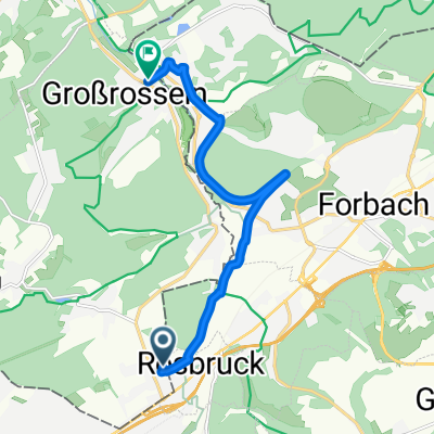
 Gemütliche Route in Großrosseln
- Distance
- 5.4 km
- Ascent
- 273 m
- Descent
- 242 m
- Location
- Cocheren, Grand Est, France
 calypso 2
- Distance
- 43.3 km
- Ascent
- 447 m
- Descent
- 444 m
- Location
- Cocheren, Grand Est, France


