
Cycling in Châtel
Discover a map of 53 cycling routes and bike trails near Châtel, created by our community.
Region portrait
Get to know Châtel
Find the right bike route for you through Châtel, where we've got 53 cycle routes to explore. Most people get on their bikes to ride here in the months of May and July.
5,930 km
Tracked distance
53
Cycle routes
1,309
Population
Community
Most active users in Châtel


From our community
The best bike routes in and around Châtel

odcinek 1: La Chapelle-Bulle-Marly
Cycling route in Châtel, Auvergne-Rhône-Alpes, France
La Chapelle-Vevey-Bulle-Gruyeres-Farvagny-Marly
137km
- 136.7 km
- Distance
- 1,143 m
- Ascent
- 1,529 m
- Descent
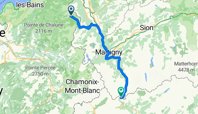
wypad wloski cz.1
Cycling route in Châtel, Auvergne-Rhône-Alpes, France
Od La Chapelle do Wielkiej Przełęczy Św. Bernarda
- 94.4 km
- Distance
- 2,483 m
- Ascent
- 1,054 m
- Descent

140 Route des Moulins, La Chapelle-d'Abondance to Route Forestière 42, Troistorrents
Cycling route in Châtel, Auvergne-Rhône-Alpes, France
- 16.5 km
- Distance
- 4,574 m
- Ascent
- 4,456 m
- Descent

Chatel Gravel
Cycling route in Châtel, Auvergne-Rhône-Alpes, France
- 64.9 km
- Distance
- 1,713 m
- Ascent
- 1,713 m
- Descent
Discover more routes
 chatel gravel 54x1950
- Distance
- 55.6 km
- Ascent
- 1,761 m
- Descent
- 1,794 m
- Location
- Châtel, Auvergne-Rhône-Alpes, France
 1 FR - Evian-les-Bains, Thonon-les-Bains, YVOIRE, T., E.
- Distance
- 124.4 km
- Ascent
- 1,005 m
- Descent
- 1,002 m
- Location
- Châtel, Auvergne-Rhône-Alpes, France
 Col du Bassachaux
- Distance
- 14.7 km
- Ascent
- 752 m
- Descent
- 4 m
- Location
- Châtel, Auvergne-Rhône-Alpes, France
 Alpentour '98/Etappe 3: LaChapelle - Vinzier - Evian - Thonon - Armoy - LaChapelle
- Distance
- 106.9 km
- Ascent
- 1,173 m
- Descent
- 1,170 m
- Location
- Châtel, Auvergne-Rhône-Alpes, France
 Alpentour '98/Etappe 5: LaChapelle - Corbier - Joux Verte/Avoriaz - Corbier - LaChapelle
- Distance
- 92.9 km
- Ascent
- 2,089 m
- Descent
- 2,088 m
- Location
- Châtel, Auvergne-Rhône-Alpes, France
 La Chapelle-dÀbondance - Genf
- Distance
- 82.2 km
- Ascent
- 460 m
- Descent
- 1,122 m
- Location
- Châtel, Auvergne-Rhône-Alpes, France
 Abondance 100km mit See
- Distance
- 104.4 km
- Ascent
- 1,119 m
- Descent
- 1,119 m
- Location
- Châtel, Auvergne-Rhône-Alpes, France
 Abondance, Corbier, Joux Plane, Ramaz, Jambaz
- Distance
- 160.2 km
- Ascent
- 3,220 m
- Descent
- 3,220 m
- Location
- Châtel, Auvergne-Rhône-Alpes, France