
Cycling in Chapdes-Beaufort
Discover a map of 18 cycling routes and bike trails near Chapdes-Beaufort, created by our community.
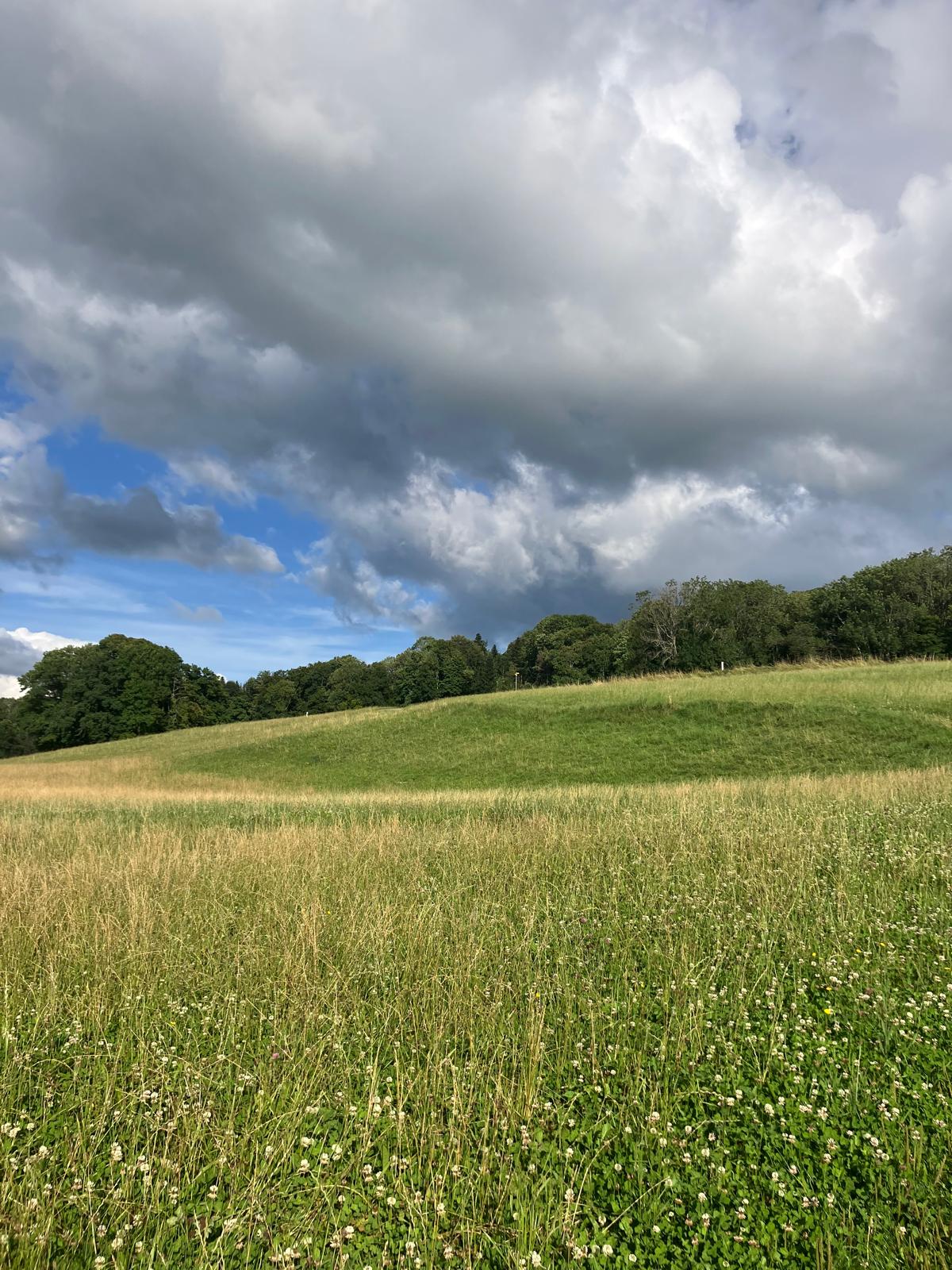
Region portrait
Get to know Chapdes-Beaufort
Find the right bike route for you through Chapdes-Beaufort, where we've got 18 cycle routes to explore. Most people get on their bikes to ride here in the month of August.
291 km
Tracked distance
18
Cycle routes
1,008
Population


From our community
The best bike routes in and around Chapdes-Beaufort

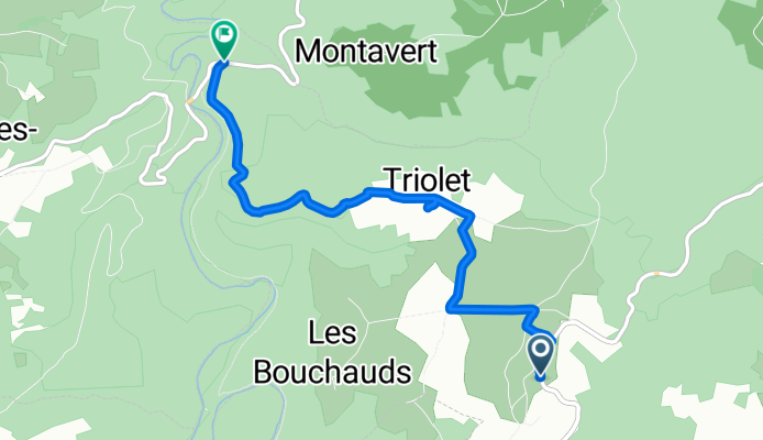
blanchet - la goutelle
Cycling route in Chapdes-Beaufort, Auvergne-Rhône-Alpes, France
- 12.7 km
- Distance
- 415 m
- Ascent
- 518 m
- Descent

De 27 Rue de la Chartreuse, Chapdes-Beaufort à D418, Chapdes-Beaufort
Cycling route in Chapdes-Beaufort, Auvergne-Rhône-Alpes, France
- 4.5 km
- Distance
- 43 m
- Ascent
- 122 m
- Descent

De D418, Chapdes-Beaufort à 9bis Rue de la Chartreuse, Chapdes-Beaufort
Cycling route in Chapdes-Beaufort, Auvergne-Rhône-Alpes, France
- 4.4 km
- Distance
- 131 m
- Ascent
- 64 m
- Descent
De D418, Chapdes-Beaufort à D61, Chapdes-Beaufort
Cycling route in Chapdes-Beaufort, Auvergne-Rhône-Alpes, France
- 4.6 km
- Distance
- 45 m
- Ascent
- 213 m
- Descent
Discover more routes
 Recovered Route
- Distance
- 6.5 km
- Ascent
- 81 m
- Descent
- 96 m
- Location
- Chapdes-Beaufort, Auvergne-Rhône-Alpes, France
 De D418, Chapdes-Beaufort à D418, Chapdes-Beaufort
- Distance
- 1.3 km
- Ascent
- 17 m
- Descent
- 75 m
- Location
- Chapdes-Beaufort, Auvergne-Rhône-Alpes, France
 Chapdes-Beaufort via Trimoulet
- Distance
- 10.9 km
- Ascent
- 231 m
- Descent
- 232 m
- Location
- Chapdes-Beaufort, Auvergne-Rhône-Alpes, France
 2017-10-31 15:38:25
- Distance
- 43.9 km
- Ascent
- 692 m
- Descent
- 686 m
- Location
- Chapdes-Beaufort, Auvergne-Rhône-Alpes, France
 De D418, Chapdes-Beaufort à Pont du Bouchet, Miremont
- Distance
- 12.2 km
- Ascent
- 73 m
- Descent
- 262 m
- Location
- Chapdes-Beaufort, Auvergne-Rhône-Alpes, France
 De D418, Montfermy à D418, Chapdes-Beaufort
- Distance
- 2.6 km
- Ascent
- 142 m
- Descent
- 0 m
- Location
- Chapdes-Beaufort, Auvergne-Rhône-Alpes, France
 Itinéraire vers D418, Chapdes-Beaufort
- Distance
- 3.3 km
- Ascent
- 165 m
- Descent
- 16 m
- Location
- Chapdes-Beaufort, Auvergne-Rhône-Alpes, France
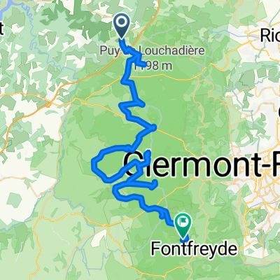 Chapdes-Beaufort - Sant Genèst de Champanèla
- Distance
- 62 km
- Ascent
- 1,175 m
- Descent
- 1,126 m
- Location
- Chapdes-Beaufort, Auvergne-Rhône-Alpes, France