
Cycling in Blagny
Discover a map of 11 cycling routes and bike trails near Blagny, created by our community.
Region portrait
Get to know Blagny
Find the right bike route for you through Blagny, where we've got 11 cycle routes to explore.
643 km
Tracked distance
11
Cycle routes
1,267
Population
Community
Most active users in Blagny


From our community
The best bike routes in and around Blagny


MONT SAINT-WALFROY, por Margut
Cycling route in Blagny, Grand Est, France
- 2.3 km
- Distance
- 178 m
- Ascent
- 9 m
- Descent

D2 Villers devant Orval-Toul Ma 5-6-2017
Cycling route in Blagny, Grand Est, France
- 168.7 km
- Distance
- 726 m
- Ascent
- 708 m
- Descent
Discover more routes
 De Grande Rue, Auflance à 20 Avenue du Maréchal Leclerc, Sedan
- Distance
- 32.7 km
- Ascent
- 479 m
- Descent
- 512 m
- Location
- Blagny, Grand Est, France
 Place du Moulin naar Rue des Iles
- Distance
- 73.9 km
- Ascent
- 1,351 m
- Descent
- 1,242 m
- Location
- Blagny, Grand Est, France
 De 18 Rue Principale, Puilly-et-Charbeaux à 35 Route de Blanchampagne, Sailly
- Distance
- 9 km
- Ascent
- 96 m
- Descent
- 141 m
- Location
- Blagny, Grand Est, France
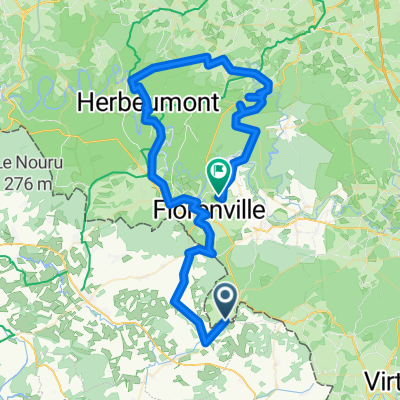
 De D17, Puilly-et-Charbeaux à Chamleux 5, Florenville
- Distance
- 7 km
- Ascent
- 129 m
- Descent
- 104 m
- Location
- Blagny, Grand Est, France
 BTour 4
- Distance
- 80.7 km
- Ascent
- 1,755 m
- Descent
- 1,596 m
- Location
- Blagny, Grand Est, France
 De 35 Route de Blanchampagne, Sailly à 20 Rue Principale, Puilly-et-Charbeaux
- Distance
- 8.9 km
- Ascent
- 143 m
- Descent
- 97 m
- Location
- Blagny, Grand Est, France
 15 Rue Principale, La Ferté-sur-Chiers naar Orval 3, Florenville
- Distance
- 12.4 km
- Ascent
- 495 m
- Descent
- 449 m
- Location
- Blagny, Grand Est, France