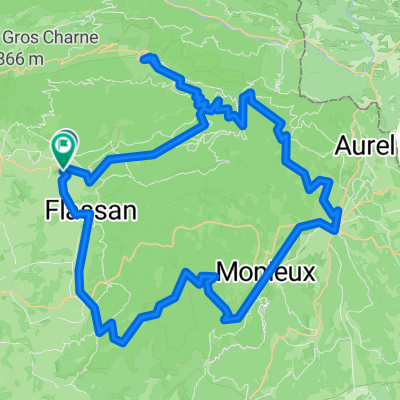
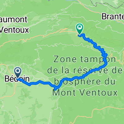
- 39.6 km
- 720 m
- 718 m
- Bédoin, Provence-Alpes-Côte d'Azur Region, France

Cycling in Bédoin
Discover a map of 1,194 cycling routes and bike trails near Bédoin, created by our community.
Region portrait
Get to know Bédoin
Find the right bike route for you through Bédoin, where we've got 1,194 cycle routes to explore. Most people get on their bikes to ride here in the months of July and August.
89,519 km
Tracked distance
1,194
Cycle routes
3,016
Population
Handpicked routes
Discover Bédoin through these collections
 Tour
Tour Tour
Tour
From our community
The best bike routes in and around Bédoin
Allée des Cistes nach Avenue de l'Europe
Cycling route in Bédoin, Provence-Alpes-Côte d'Azur Region, France
- 13.2 km
- Distance
- 140 m
- Ascent
- 318 m
- Descent
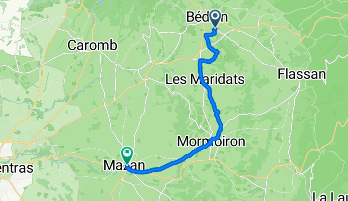
Chemin des Crans, Bédoin to Cours de la République, Caromb
Cycling route in Bédoin, Provence-Alpes-Côte d'Azur Region, France
- 8.7 km
- Distance
- 87 m
- Ascent
- 185 m
- Descent
D 138, Crillon-le-Brave à Rue de la Porte Gérain, Crillon-le-Brave
Cycling route in Bédoin, Provence-Alpes-Côte d'Azur Region, France
- 28.6 km
- Distance
- 336 m
- Ascent
- 315 m
- Descent
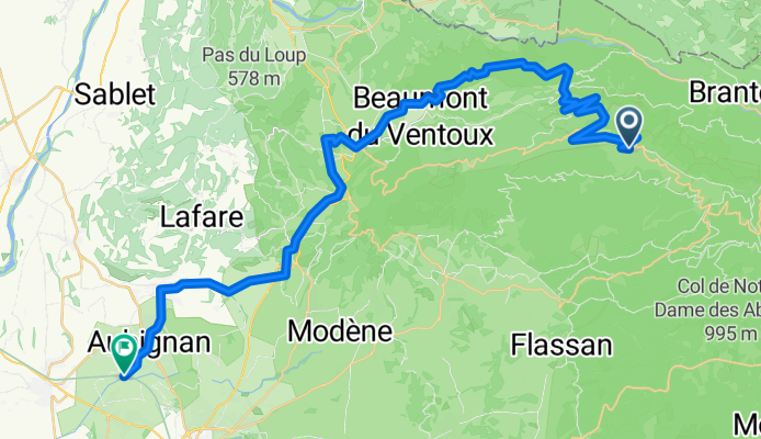
13 Mont-ventoux - Malaucene - Aubignan
Cycling route in Bédoin, Provence-Alpes-Côte d'Azur Region, France
- 45.1 km
- Distance
- 848 m
- Ascent
- 2,667 m
- Descent
Discover more routes
- Route in Bédoin
- Route in Bédoin
- 80.6 km
- 3,078 m
- 3,085 m
- Bédoin, Provence-Alpes-Côte d'Azur Region, France
- Bedoin - Ventoux 44k 1700 HM
- 22 km
- 1,669 m
- 102 m
- Bédoin, Provence-Alpes-Côte d'Azur Region, France
- Mont Ventoux
- 56.1 km
- 1,714 m
- 1,711 m
- Bédoin, Provence-Alpes-Côte d'Azur Region, France
- Bedoin - Mt. Ventoux
- 21.1 km
- 1,595 m
- 127 m
- Bédoin, Provence-Alpes-Côte d'Azur Region, France
- Bedoin Durch Die Dentelles de Montmirail*
- 42.7 km
- 580 m
- 573 m
- Bédoin, Provence-Alpes-Côte d'Azur Region, France
- P40 Tour 4 - Mont Ventoux
- 54.6 km
- 1,673 m
- 1,673 m
- Bédoin, Provence-Alpes-Côte d'Azur Region, France
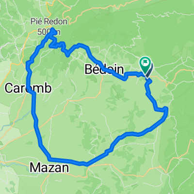
- Bedoin-Garomb
- 21.4 km
- 374 m
- 374 m
- Bédoin, Provence-Alpes-Côte d'Azur Region, France
Routes from Bédoin
Cycling day trip from
Bédoin to Sault
By bicycle from
Bédoin to Malaucène
Routes to Bédoin
Cycling day trip from
Sault to Bédoin
Cycling day trip from
Avignon to Bédoin
By bicycle from
Malaucène to Bédoin


