
Cycling in Andlau
Discover a map of 114 cycling routes and bike trails near Andlau, created by our community.
Region portrait
Get to know Andlau
Find the right bike route for you through Andlau, where we've got 114 cycle routes to explore. Most people get on their bikes to ride here in the months of April and May.
4,660 km
Tracked distance
114
Cycle routes
1,819
Population
Community
Most active users in Andlau


From our community
The best bike routes in and around Andlau

Itterswiller - Obernai
Cycling route in Andlau, Grand Est, France
- 32.4 km
- Distance
- 322 m
- Ascent
- 322 m
- Descent
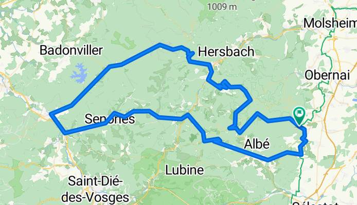
Hochebene Champ du feu
Cycling route in Andlau, Grand Est, France
- 142.7 km
- Distance
- 1,783 m
- Ascent
- 1,783 m
- Descent


Weinrote 2 / Eichhoffen-Andlau (siehe Höhen)Scherwiler-Ebersheim-Kogenheim-EPFIG (!!!) - Auto
Cycling route in Andlau, Grand Est, France
- 44.7 km
- Distance
- 173 m
- Ascent
- 177 m
- Descent
Discover more routes
 Barr -Col de Fouchy - Barr
- Distance
- 68.5 km
- Ascent
- 887 m
- Descent
- 919 m
- Location
- Andlau, Grand Est, France
 F_Vogesen_MTB-Downhill-Tour-1-Andlau_RR-29,6km-890hm
- Distance
- 29.6 km
- Ascent
- 854 m
- Descent
- 863 m
- Location
- Andlau, Grand Est, France
 Vogesen -Andlau
- Distance
- 49.1 km
- Ascent
- 1,663 m
- Descent
- 1,627 m
- Location
- Andlau, Grand Est, France
 Le Hohwald-selestad
- Distance
- 49.9 km
- Ascent
- 713 m
- Descent
- 1,127 m
- Location
- Andlau, Grand Est, France
 Mont St. Odile
- Distance
- 61.6 km
- Ascent
- 1,238 m
- Descent
- 1,221 m
- Location
- Andlau, Grand Est, France
 Andlau ,St. Maurice ,Le Hohwald , St Odile
- Distance
- 57.7 km
- Ascent
- 1,044 m
- Descent
- 1,039 m
- Location
- Andlau, Grand Est, France
 Andlau 52km 210m
- Distance
- 51.8 km
- Ascent
- 175 m
- Descent
- 175 m
- Location
- Andlau, Grand Est, France
 De 1 Route du Hohwald, Eichhoffen à D603, Eichhoffen
- Distance
- 1.3 km
- Ascent
- 32 m
- Descent
- 0 m
- Location
- Andlau, Grand Est, France