Cycling in Zalalövő
Discover a map of 882 cycling routes and bike trails near Zalalövő, created by our community.
Region portrait
Get to know Zalalövő
Find the right bike route for you through Zalalövő, where we've got 882 cycle routes to explore. Most people get on their bikes to ride here in the months of July and August.
61,159 km
Tracked distance
882
Cycle routes
3,195
Population
Handpicked routes
Discover Zalalövő through these collections
Tour
From our community
The best bike routes in and around Zalalövő
Vendvidék - Goricko kör
Cycling route in Zalalövő, Zala County, Hungary
- 85.6 km
- Distance
- 632 m
- Ascent
- 619 m
- Descent
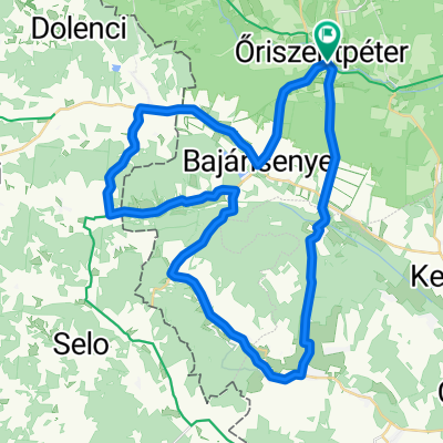
Öriszentpéter - északnyugati hurok
Cycling route in Zalalövő, Zala County, Hungary
- 40.6 km
- Distance
- 397 m
- Ascent
- 397 m
- Descent
Discover more routes
 Túra a Bakonaki-tóhoz
- Distance
- 72.2 km
- Ascent
- 546 m
- Descent
- 547 m
- Location
- Zalalövő, Zala County, Hungary
 Nemzeti Összetartozás Napja 2017. (Őrség - Goricko)
- Distance
- 49.5 km
- Ascent
- 344 m
- Descent
- 360 m
- Location
- Zalalövő, Zala County, Hungary
 Oriszentpeter 1
- Distance
- 47.7 km
- Ascent
- 355 m
- Descent
- 355 m
- Location
- Zalalövő, Zala County, Hungary
 Őrség 1 Kerékpárútvonal
- Distance
- 33.8 km
- Ascent
- 241 m
- Descent
- 246 m
- Location
- Zalalövő, Zala County, Hungary
 Őriszentpéter Hársas tó 34km
- Distance
- 34.6 km
- Ascent
- 505 m
- Descent
- 507 m
- Location
- Zalalövő, Zala County, Hungary
 Túra a Déli Védelmi Rendszer mentén
- Distance
- 157.6 km
- Ascent
- 801 m
- Descent
- 891 m
- Location
- Zalalövő, Zala County, Hungary
 Őriszentpétertől dékeletre 28km
- Distance
- 28 km
- Ascent
- 203 m
- Descent
- 201 m
- Location
- Zalalövő, Zala County, Hungary
 Őrség túra 62km
- Distance
- 61.6 km
- Ascent
- 270 m
- Descent
- 260 m
- Location
- Zalalövő, Zala County, Hungary
Routes from Zalalövő
Cycling day trip from
Zalalövő to Szentgotthárd
Routes to Zalalövő
Cycling day trip from
Zalaegerszeg to Zalalövő
Cycling day trip from
Szentgotthárd to Zalalövő


