Tavaszi bemelegítés Igal-Mernye-Igal
- 12.5 km
- 142 m
- 163 m
- Taszár, Somogy County, Hungary

Discover a map of 53 cycling routes and bike trails near Taszár, created by our community.
Region portrait
Find the right bike route for you through Taszár, where we've got 53 cycle routes to explore.
2,879 km
Tracked distance
53
Cycle routes
2,013
Population
Community
From our community
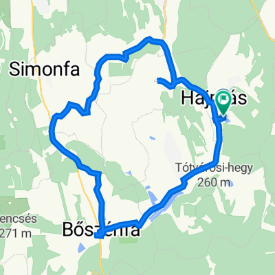
Cycling route in Taszár, Somogy County, Hungary
Cycling route in Taszár, Somogy County, Hungary
Cycling route in Taszár, Somogy County, Hungary
Cycling route in Taszár, Somogy County, Hungary