Cycling in Vågåmo
Discover a map of 90 cycling routes and bike trails near Vågåmo, created by our community.
Region portrait
Get to know Vågåmo
Find the right bike route for you through Vågåmo, where we've got 90 cycle routes to explore. Most people get on their bikes to ride here in the months of June and July.
6,329 km
Tracked distance
90
Cycle routes
1,463
Population
Community
Most active users in Vågåmo
Handpicked routes
Discover Vågåmo through these collections
Tour
From our community
The best bike routes in and around Vågåmo
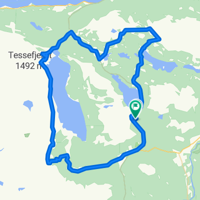
Randsverk-Tesse-Randsverk - roundtrip
Cycling route in Vågåmo, Oppland, Norway
- 39.6 km
- Distance
- 581 m
- Ascent
- 592 m
- Descent
Lemonsjøen - Espedalen - Lillehammer
Cycling route in Vågåmo, Oppland, Norway
- 194.5 km
- Distance
- 1,302 m
- Ascent
- 1,999 m
- Descent
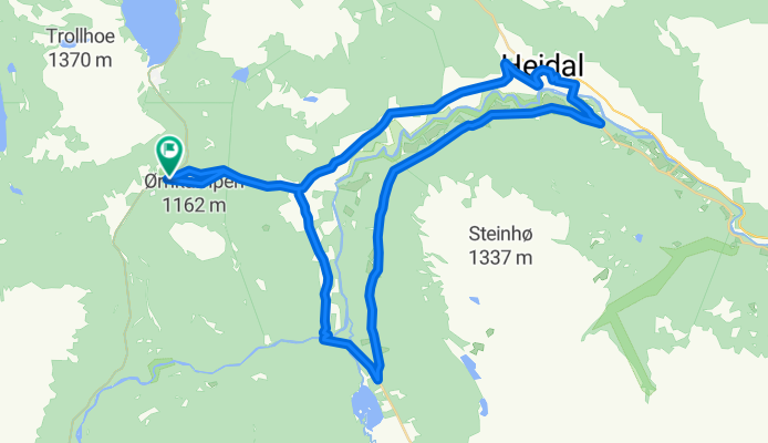
Randsverk-Murudal-Heidal-Randsverk
Cycling route in Vågåmo, Oppland, Norway
- 39.9 km
- Distance
- 831 m
- Ascent
- 828 m
- Descent
9A. Vågåmo - Ringebu (hill / Long route)
Cycling route in Vågåmo, Oppland, Norway
- 163.6 km
- Distance
- 0 m
- Ascent
- 0 m
- Descent
Discover more routes
 Randsverk-Murudal-Skåbu-Nyseter-Randsverk
- Distance
- 98 km
- Ascent
- 1,470 m
- Descent
- 1,467 m
- Location
- Vågåmo, Oppland, Norway
 NOR 008: Vagamo 3
- Distance
- 61.6 km
- Ascent
- 0 m
- Descent
- 0 m
- Location
- Vågåmo, Oppland, Norway
 NOR 007: Vagamo 2
- Distance
- 61.5 km
- Ascent
- 0 m
- Descent
- 0 m
- Location
- Vågåmo, Oppland, Norway
 NOR 006: Vagamo 1
- Distance
- 98 km
- Ascent
- 0 m
- Descent
- 0 m
- Location
- Vågåmo, Oppland, Norway
 Mjølkevegen
- Distance
- 234.2 km
- Ascent
- 1,811 m
- Descent
- 2,188 m
- Location
- Vågåmo, Oppland, Norway
 9C. Vågåmo - Base of Synshorn
- Distance
- 79.5 km
- Ascent
- 0 m
- Descent
- 0 m
- Location
- Vågåmo, Oppland, Norway
 Lemonsjoen Dovre
- Distance
- 51.3 km
- Ascent
- 831 m
- Descent
- 861 m
- Location
- Vågåmo, Oppland, Norway
 norge O bm partim VALDRESFLYA H+T
- Distance
- 64.9 km
- Ascent
- 397 m
- Descent
- 397 m
- Location
- Vågåmo, Oppland, Norway


