
Cycling in Prestestranda
Discover a map of 12 cycling routes and bike trails near Prestestranda, created by our community.
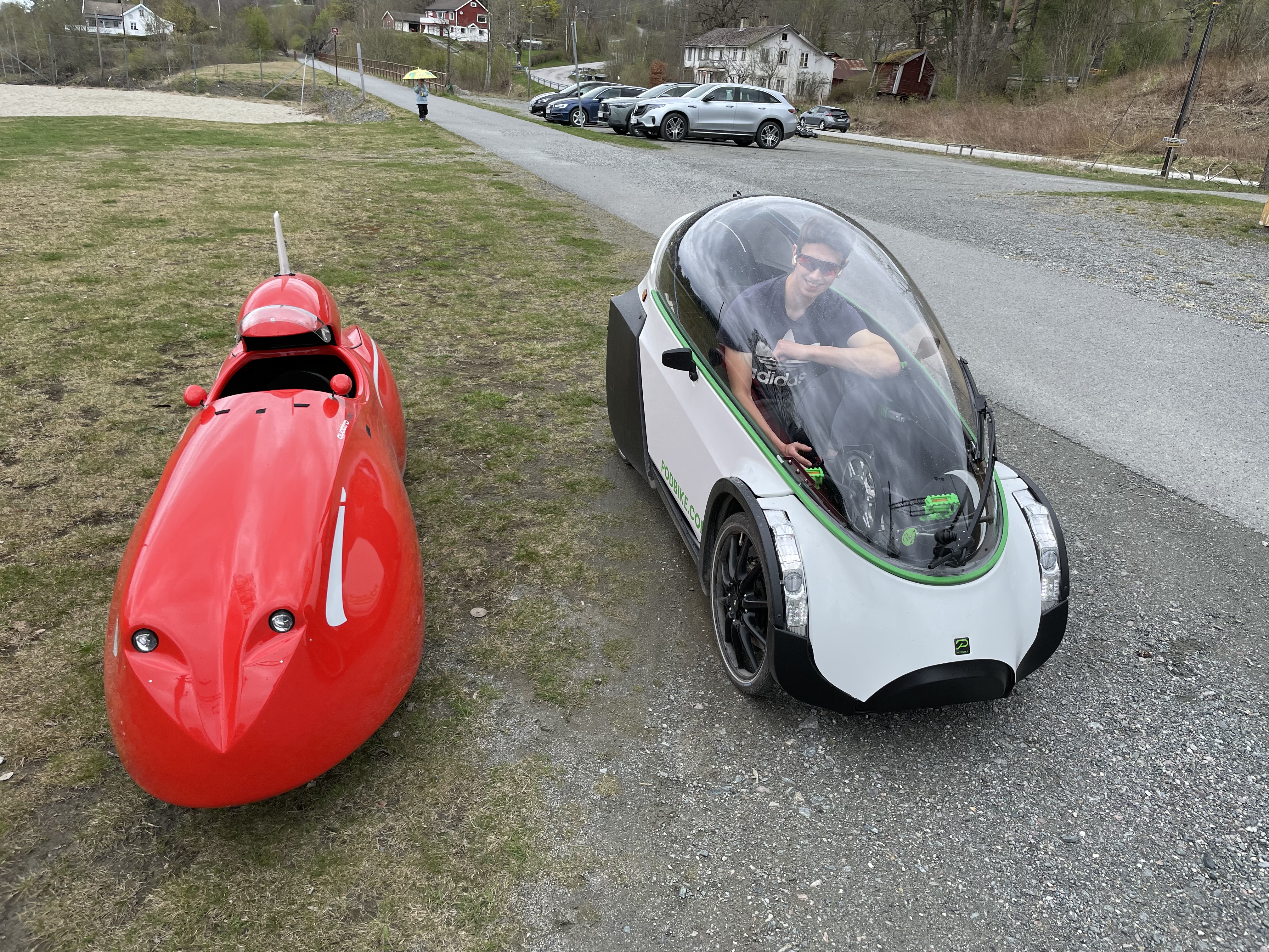
Region portrait
Get to know Prestestranda
Find the right bike route for you through Prestestranda, where we've got 12 cycle routes to explore.
914 km
Tracked distance
12
Cycle routes
1,215
Population
Community
Most active users in Prestestranda


From our community
The best bike routes in and around Prestestranda


Drangedal 10-årige skole to Ettestadveien 582
Cycling route in Prestestranda, Telemark, Norway
- 11.8 km
- Distance
- 129 m
- Ascent
- 146 m
- Descent

Drangedal - Kragerø
Cycling route in Prestestranda, Telemark, Norway
- 41.6 km
- Distance
- 302 m
- Ascent
- 372 m
- Descent

Sannidalrunden
Cycling route in Prestestranda, Telemark, Norway
- 77.6 km
- Distance
- 497 m
- Ascent
- 504 m
- Descent
Discover more routes
 Lundeheia
- Distance
- 52.3 km
- Ascent
- 545 m
- Descent
- 550 m
- Location
- Prestestranda, Telemark, Norway
 Route to Østsideveien 16, Svarstad
- Distance
- 142.6 km
- Ascent
- 1,675 m
- Descent
- 1,705 m
- Location
- Prestestranda, Telemark, Norway
 Drangedal-Lampeland dag 3
- Distance
- 150.7 km
- Ascent
- 1,026 m
- Descent
- 927 m
- Location
- Prestestranda, Telemark, Norway
 59.144° N 9.270° W to 59.281° N 9.268° W
- Distance
- 23.3 km
- Ascent
- 690 m
- Descent
- 780 m
- Location
- Prestestranda, Telemark, Norway
 drangedal-Kongsberg
- Distance
- 113.7 km
- Ascent
- 2,068 m
- Descent
- 1,989 m
- Location
- Prestestranda, Telemark, Norway
 Siljeveien 1 to Siljeveien 3
- Distance
- 52.3 km
- Ascent
- 509 m
- Descent
- 514 m
- Location
- Prestestranda, Telemark, Norway
 Drangedal-Grova t/r
- Distance
- 55.7 km
- Ascent
- 298 m
- Descent
- 307 m
- Location
- Prestestranda, Telemark, Norway
 Åsgrend
- Distance
- 125.8 km
- Ascent
- 1,487 m
- Descent
- 1,487 m
- Location
- Prestestranda, Telemark, Norway