
Cycling in Šentjur Municipality
Discover a map of 439 cycling routes and bike trails in Šentjur Municipality, created by our community.
Region portrait
Get to know Šentjur Municipality
Find the right bike route for you through Šentjur Municipality, where we've got 439 cycle routes to explore. Most people get on their bikes to ride here in the months of July and August.
27,625 km
Tracked distance
439
Cycle routes
Community
Most active users in Šentjur Municipality


From our community
The best bike routes in Šentjur Municipality

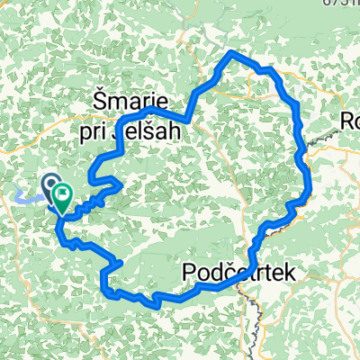
Slivniško jezero
Cycling route in Šentjur pri Celju, Šentjur Municipality, Slovenia
- 8.3 km
- Distance
- 224 m
- Ascent
- 223 m
- Descent

Kozjansko - Turistična (C)
Cycling route in Šentjur pri Celju, Šentjur Municipality, Slovenia
- 56.1 km
- Distance
- 891 m
- Ascent
- 890 m
- Descent

Okrog Slivniškega jezera s štartom in ciljem v Šentjurju pri OŠ FM
Cycling route in Šentjur pri Celju, Šentjur Municipality, Slovenia
- 18.2 km
- Distance
- 220 m
- Ascent
- 223 m
- Descent

Šentjur - Celjska koča čez Svetino, povratek čez brda nad Štorami
Cycling route in Šentjur pri Celju, Šentjur Municipality, Slovenia
- 45.3 km
- Distance
- 811 m
- Ascent
- 811 m
- Descent
Discover more routes
 Šentjur-šentrupert-laško-svetina-šentjur
- Distance
- 41.9 km
- Ascent
- 885 m
- Descent
- 885 m
- Location
- Šentjur pri Celju, Šentjur Municipality, Slovenia
 Route to Veržej
- Distance
- 83.5 km
- Ascent
- 856 m
- Descent
- 948 m
- Location
- Šentjur pri Celju, Šentjur Municipality, Slovenia
 Kozjanska 4
- Distance
- 59.2 km
- Ascent
- 559 m
- Descent
- 550 m
- Location
- Šentjur pri Celju, Šentjur Municipality, Slovenia
 Lažja Trnovlje- Šentjur
- Distance
- 36.8 km
- Ascent
- 135 m
- Descent
- 135 m
- Location
- Šentjur pri Celju, Šentjur Municipality, Slovenia
 Sotensko pod Kalobjem 3 nach Rifnik und zurück
- Distance
- 9.9 km
- Ascent
- 356 m
- Descent
- 357 m
- Location
- Šentjur pri Celju, Šentjur Municipality, Slovenia
 Gregor 11
- Distance
- 16.5 km
- Ascent
- 585 m
- Descent
- 591 m
- Location
- Šentjur pri Celju, Šentjur Municipality, Slovenia
 26: Planinski dom na Resevni – Planinski dom na Boču
- Distance
- 45.2 km
- Ascent
- 1,076 m
- Descent
- 1,051 m
- Location
- Šentjur pri Celju, Šentjur Municipality, Slovenia
 Kozjansko - Panoramska (B)
- Distance
- 45.1 km
- Ascent
- 1,083 m
- Descent
- 1,082 m
- Location
- Šentjur pri Celju, Šentjur Municipality, Slovenia
Cycling regions in Šentjur Municipality
Šentjur pri Celju
439 cycling routes
See where people are biking in Slovenia
Popular cycling regions in Slovenia

