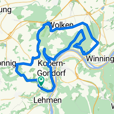
Cycling in Kobern-Gondorf
Discover a map of 55 cycling routes and bike trails near Kobern-Gondorf, created by our community.
Region portrait
Get to know Kobern-Gondorf
Find the right bike route for you through Kobern-Gondorf, where we've got 55 cycle routes to explore.
2,972 km
Tracked distance
55
Cycle routes
3,306
Population
Community
Most active users in Kobern-Gondorf
From our community
The best bike routes in and around Kobern-Gondorf
Koblenz 15km Moselaufwärts
Cycling route in Kobern-Gondorf, Rhineland-Palatinate, Germany
- 37.4 km
- Distance
- 111 m
- Ascent
- 119 m
- Descent
schöne tour nachgefahren 2
Cycling route in Kobern-Gondorf, Rhineland-Palatinate, Germany
- 30.7 km
- Distance
- 536 m
- Ascent
- 536 m
- Descent
Niederfell, Bachstr., Grillh., Bleidenb., Kelt. Mauer, Röder-Kap., AT Mönch-Felix-Hütte 24km 520Hm
Cycling route in Kobern-Gondorf, Rhineland-Palatinate, Germany
- 22.6 km
- Distance
- 662 m
- Ascent
- 664 m
- Descent
KOBERN - KOBLENZ & RETOUR
Cycling route in Kobern-Gondorf, Rhineland-Palatinate, Germany
- 17.6 km
- Distance
- 86 m
- Ascent
- 87 m
- Descent
Discover more routes
 Mosel-koblenz-Rijn
- Distance
- 47.3 km
- Ascent
- 347 m
- Descent
- 344 m
- Location
- Kobern-Gondorf, Rhineland-Palatinate, Germany
 Kobern Münstermaifeld Schrumpftal Kobern
- Distance
- 31.7 km
- Ascent
- 934 m
- Descent
- 939 m
- Location
- Kobern-Gondorf, Rhineland-Palatinate, Germany
 Kobern Gondorf - Trabentrarbach
- Distance
- 70 km
- Ascent
- 581 m
- Descent
- 566 m
- Location
- Kobern-Gondorf, Rhineland-Palatinate, Germany
 mtb kobern lonnig wolken gondorf
- Distance
- 29.8 km
- Ascent
- 590 m
- Descent
- 590 m
- Location
- Kobern-Gondorf, Rhineland-Palatinate, Germany
 Obermarkstraße 51, Kobern-Gondorf to Weinbergstraße 3, Moselkern
- Distance
- 16.9 km
- Ascent
- 277 m
- Descent
- 256 m
- Location
- Kobern-Gondorf, Rhineland-Palatinate, Germany
 mosel
mosel- Distance
- 195.6 km
- Ascent
- 286 m
- Descent
- 224 m
- Location
- Kobern-Gondorf, Rhineland-Palatinate, Germany
 Kehrhof, Kobern-Gondorf nach Kehrhof, Kobern-Gondorf
- Distance
- 43.4 km
- Ascent
- 398 m
- Descent
- 406 m
- Location
- Kobern-Gondorf, Rhineland-Palatinate, Germany
 Obermarkstraße 51, Kobern-Gondorf nach An der Krone 7, Enkirch
- Distance
- 65.8 km
- Ascent
- 1,966 m
- Descent
- 1,936 m
- Location
- Kobern-Gondorf, Rhineland-Palatinate, Germany


