
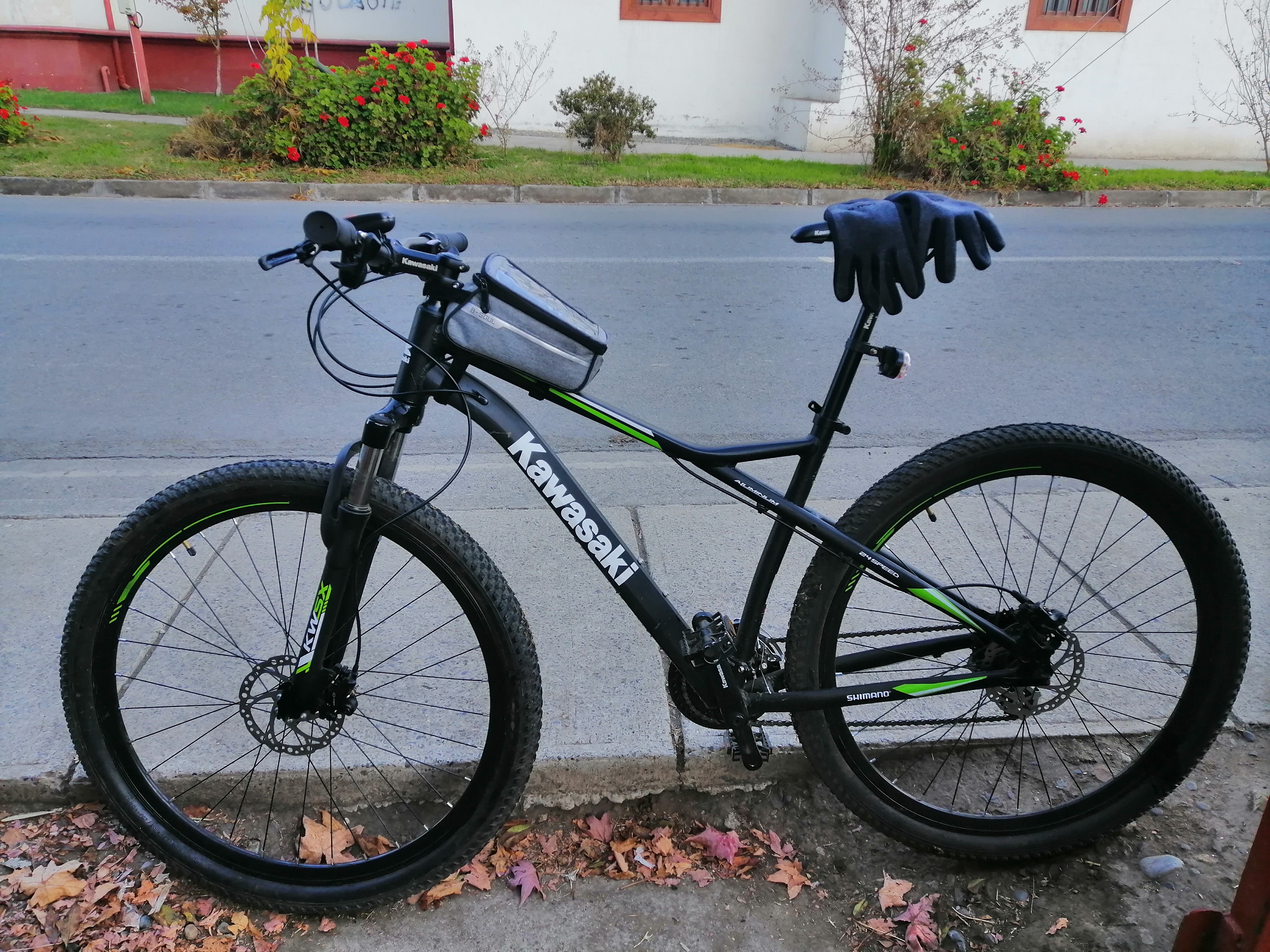
Cycling in San Vicente
Discover a map of 248 cycling routes and bike trails near San Vicente, created by our community.
Region portrait
Get to know San Vicente
Find the right bike route for you through San Vicente, where we've got 248 cycle routes to explore. Most people get on their bikes to ride here in the months of May and November.
5,541 km
Tracked distance
248
Cycle routes
22,572
Population
Community
Most active users in San Vicente


From our community
The best bike routes in and around San Vicente


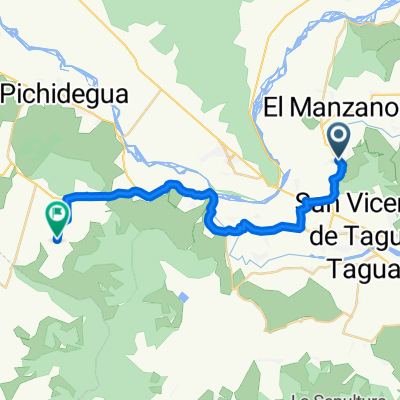
De Calle A. Gines Yáñez 104, San Vicente de Taguatagua a Aguas Claras 318, Peumo
Cycling route in San Vicente, Región del Libertador General Bernardo O’Higgins, Chile
- 13.6 km
- Distance
- 109 m
- Ascent
- 141 m
- Descent


De H-574 760, Quinta de Tilcoco a H-574 760, Quinta de Tilcoco
Cycling route in San Vicente, Región del Libertador General Bernardo O’Higgins, Chile
- 22.9 km
- Distance
- 265 m
- Ascent
- 277 m
- Descent


De H-50 035, Quinta de Tilcoco a H-50, Quinta de Tilcoco
Cycling route in San Vicente, Región del Libertador General Bernardo O’Higgins, Chile
- 23.1 km
- Distance
- 213 m
- Ascent
- 222 m
- Descent


De H-50, Quinta de Tilcoco a H-574, Quinta de Tilcoco
Cycling route in San Vicente, Región del Libertador General Bernardo O’Higgins, Chile
- 106.8 km
- Distance
- 449 m
- Ascent
- 454 m
- Descent
Discover more routes
 De H-588, San Vicente a H-588, San Vicente
- Distance
- 25.7 km
- Ascent
- 346 m
- Descent
- 383 m
- Location
- San Vicente, Región del Libertador General Bernardo O’Higgins, Chile
 Ruta H-774, Peumo a Walker Martínez, Peumo
- Distance
- 6.4 km
- Ascent
- 23 m
- Descent
- 6 m
- Location
- San Vicente, Región del Libertador General Bernardo O’Higgins, Chile
 De Camino Alto del Huesillo, San Vicente de Tagua Tagua a Camino Alto del Huesillo, San Vicente de Tagua Tagua
- Distance
- 11.7 km
- Ascent
- 373 m
- Descent
- 375 m
- Location
- San Vicente, Región del Libertador General Bernardo O’Higgins, Chile
 parquímetros
- Distance
- 14.1 km
- Ascent
- 20 m
- Descent
- 22 m
- Location
- San Vicente, Región del Libertador General Bernardo O’Higgins, Chile
 De Peumo a Avenida España 1536, San Vicente de Taguatagua
- Distance
- 13.7 km
- Ascent
- 117 m
- Descent
- 87 m
- Location
- San Vicente, Región del Libertador General Bernardo O’Higgins, Chile
 sn vicente hasta laguna sn vicente..
- Distance
- 24 km
- Ascent
- 92 m
- Descent
- 92 m
- Location
- San Vicente, Región del Libertador General Bernardo O’Higgins, Chile
 Tunca El Medio - El Salto de Almahue
- Distance
- 28.8 km
- Ascent
- 206 m
- Descent
- 277 m
- Location
- San Vicente, Región del Libertador General Bernardo O’Higgins, Chile
 Tunca el Medio- Mirador 1 Larmahue
- Distance
- 16.3 km
- Ascent
- 78 m
- Descent
- 121 m
- Location
- San Vicente, Región del Libertador General Bernardo O’Higgins, Chile