
Cycling in Guanajuato
Discover a map of 1,461 cycling routes and bike trails in Guanajuato, created by our community.
Region portrait
Get to know Guanajuato
Find the right bike route for you through Guanajuato, where we've got 1,461 cycle routes to explore. Most people get on their bikes to ride here in the months of June and July.
45,078 km
Tracked distance
1,461
Cycle routes
Community
Most active users in Guanajuato


From our community
The best bike routes in Guanajuato


despidiendo las vacaciones 😭🚴
Cycling route in Santa Cruz de Juventino Rosas, Guanajuato, Mexico
- 27.8 km
- Distance
- 196 m
- Ascent
- 191 m
- Descent
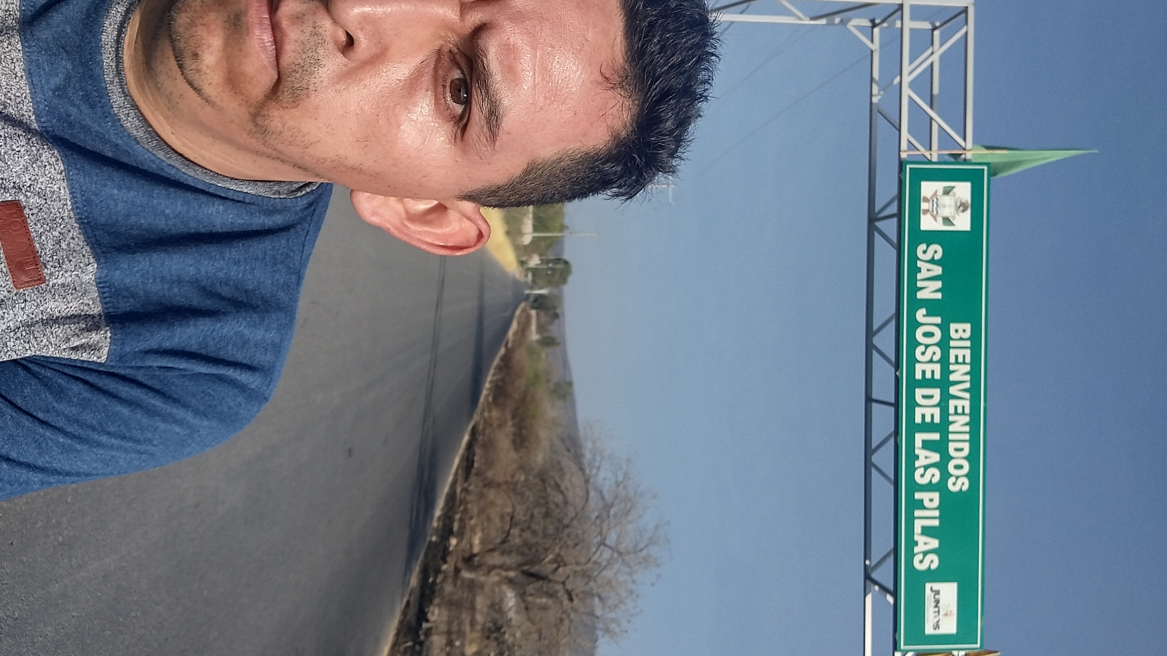
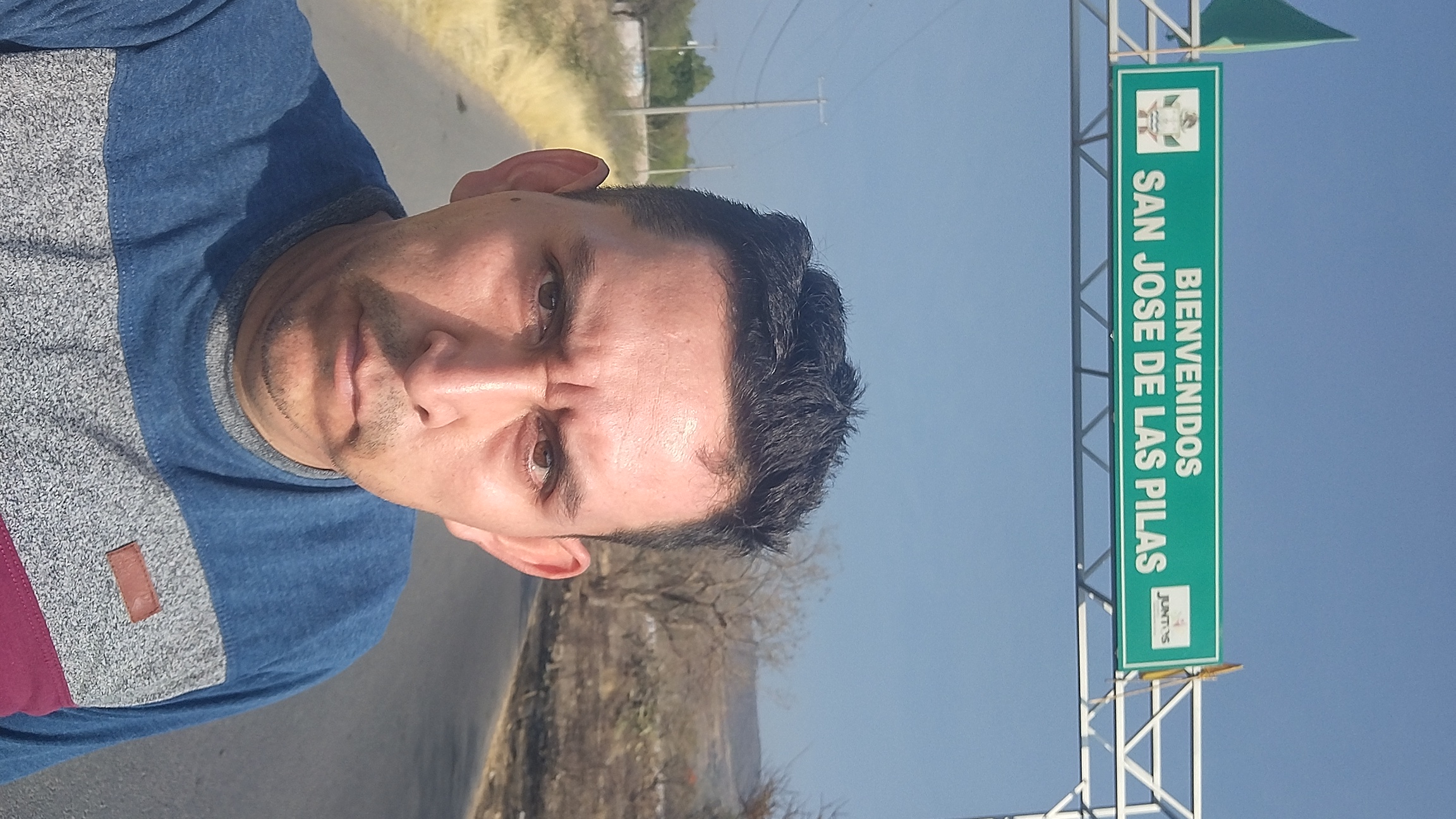
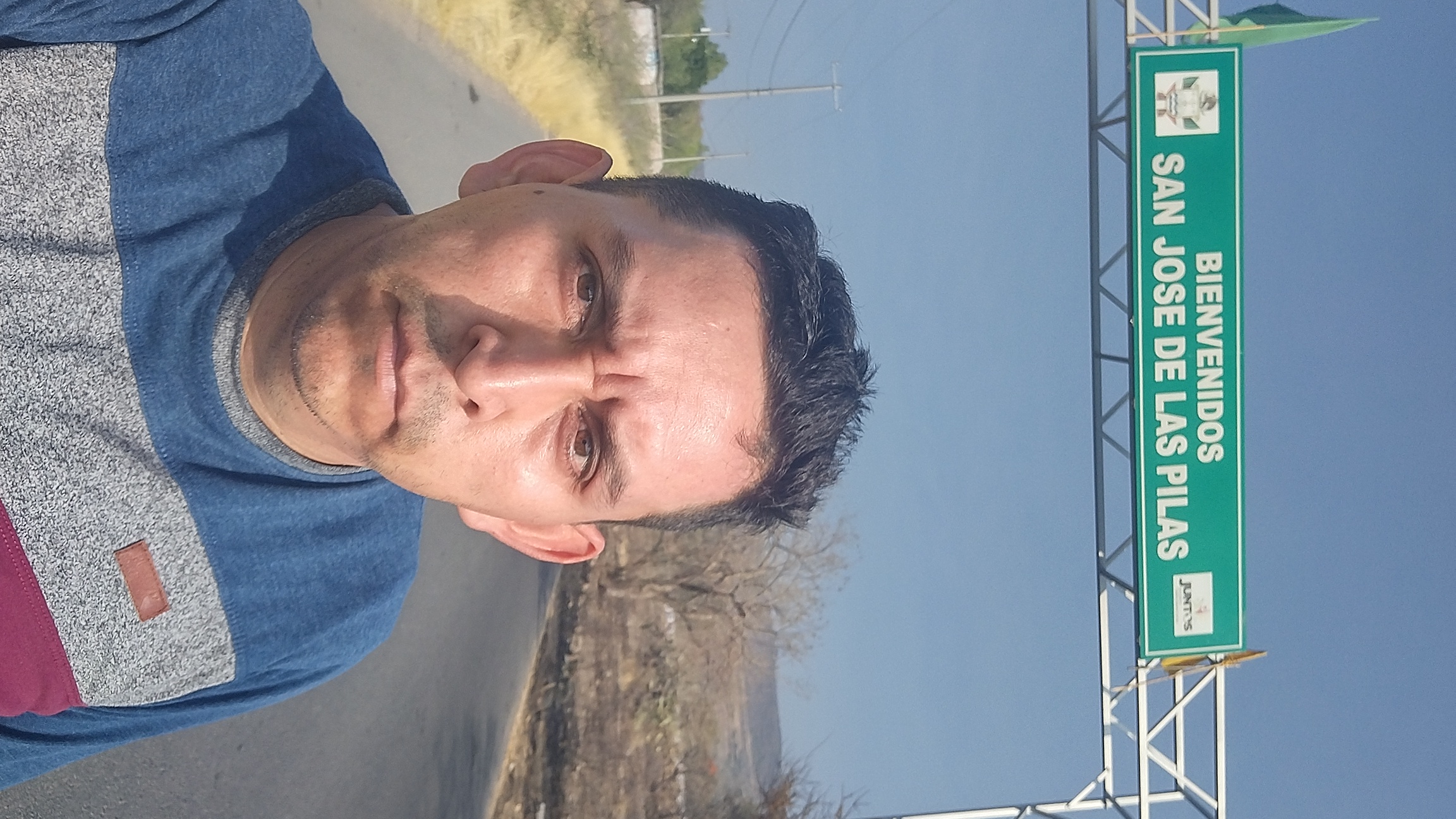

Las pilas-+-San Juan de la Cruz
Cycling route in Santa Cruz de Juventino Rosas, Guanajuato, Mexico
- 33.3 km
- Distance
- 206 m
- Ascent
- 208 m
- Descent

A Villagrán
Cycling route in Santa Cruz de Juventino Rosas, Guanajuato, Mexico
- 32.2 km
- Distance
- 159 m
- Ascent
- 146 m
- Descent


Celaya directo!!!
Cycling route in Santa Cruz de Juventino Rosas, Guanajuato, Mexico
- 41.7 km
- Distance
- 102 m
- Ascent
- 93 m
- Descent
Discover more routes
 Cuenda--Naranjillo
- Distance
- 35.1 km
- Ascent
- 208 m
- Descent
- 198 m
- Location
- Santa Cruz de Juventino Rosas, Guanajuato, Mexico
 La presa-Cupuato
- Distance
- 27.8 km
- Ascent
- 216 m
- Descent
- 208 m
- Location
- Moroleón, Guanajuato, Mexico
 ride through Dolores Hidalgo
- Distance
- 25.6 km
- Ascent
- 113 m
- Descent
- 114 m
- Location
- Dolores Hidalgo Cuna de la Independencia Nacional, Guanajuato, Mexico
 Ruta El Estanco Grupo los Hu Ha ha!! 04 ago 2013
- Distance
- 68.9 km
- Ascent
- 736 m
- Descent
- 739 m
- Location
- Irapuato, Guanajuato, Mexico
 Quick bike tour through León
- Distance
- 7.2 km
- Ascent
- 38 m
- Descent
- 42 m
- Location
- La Ermita, Guanajuato, Mexico
 De Avenida Constituyentes 298-C, Celaya a Hidalgo, El Salteador
- Distance
- 76.2 km
- Ascent
- 816 m
- Descent
- 582 m
- Location
- Celaya, Guanajuato, Mexico
 De Calle 16 de Septiembre 507, San Felipe a Calle 16 de Septiembre 507, San Felipe
- Distance
- 7.5 km
- Ascent
- 253 m
- Descent
- 253 m
- Location
- San Felipe, Guanajuato, Mexico
 Presa San Mike
- Distance
- 50.2 km
- Ascent
- 1,633 m
- Descent
- 1,633 m
- Location
- Las Trojas, Guanajuato, Mexico
Cycling regions in Guanajuato
Corralejo de Arriba
2 cycling routes
Acámbaro
16 cycling routes
Santa Ana
1 cycling route
See where people are biking in Mexico
